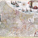
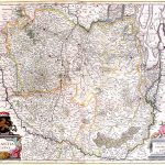
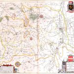
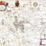
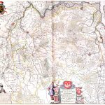
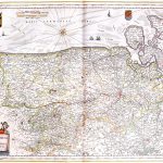
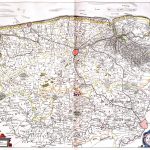
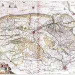
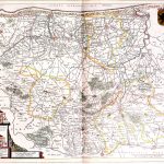
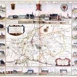
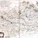
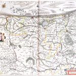
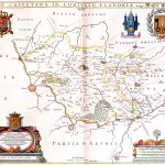
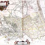
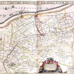
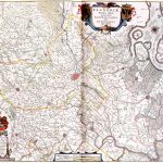
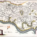
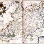
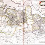
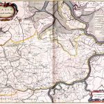
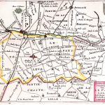
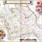
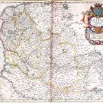
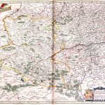
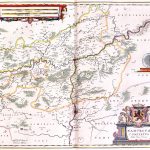
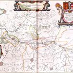
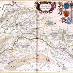
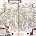
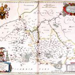
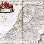
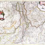
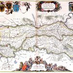
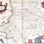
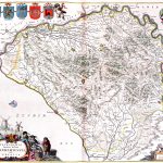
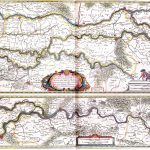
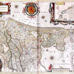
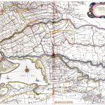
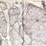
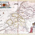
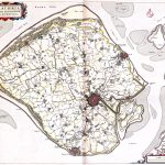
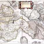
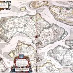
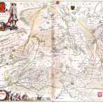
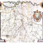
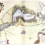
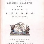
The Atlas Maior was the final version of the most comprehensive atlas of world maps by Johannes Blaeu 1596-1673. This atlas was published in 11 volumes in latin between 1662 and 1665. It was the largest, 594 maps, and, not surprisingly, the most expensive book published in the 17th century. The maps are in colour and are of exceptional quality. The atlas includes maps by many of the foremost mapmakers of the day.
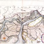
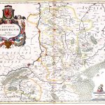
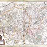
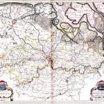
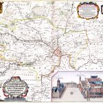
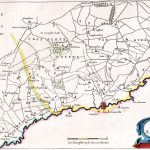
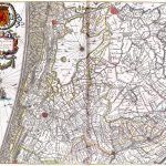
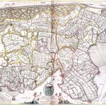
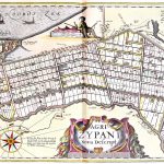
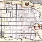
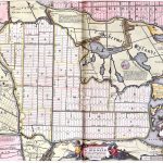
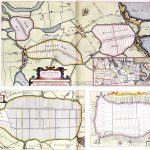
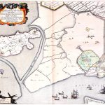
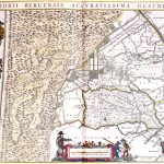
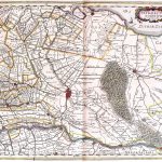
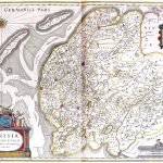
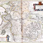
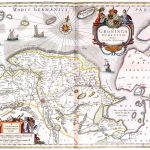
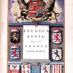
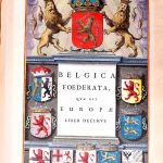
Volume 4 contains maps of Holland & Belgium. Land ownership is shown on maps of polders. The cartouches maintain the exceptional artistic quality of atlas.
(Image Full Screen plus Zoom and Pan controls are located in top right of Gallery when opened)