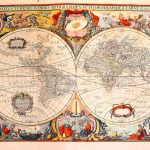
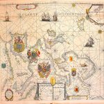
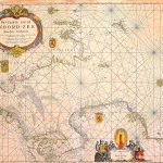
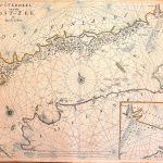
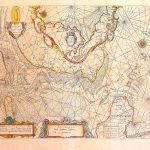
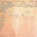
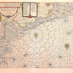
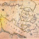
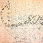
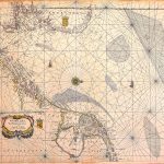
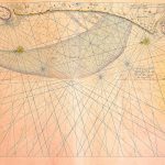
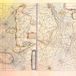
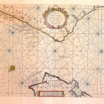
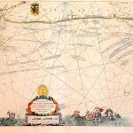
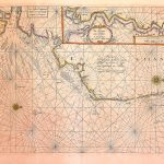
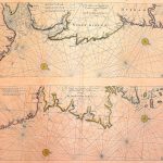
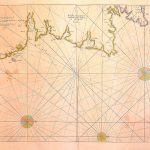
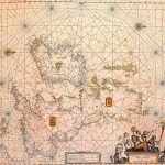
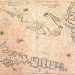
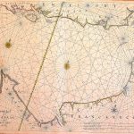
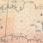
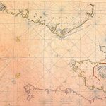
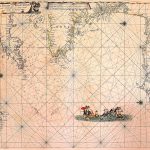
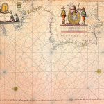
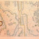
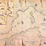
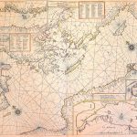
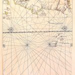
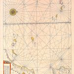
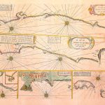
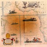
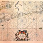
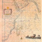
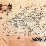
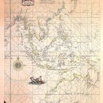
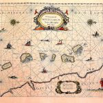
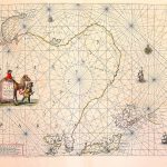
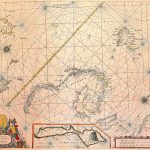
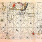
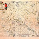
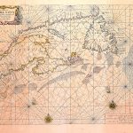
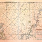
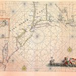
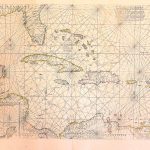
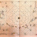
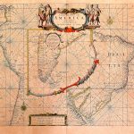
A World Atlas of Charts by Jacob Colom 1600-1675. Colom specialised in producing accurate charts and also published his own atlases in many languages. They are now very rare. The charts include decorative cartouches and colourful artistic images. Sheet 19 of the British Isles includes a map of Ireland with a correct west coast before the publication of the recognised correct coastline by Petty in 1683. The world map in hemispheres is particularly attractive.
(Image Full Screen plus Zoom and Pan controls are located in top right of Gallery when opened)