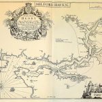
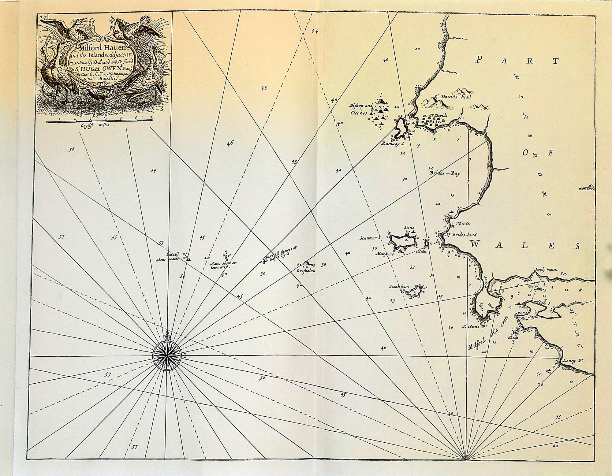
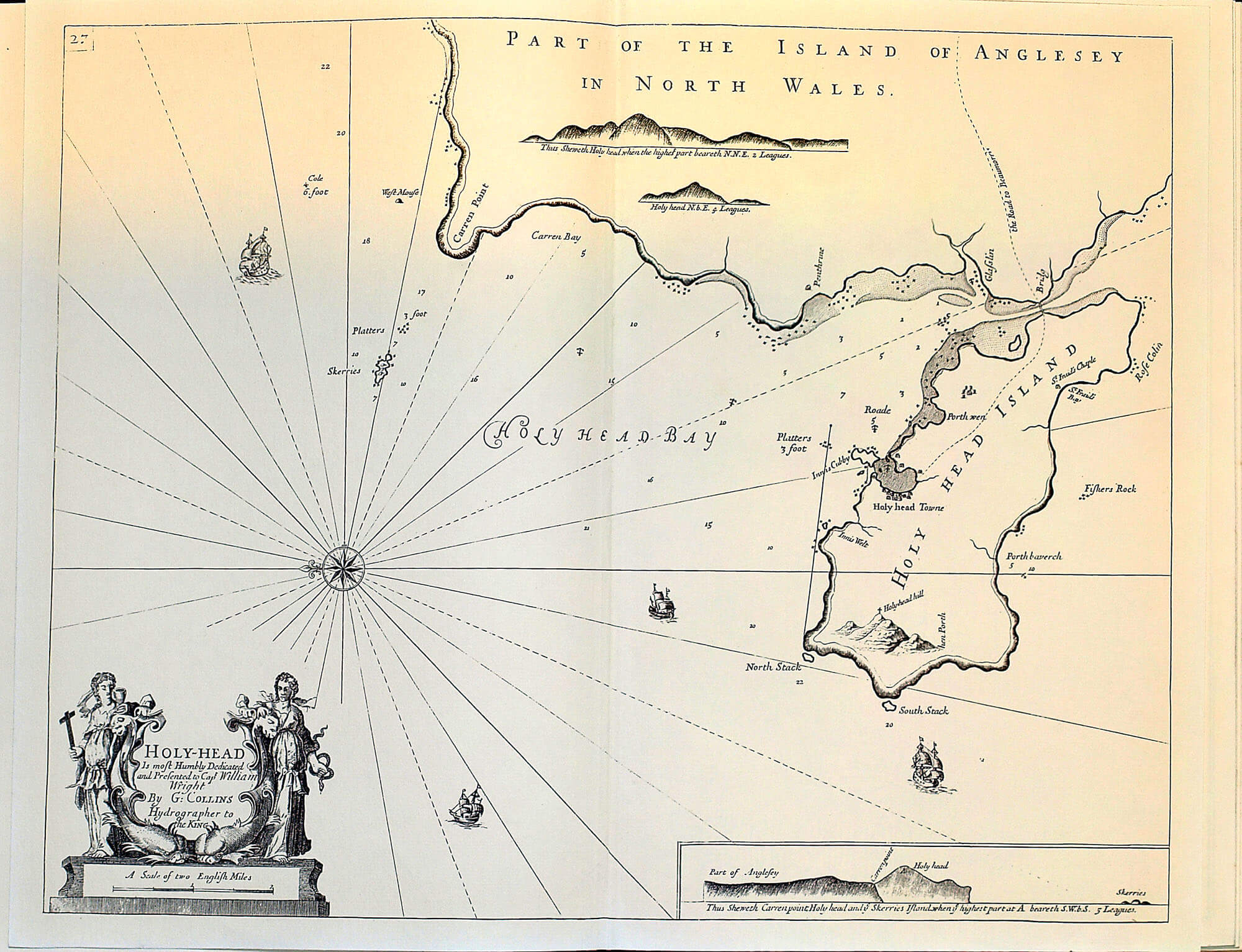
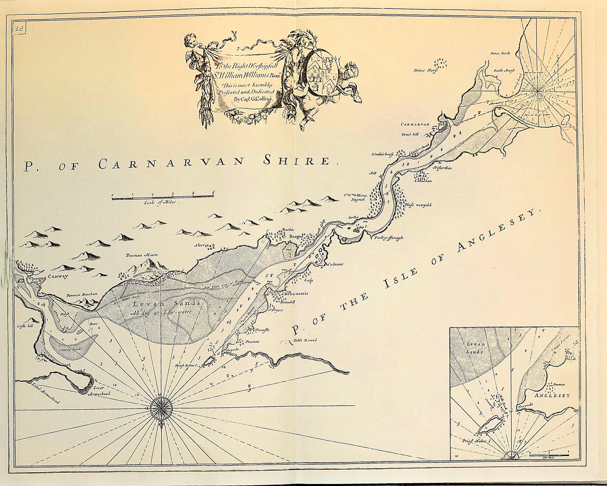
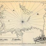
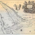
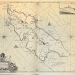
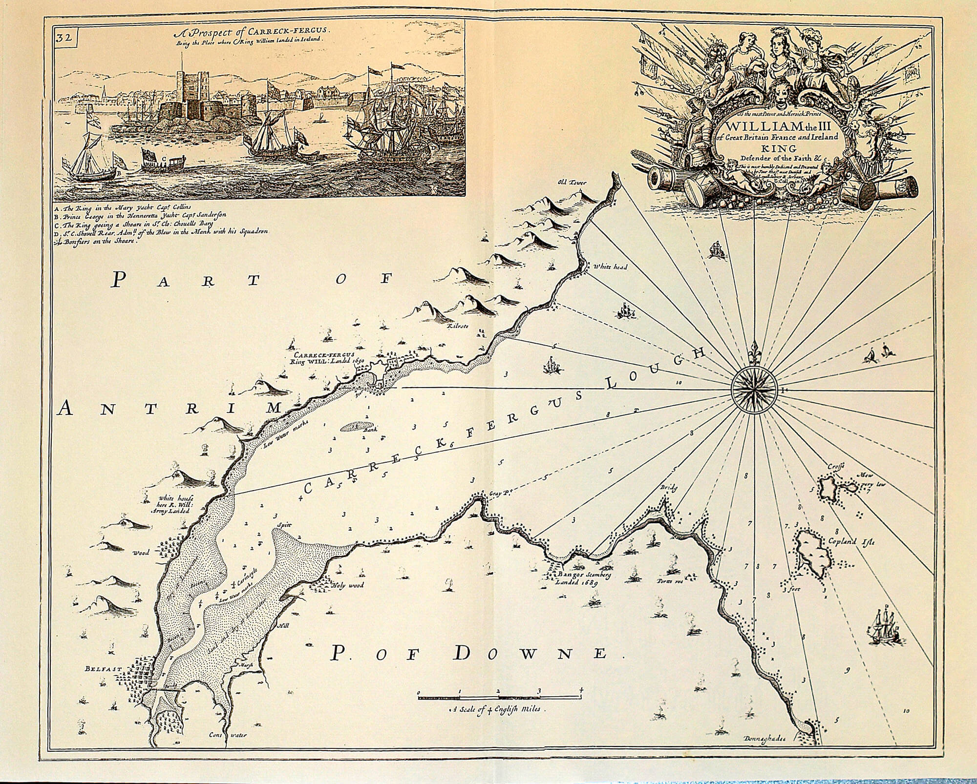
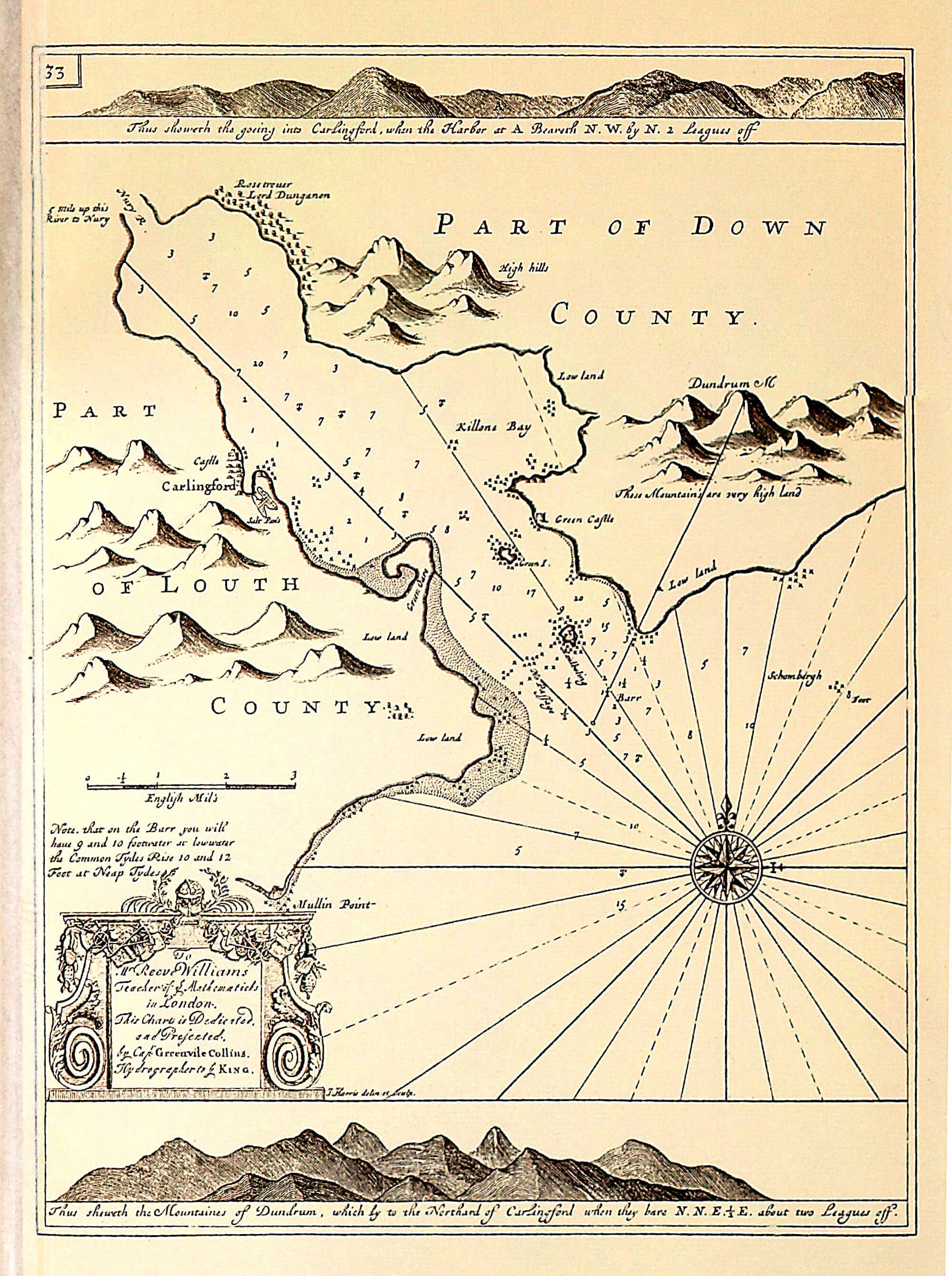
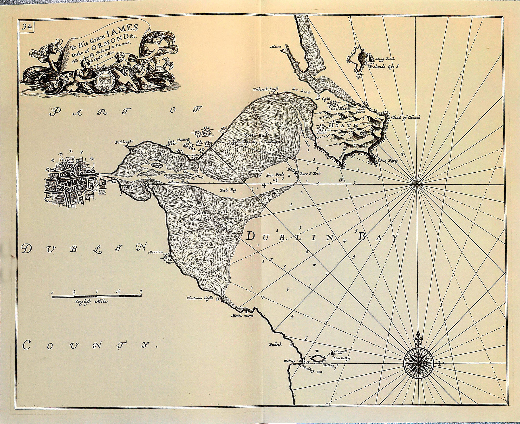
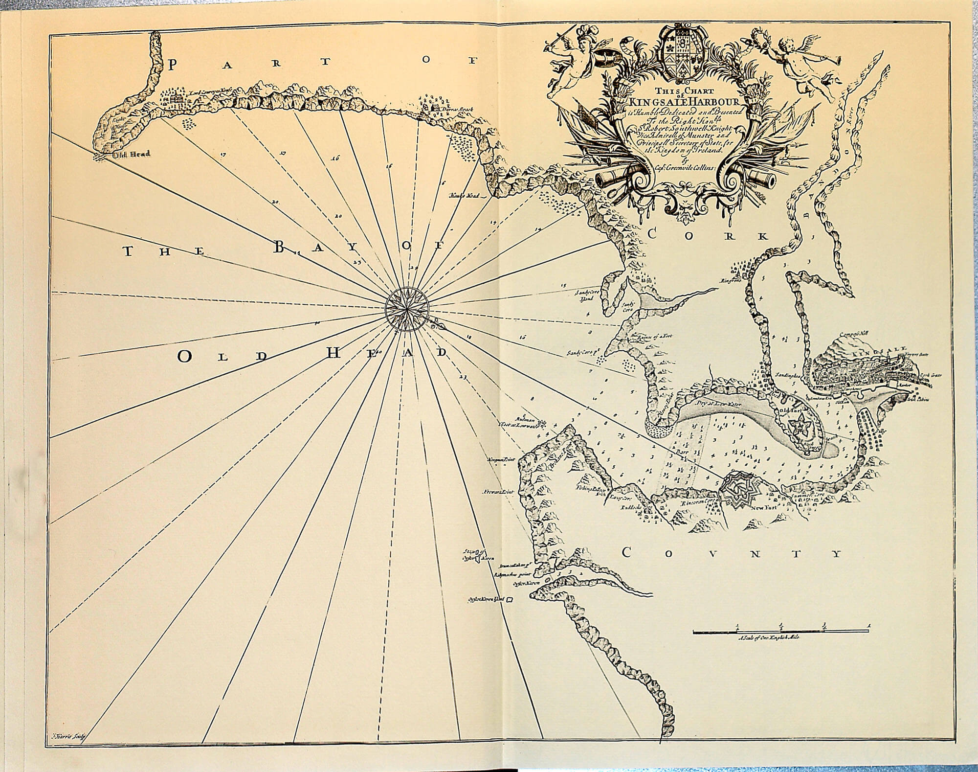
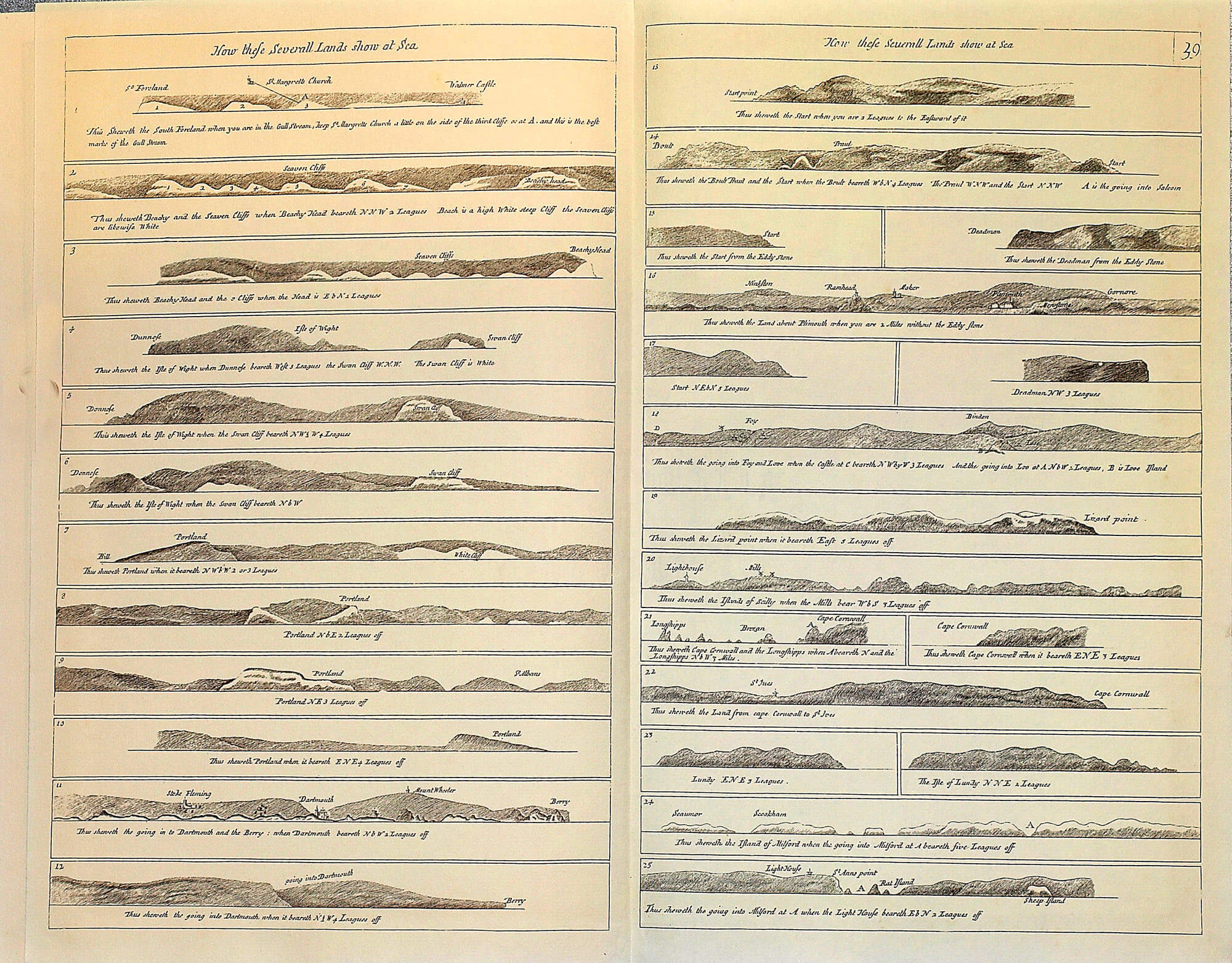
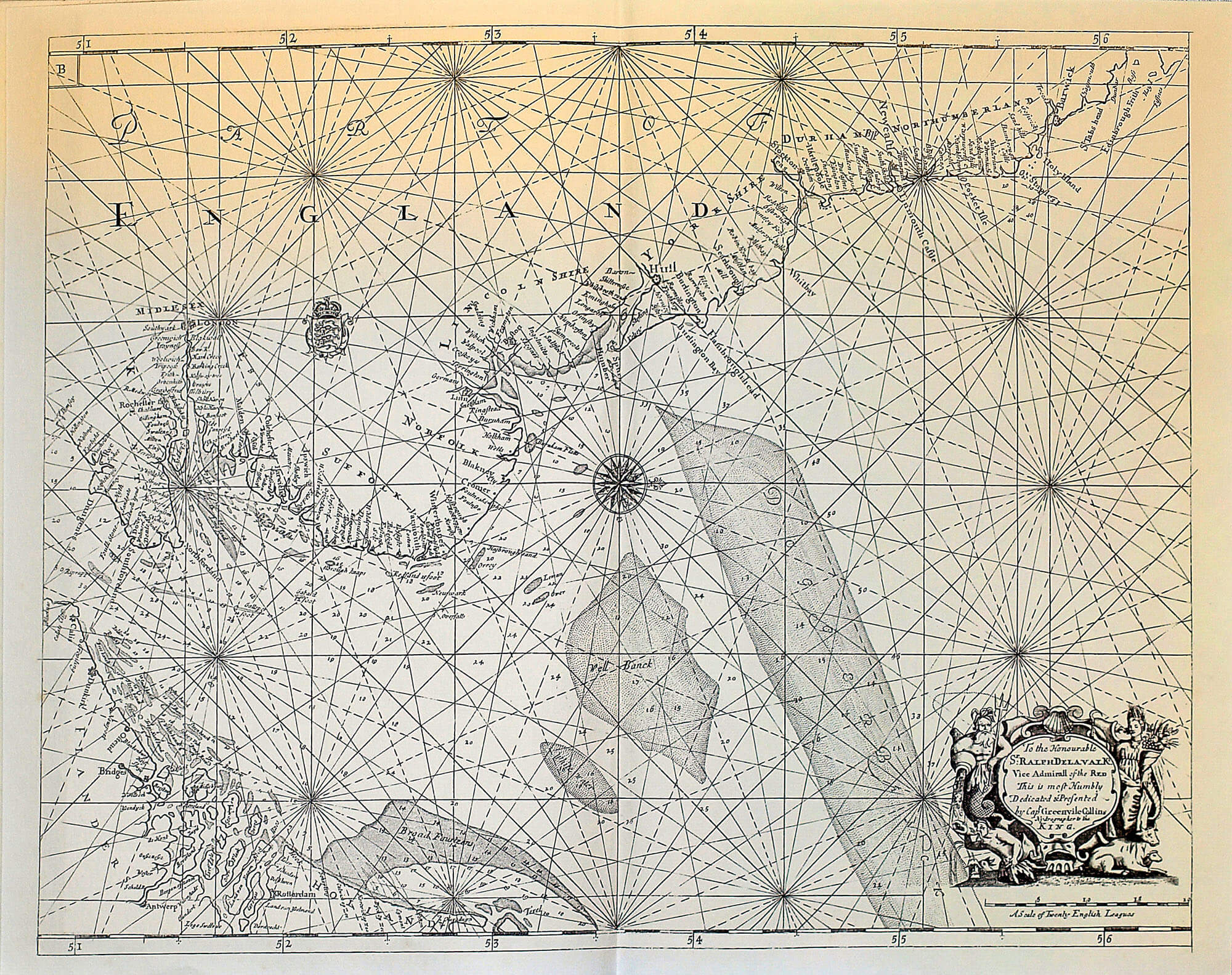
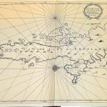
World Charts The Coasting Pilot Greenville Collins 1753
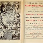
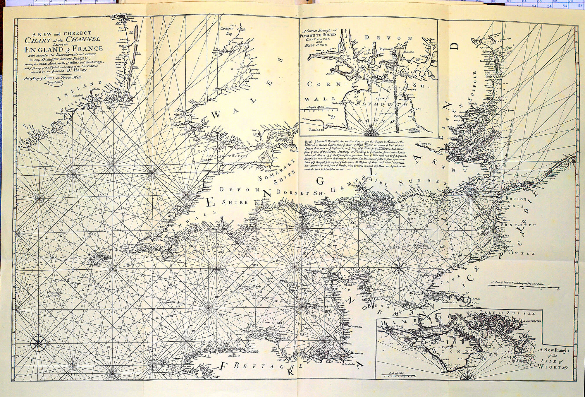
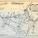
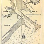
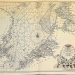
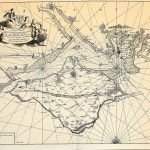
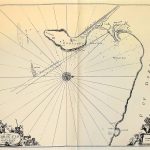
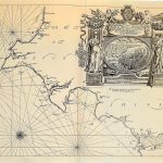
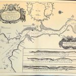
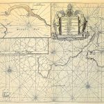
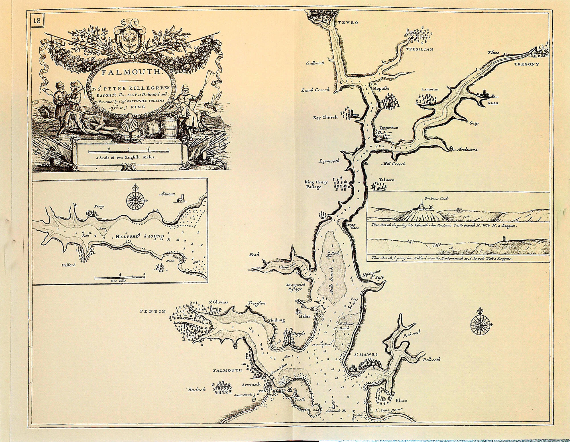
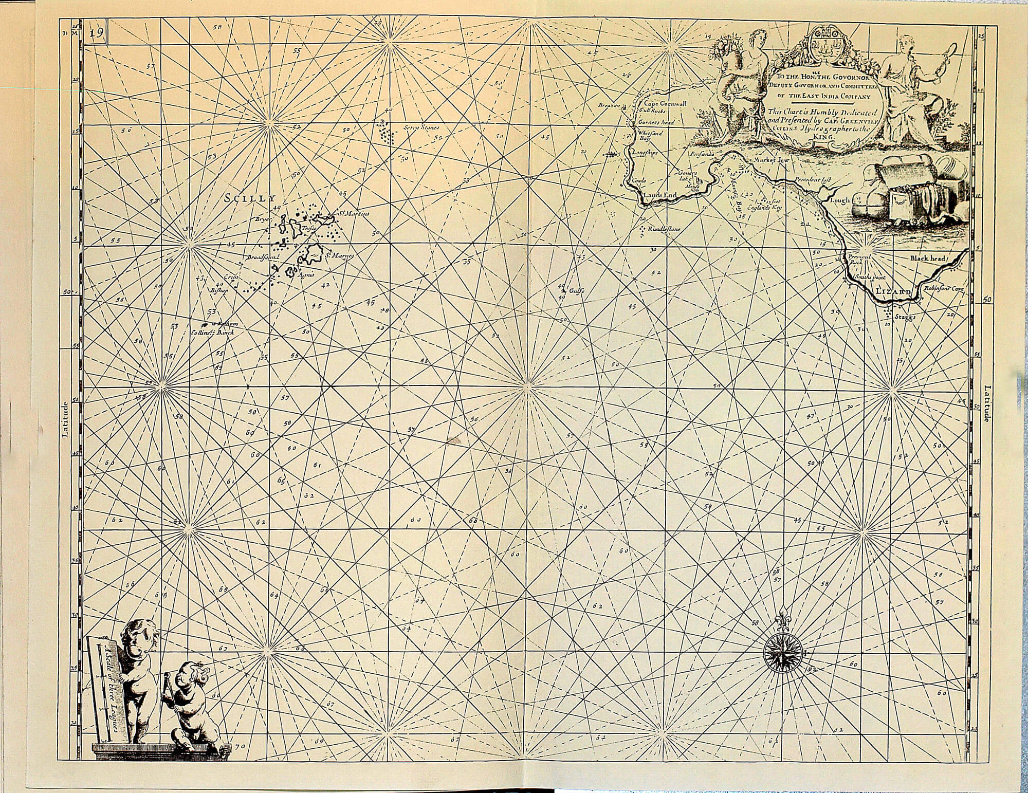
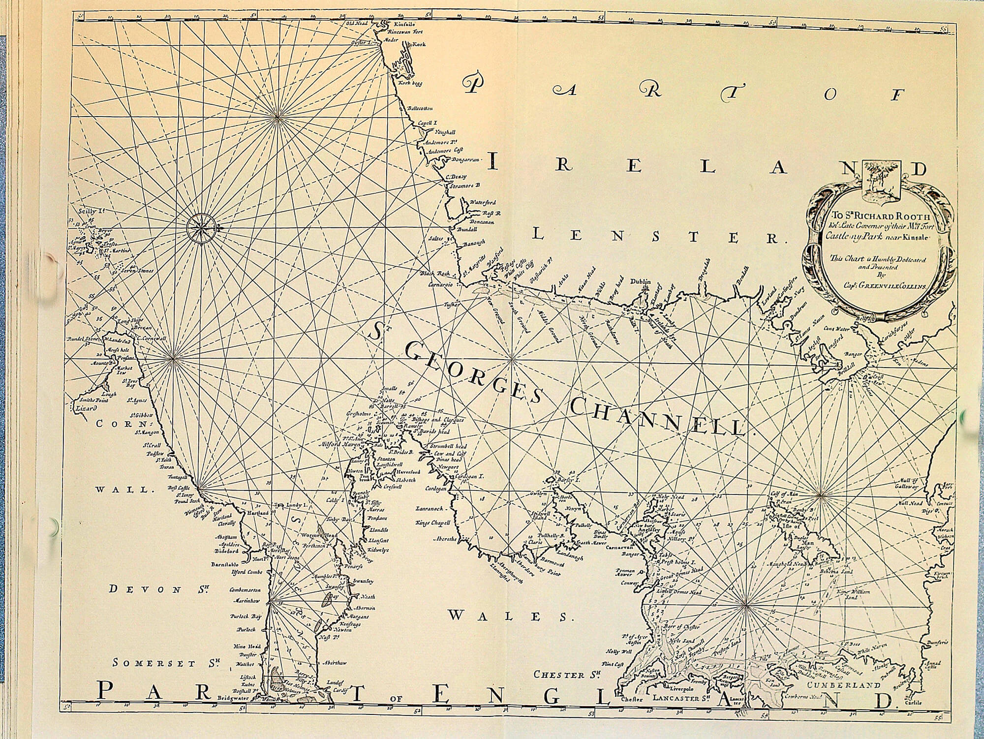
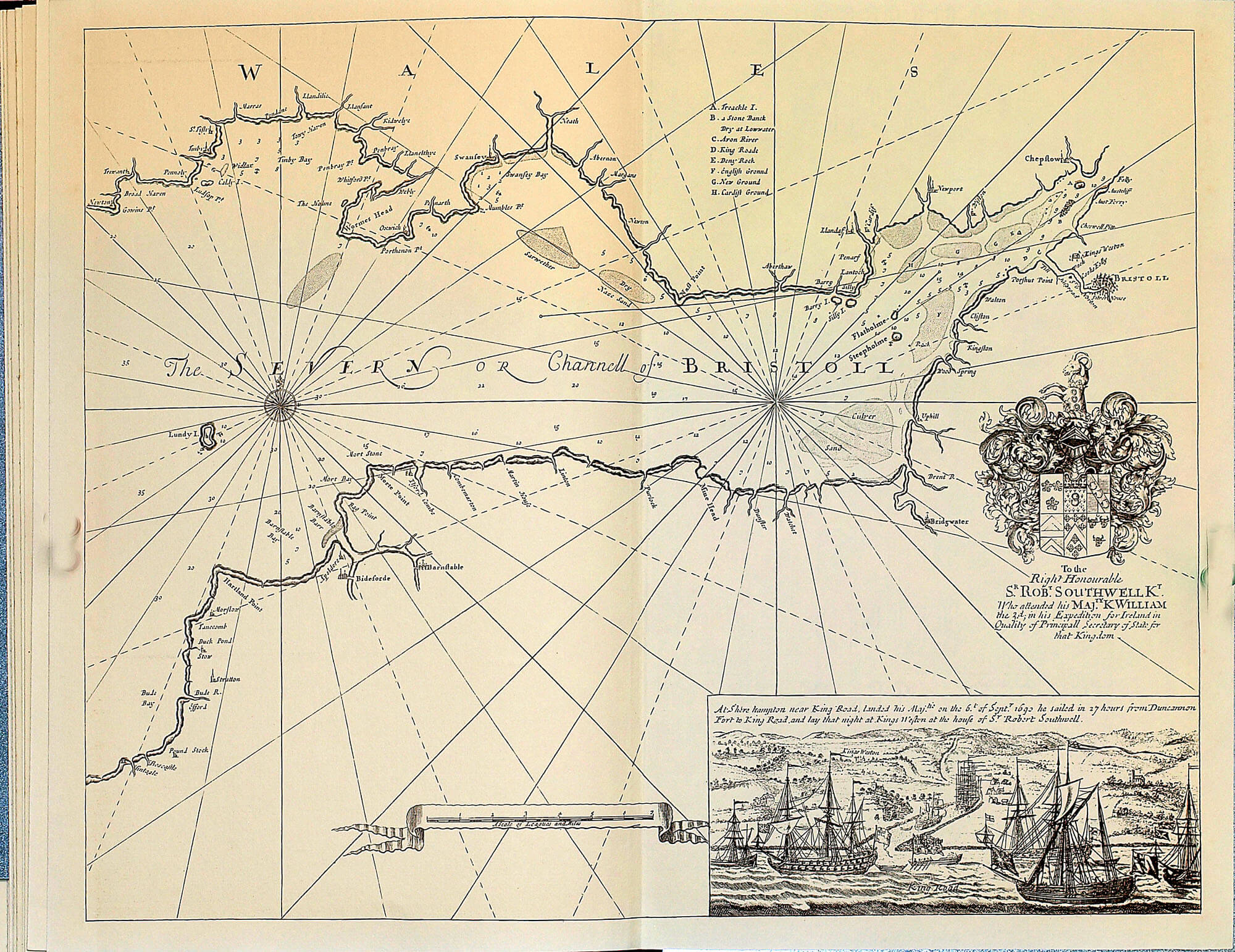
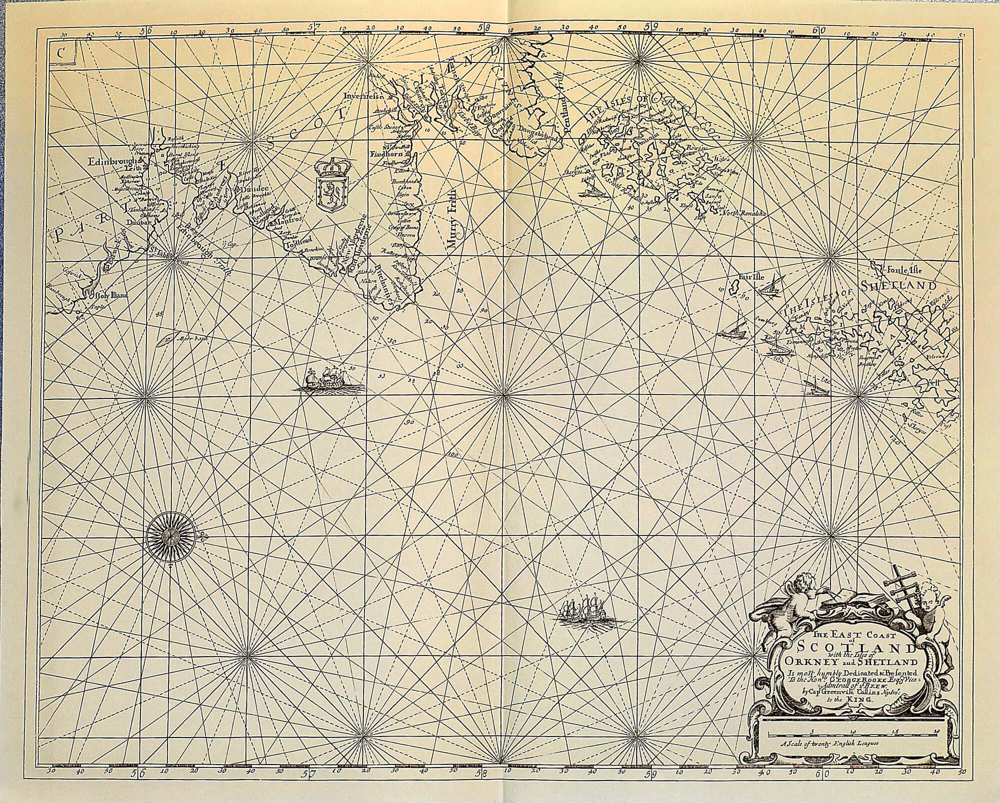
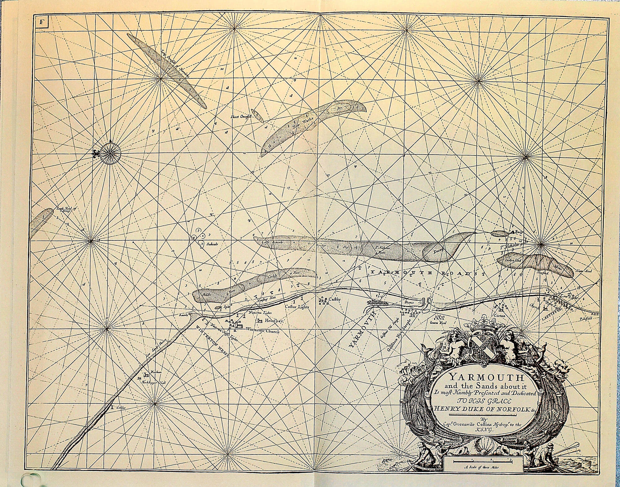
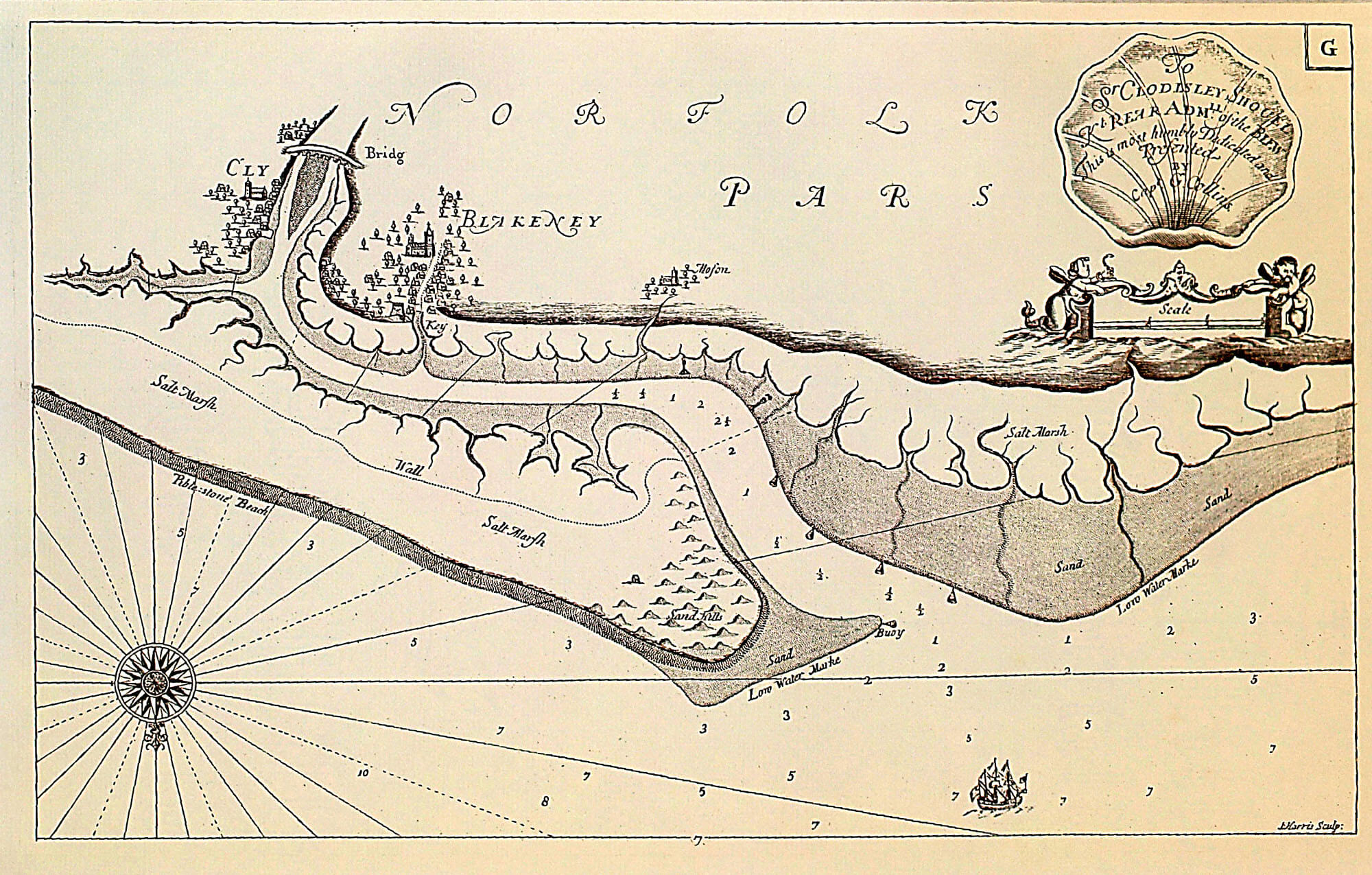
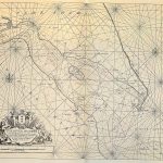
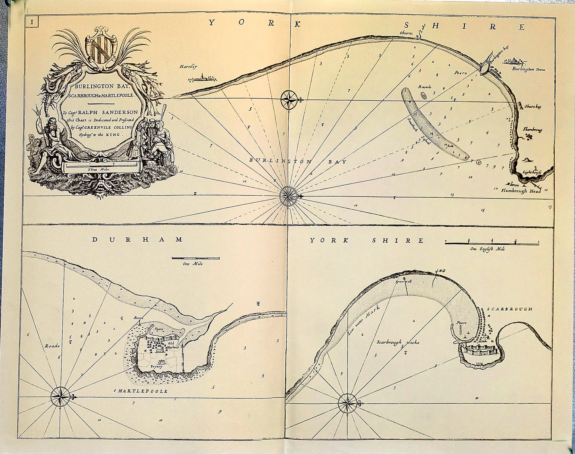
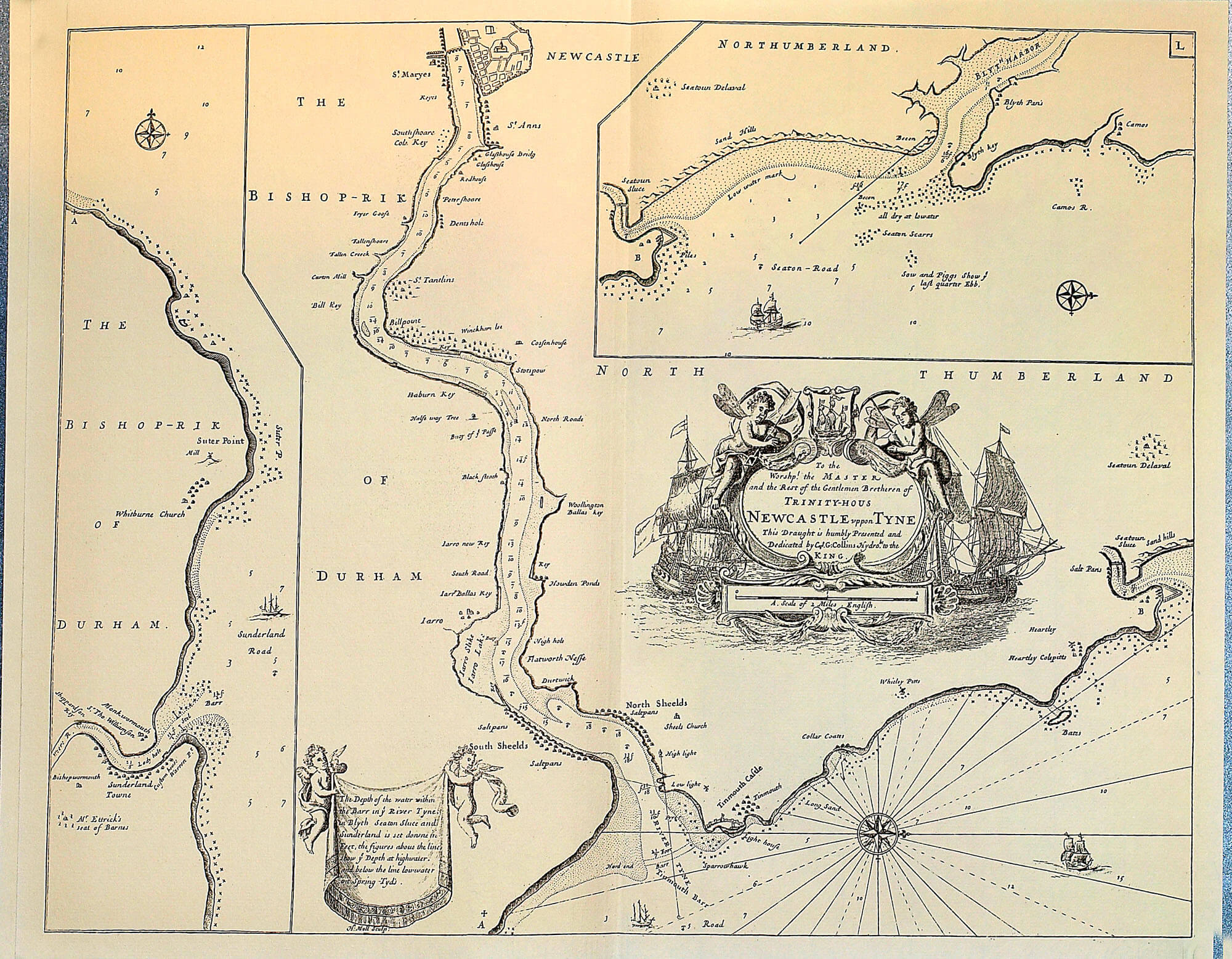
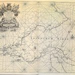
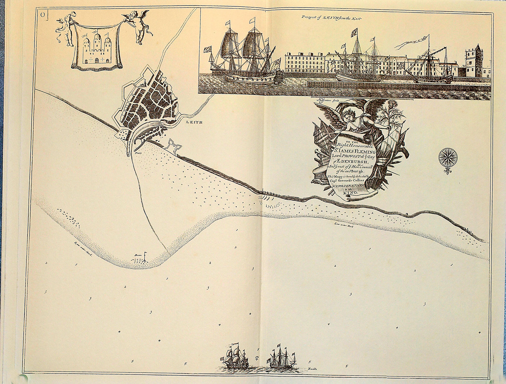
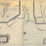
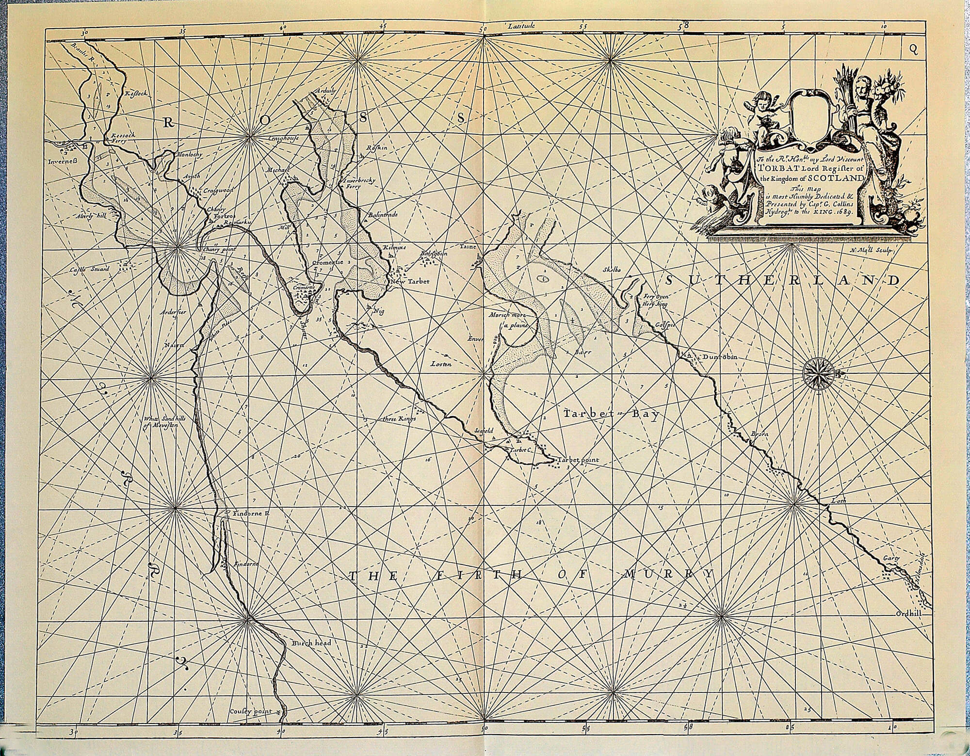
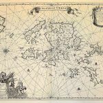
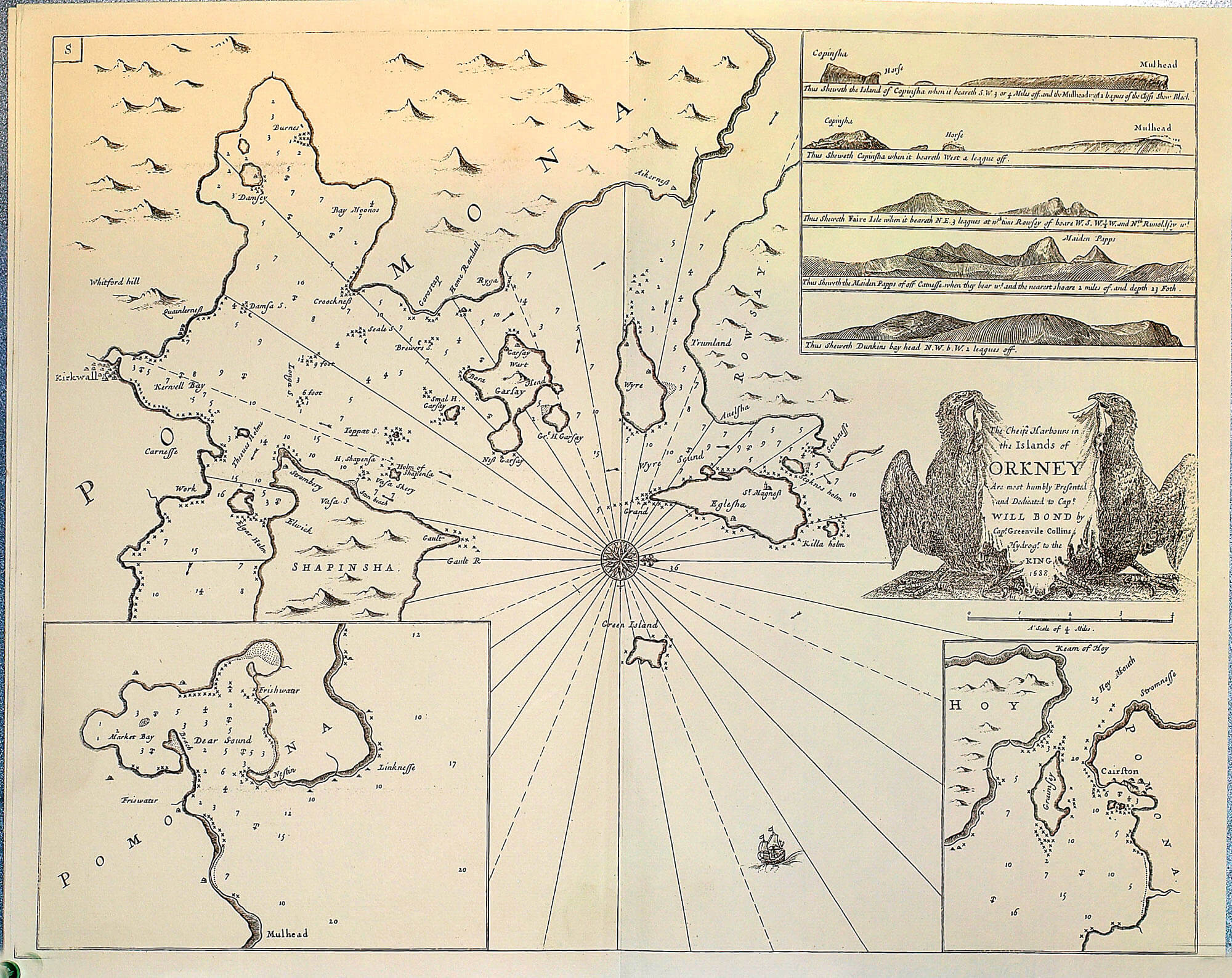
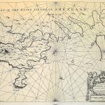
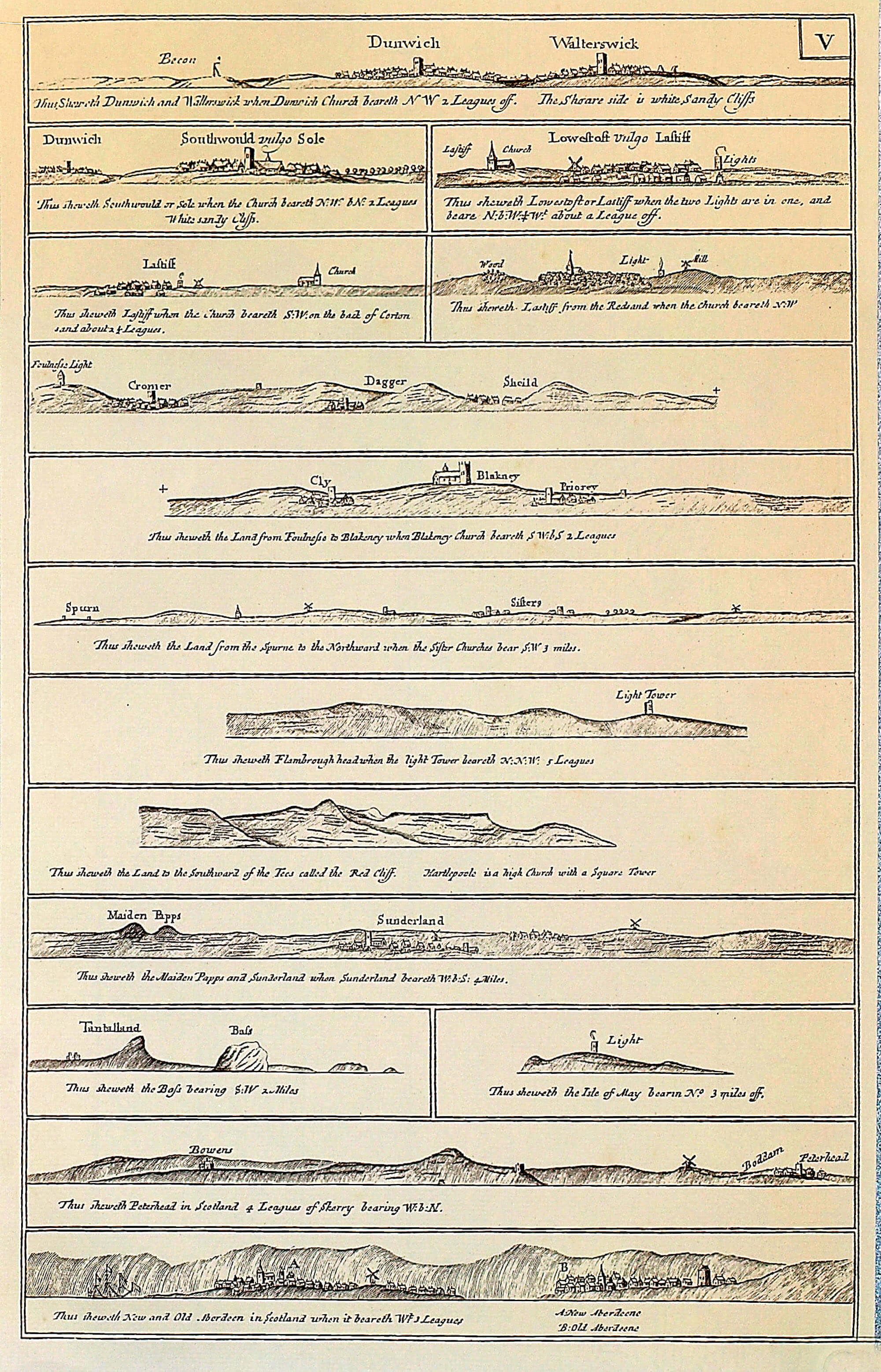
“Great Britains Coasting Pilot of England & Scotland” by Capt Greenville Collins 1649-1694. The atlas included charts of Wales and major bays in Ireland. Greenville Collins was a prominent hydrographer in the Royal Navy and compiled the first comprehensive survey of the coast of Britain, the Orkneys and Shetlands. The charts were significantly more accurate than any previous charts and thus made an important contribution to seafaring activities in the 18th century.
(Image Full Screen plus Zoom and Pan controls are located in top right of Gallery when opened)