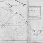
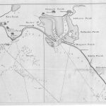
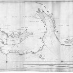
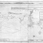
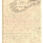
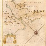
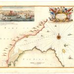
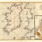
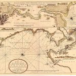
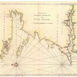
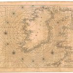
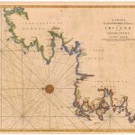
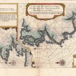
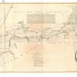
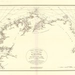
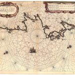
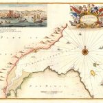
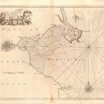
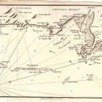
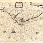
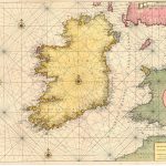
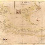
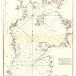
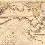
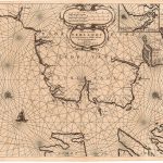
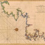
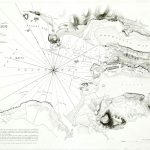
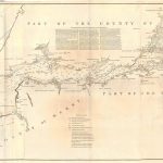
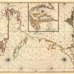
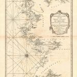
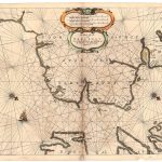
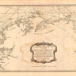
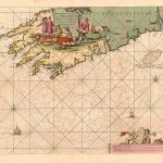
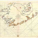
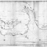
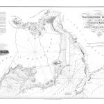
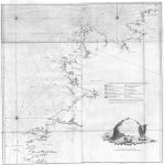
A suite if maps and charts of the Irish coastline. There are a number of maps of the Shannon Estuary. There are maps by Murdock McKenzie in both colour and mono. These are not as detailed as later Admiralty charts but show the coastlines at the end of the 18th century.
(Image Full Screen plus Zoom and Pan controls are located in top right of Gallery when opened)
Click any image to open Gallery
9-72-XXXIII Tuskar to Wicklow MMC
9-72-XXXIII TUSKAR-2 Cahore
9-72-XXXIII TUSKAR-3 WExford
9-72-XXXIII TUSKAR-4 Dunachmore
9-74-Ireland East MMCXXVI
9-74-XXVI St John’s Point to Larne MMC
9a-73-bEast Ireland MMC
9a-82b Ireland Southern Approaches
9-gc-Carlingford
9-gc-Carrickfergus
9-hu-Sligo
9-h-West Coast
9-j-Ireland & Britain
9-j-ireland
9-Kinsale
9-mp Galway-Limerick
9-mp ireland-Mount & Page
9-mp-Swilly
9-North & West Coast John Sellar
9-Shannon Estuary-Sayers & Bennett
Belfast Lough to Sligo Bay Joseph Huggart
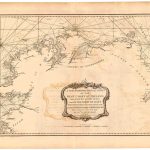
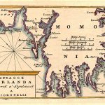
Cape Horn to Slyne Head Coronelli
Cape Horn to Slyne Head
Carlingford Lough Grenville Collins-a
Carrickfergus Lough Grenville Collins
Dblin Bay Greenville Collins
Dublin Bay Greenville Collins
Dublin Bay William Morris
Dublin to Cork Chart
Entrance to Irish Sea St Georges Channel
Galway Bay to River Shannon
HEW-9-57 Dursey Island to Valentia Harbour
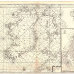
Ireland & Britain
Ireland & West Britain Van Loon
Ireland & West Britain
Ireland & West Coast of England
Ireland Chart
Ireland Mount & Page
Ireland South East & Dublin
Ireland South East Greenville Collins
Irish Sea Joseph Huggart
Kinsale Harbour Greenville Collins
Kinsale
Lough Swilly to Drogheda Dutch
Lough Swilly to Slyne Head
Nimmo Sligo RSJ
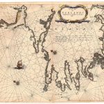
Shannon Estuary Laurie & Whittle 1794
Shannon to Galway Bay Mortier
Shannon to Galway Bay Mortier-2
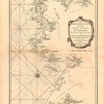
Shannon to Sligo Bay Huddart
Sheepswhaven Bay to Drogheda
Sligo Bay to Tory Island Joseph Huggart 1781
Slyne Head to Cork Coronelli
Slyne Head to Cork
South West Ireland Dutch
South West Ireland Kerry Cork
South West Ireland Shannon to Dungarvan
St Johns Point to Larne Strangford to Belfast Lough