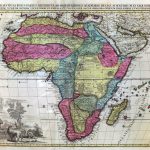
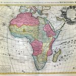
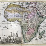
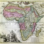
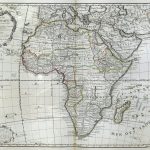
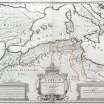
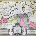
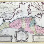
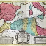
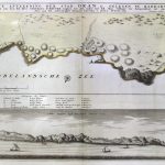
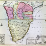
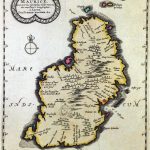
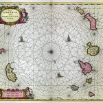
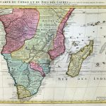
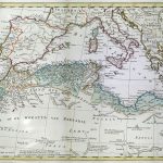
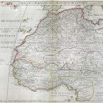
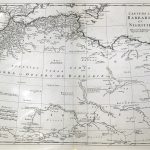
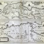
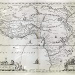
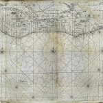
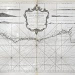
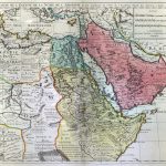
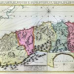
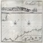
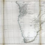
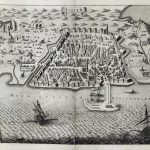
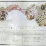
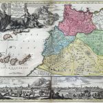
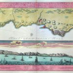
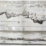
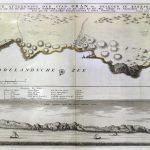
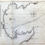
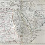
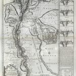
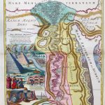
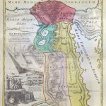
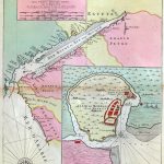
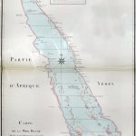
A small collection of fascinating 18th century maps covering the whole African continent. There are maps of both the whole continent, many very attractively drawn and coloured and many are by leading European mapmakers. There are a number of the same maps with different colourings. There are maps of specific regions including Egypt, the Mediterranean coastal countries and the Guinea slave coast.
(Image Full Screen plus Zoom and Pan controls are located in top right of Gallery when opened)