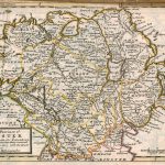
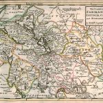
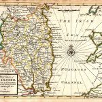
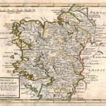
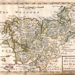
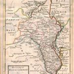
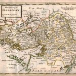
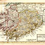
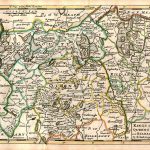
A suite of county maps in the particular style of Herman Moll 1654-1734. Some maps contain more than one county and the county boundaries are highlighted in colour. There are also provincial maps and a map of Ireland. The information on the maps include roads, towns, and the road network in the early part of the 18th century. There is a simple rectangular cartouche with the county name very much in the style of Moll .
(Image Full Screen plus Zoom and Pan controls are located in top right of Gallery when opened)