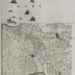
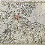
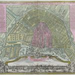
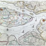
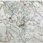
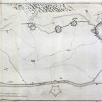
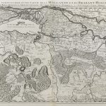
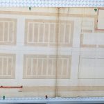
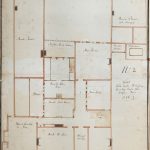
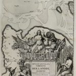
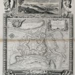
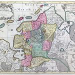
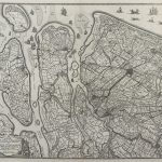
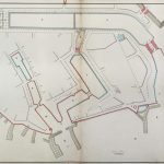
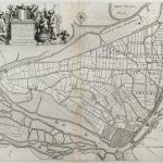
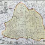
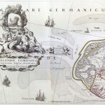
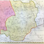
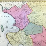
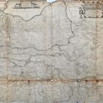
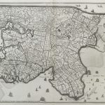
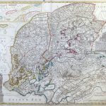
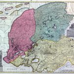
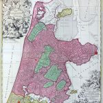
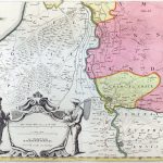
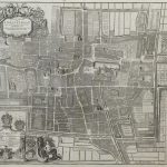
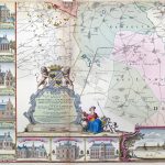
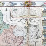
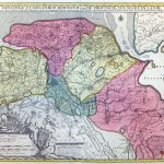
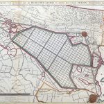
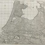
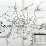
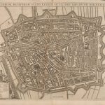
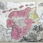
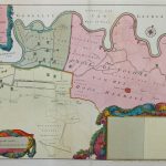
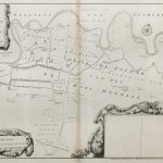
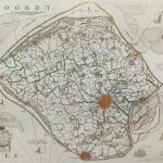
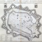
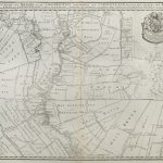
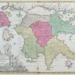
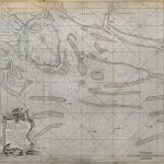
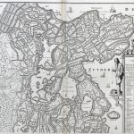
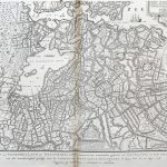
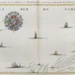
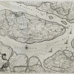
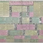
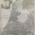
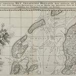
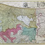
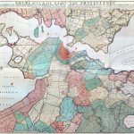
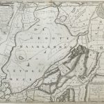
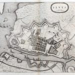
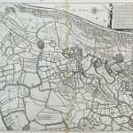
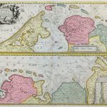
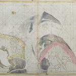
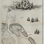
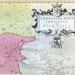
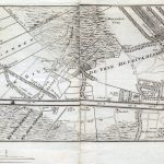
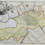
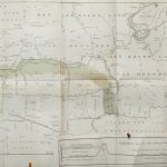
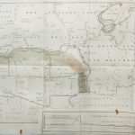
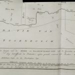
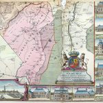
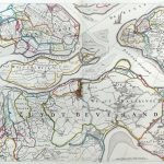
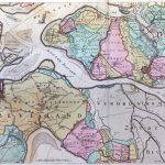
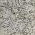
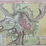
A varied suite of 18th century maps of Holland. A number of the coloured maps are very attractive and artistic. There is an extensive set of maps displaying land owners and polders and also street plans of Amsterdam.
The Historic Atlas section of the lbrowncollection.com collection contains many atlases that include maps of Holland & Luxemburg. This suite of maps greatly augments these atlases.
(Image Full Screen plus Zoom and Pan controls are located in top right of Gallery when opened)