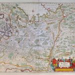
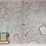
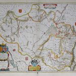
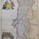
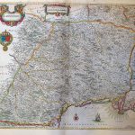
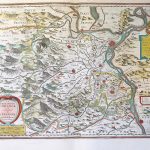
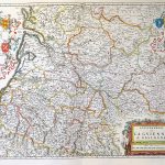
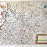
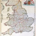
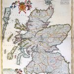
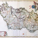
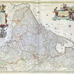
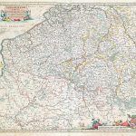
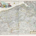
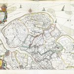
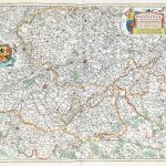
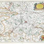
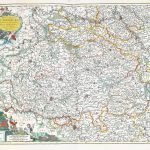
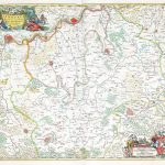
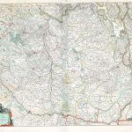
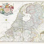
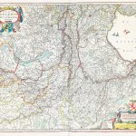
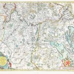
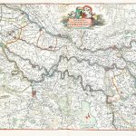
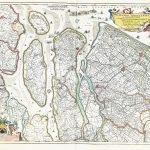
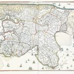
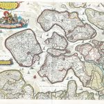
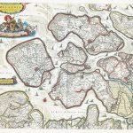
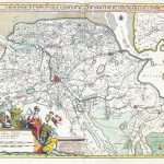
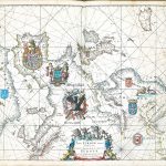
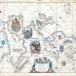
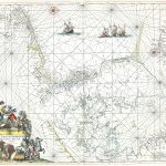
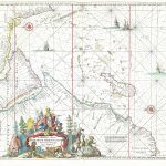
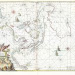
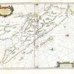
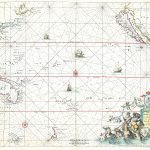
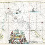
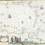
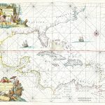
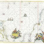
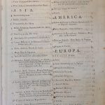
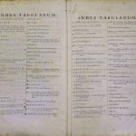
World Atlas Maior Frederik de Wit 1670-Part 2 A-2-37
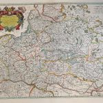
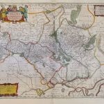
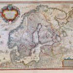
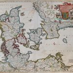
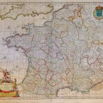
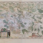
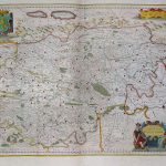
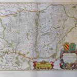
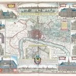
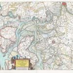
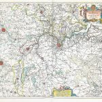
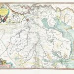
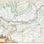
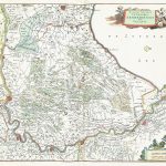
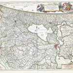
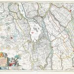
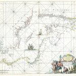
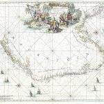
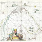
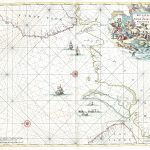
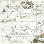
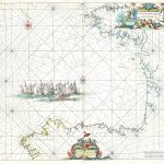
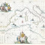
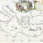
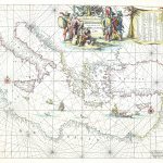
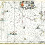
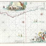
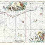
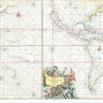
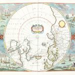
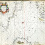
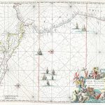
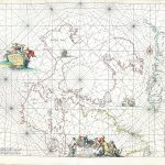
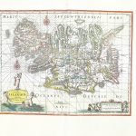
An exceptional atlas by Frederik de Wit 1630-1706 correctly called an Atlas Maior. It includes an extensive suite of maps of the whole world together with a set of charts. Sheet 140 is unique in that it shows Europe rotated through 90 degrees. Sheet 117 of Rome and environs shows much information and is heavily decorated. Sheet 162 the hemisphere covering Antarctica is also beautifully decorated.
(Image Full Screen plus Zoom and Pan controls are located in top right of Gallery when opened)