World Atlas of Charts by Johannes Van Keulan Z-1-17 1696 Part 1 Sheets 1-50
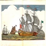
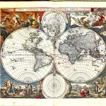
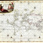
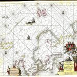
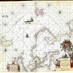
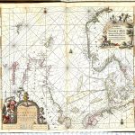
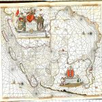
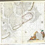
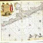
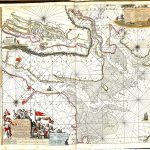
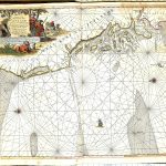
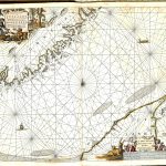
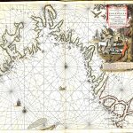
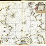
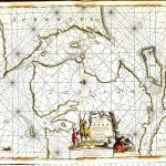
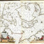
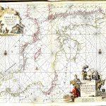
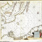
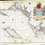
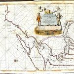
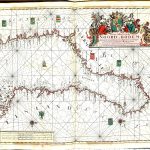
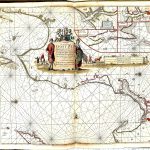
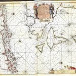
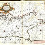
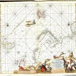
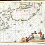
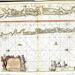
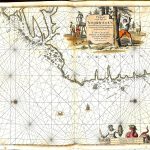
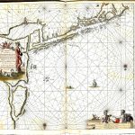
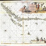
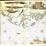
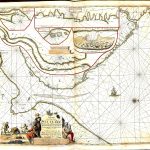
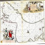
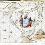
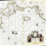
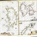
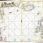
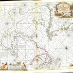
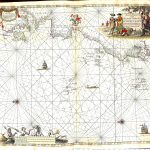
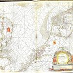
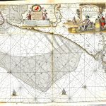
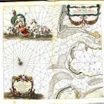
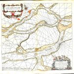
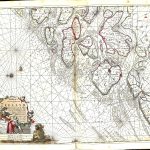
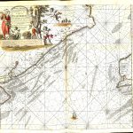
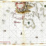
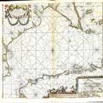
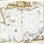
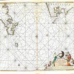
A most important and impressive atlas of charts of the world by Johannes Van Keulan 1635-1689.. The colours are remarkable for charts more than 400 years old. The star map, pictures of sailing ships sets the tone of the atlas. This is enhanced by the frontpiece showing different nationalities surrounding King Neptune and his globe. The cartouches are highly decorative and representative of the area covered by the chart. The text is in Dutch. Extensive soundings information is provided for ports. Unusually, California is shown as an island in sheet 44.
(Image Full Screen plus Zoom and Pan controls are located in top right of Gallery when opened)