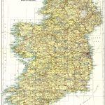
Ireland 1in Topographic Col ABL 1907 Sheets 51 to 100
The first general map of Ireland to be produced entirely from OSI resources. This was enabled by the completion of the major work on the 6in map project. The cartography was of very high quality. The 1in scale maps may even be effectively printed at 2in scale (1/30000). There were versions of the maps with and without hatching. The maps of Irish Geology were produced in 1892. A set of coloured maps were produced in 1907 to increase their popularity.
(Image Full Screen plus Zoom and Pan controls are located in top right of Gallery when opened)
Click any image to open Gallery
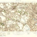
Index Map-OSI 1in Topo Col
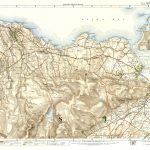
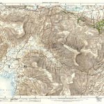
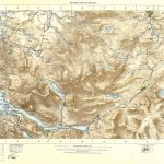
OS -1in Topo Col- 051 pts of39 - 62-Belmullet-Belmullet-Achill
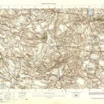
OS -1in Topo Col- 054 pt 42-Coolaney-Sligo Bay
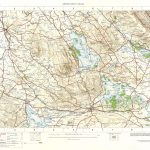
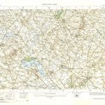
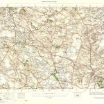
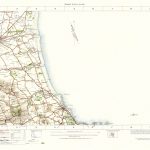
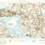
OS -1in Topo Col- 055-Sligo Bay
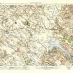
OS -1in Topo Col- 056 LRB-Swanlinbar
OS -1in Topo Col- 056-Swanlinbar
OS -1in Topo Col- 057-Lisnaskea
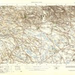
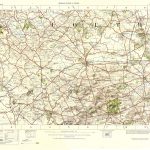
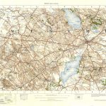
OS -1in Topo Col- 058-Monaghan
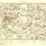
OS -1in Topo Col- 059-Castleblaney
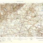
OS -1in Topo Col- 060 Pt 61-Newry
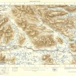
OS -1in Topo Col- 063 Pt 74-Nephin Beg-Westport
OS -1in Topo Col- 064-Ballina
OS -1in Topo Col- 065-Swinford
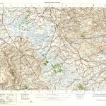
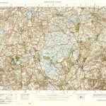
OS -1in Topo Col- 066-Boyle
OS -1in Topo Col- 067-Carrick on Shannon
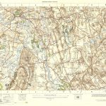
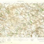
OS -1in Topo Col- 068-Cavan
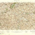
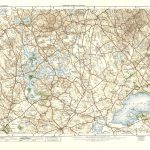
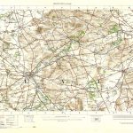
OS -1in Topo Col- 069-Cootehill
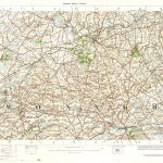
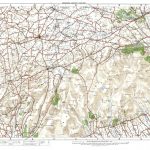
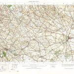
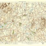
OS -1in Topo Col- 070-Dundalk
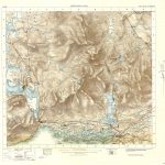
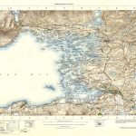
OS -1in Topo Col- 071 pt 72-Carlingford-Sea
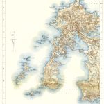
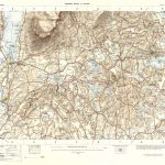
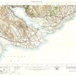
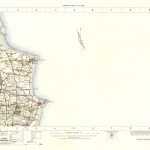
OS -1in Topo Col- 073 pt 62-Achill
OS -1in Topo Col- 074-Westport
OS -1in Topo Col- 075-Castlebar
OS -1in Topo Col- 076 -Ballaghadereen
OS -1in Topo Col- 077-Elphin
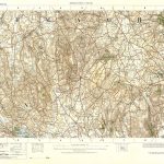
OS -1in Topo Col- 078-Strokestown
OS -1in Topo Col- 079-Granard
OS -1in Topo Col- 080-Ballyjamesduff
OS -1in Topo Col- 081-Ardee
OS -1in Topo Col- 082-Clogher
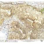
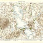
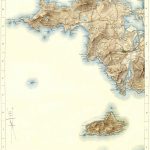
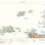
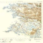
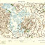
OS -1in Topo Col- 083-Inishbofin
OS -1in Topo Col- 084 pt 83-Killary Harbour-Inishbofin