Municipal Boundary Commission 1880 Part 2 Gilford-Youghal
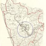
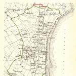
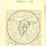
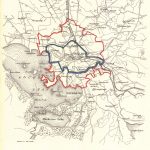
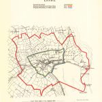
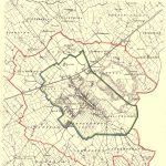
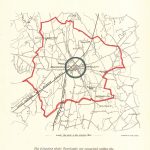
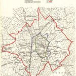
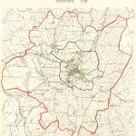
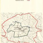
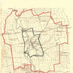
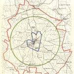
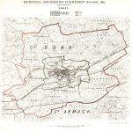
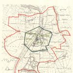
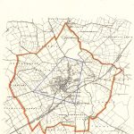
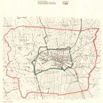
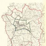
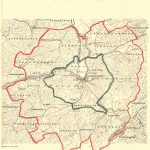
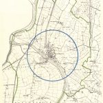
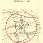
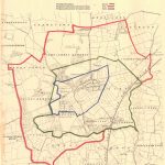
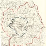
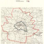
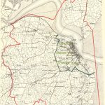
The Municipal Boundary Commission commissioned a survey “to enquire and investigate whether the boundaries of any of the towns and cities require to be extended, limited or otherwise altered. The survey was very extensive and maps for more than 100 towns and cities were produced. The maps were published in 1880. They had a uniform style and were in colour. They were not meant to have the detail of street plans but to show potential boundary changes.
The suite has been divided into 2 parts to make it more convenient to view the maps.
(Image Full Screen plus Zoom and Pan controls are located in top right of Gallery when opened)