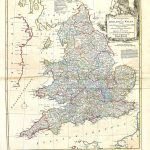
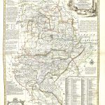
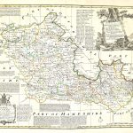
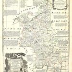
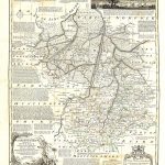
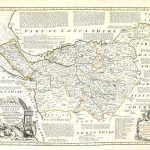
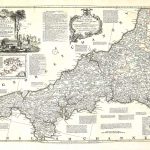
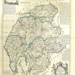
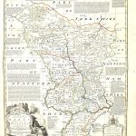
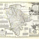
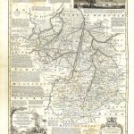
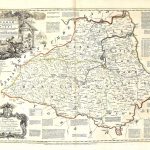
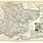
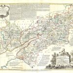
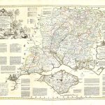
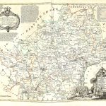
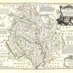
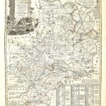
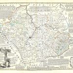
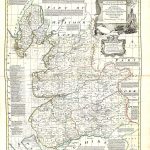
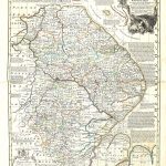
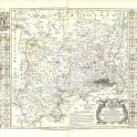
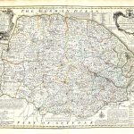
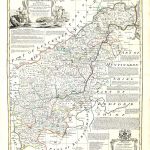
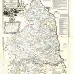
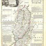
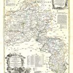
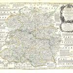
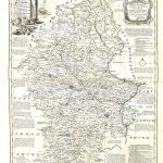
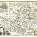
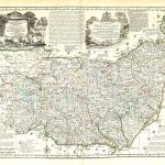
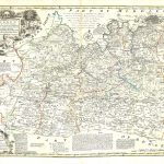
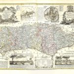
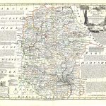
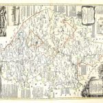
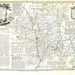
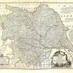
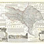
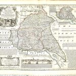
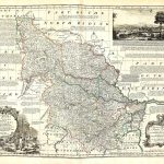
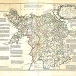
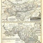
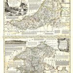
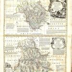
An atlas of maps of England & Wales by Emanuel Bowen 1694-1767. He produced some of the most important maps of the 18th century. He had a reputation for including large amounts of information on the maps. This suite of maps is evidence of his style. The maps are in colour and show the roads in existence at that time. The main cartouche is particularly attractive and the dedication is shown in a separate shield.
(Image Full Screen plus Zoom and Pan controls are located in top right of Gallery when opened)