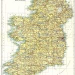
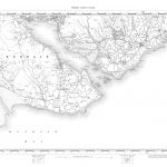
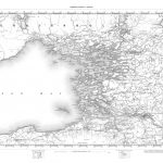
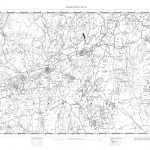
Ireland 1in to one mile Topographic 1862 Part 2 Sheets 51-100
The 1in to one mile maps were the first general maps of Ireland to be produced by the Ordnance Survey entirely from its own resources following on from the major work in producing the 6in map coverage. A version in colour was produced in 1907 in order to improve their popularity thus making them more suitable use by the general population. This version was quite attractive and there were some changes to sheet boundaries. Ireland 1in to one mile
(Image Full Screen plus Zoom and Pan controls are located in top right of Gallery when opened)