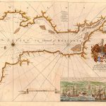
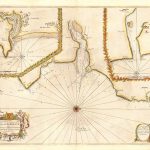
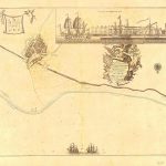
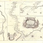
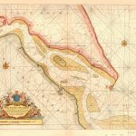
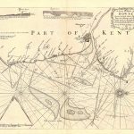
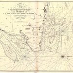
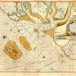
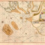
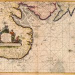
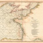
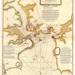
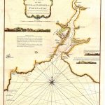
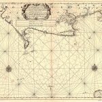
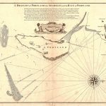
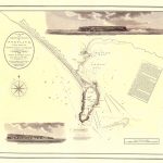
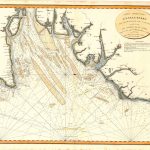
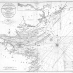
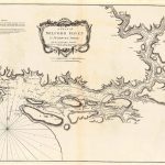
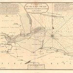
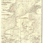
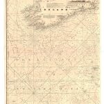
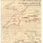
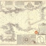
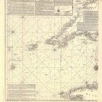
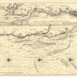
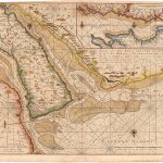
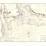
This suite of maps and charts augments the complete set of British & Irish charts included in The Costal Pilot by Greenville Collins. There are charts by various mapmakers ibot mono and colour.
(Image Full Screen plus Zoom and Pan controls are located in top right of Gallery when opened)