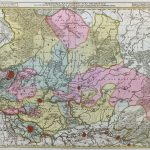
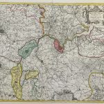
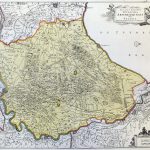
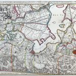
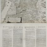
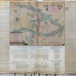
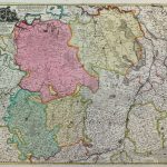
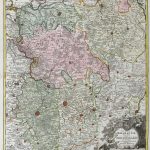
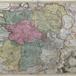
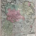
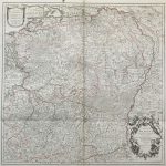
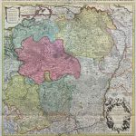
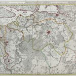
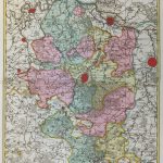
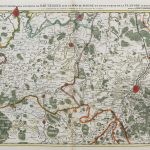
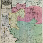
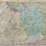
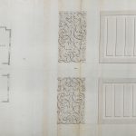
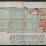
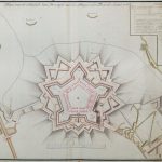
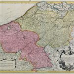
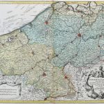
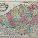
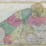
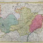
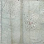
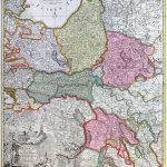
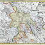
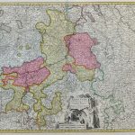
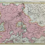
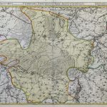
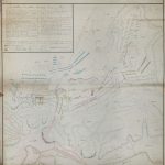
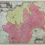
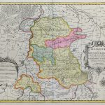
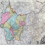
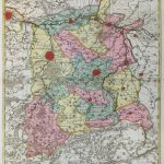
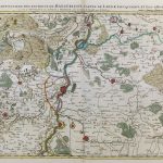
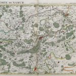
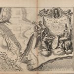
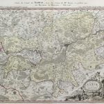
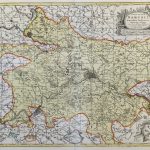
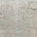
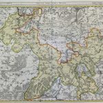
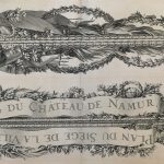
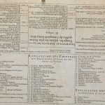
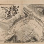
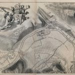
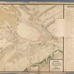
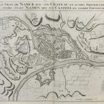
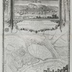
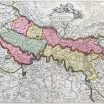
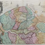
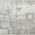
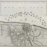
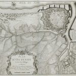
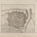
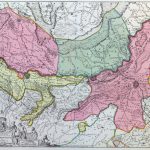
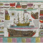
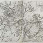
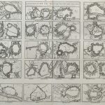
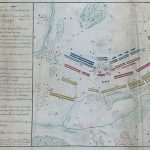
A varied suite of 18th century maps, building plans and various subjects such as shipbuilding details. There are many town plans and charts.
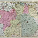
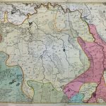
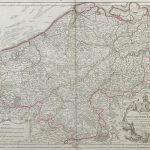
The Historic Atlas section of the lbrowncollection.com collection contains many atlases that include maps of Belgium. This suite of maps greatly augments these atlases.
(Image Full Screen plus Zoom and Pan controls are located in top right of Gallery when opened)