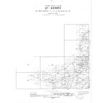
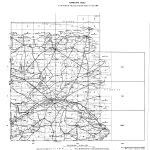
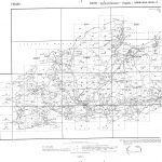
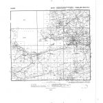
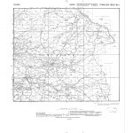
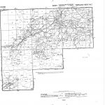
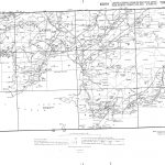
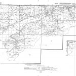
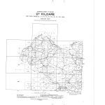
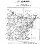
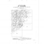
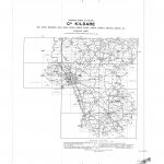
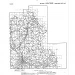
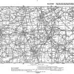
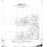
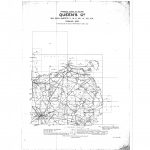
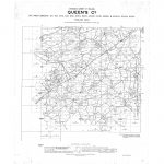
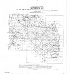
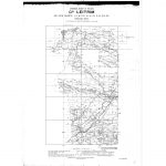
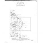
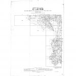
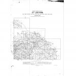
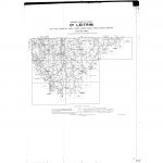
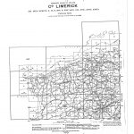
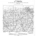
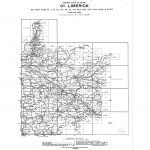
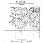
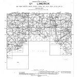
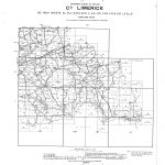
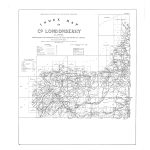
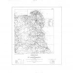
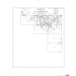
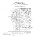
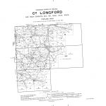
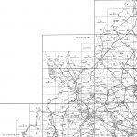
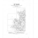
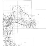
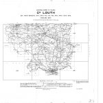
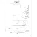
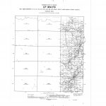
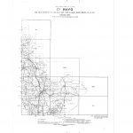
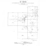
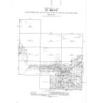
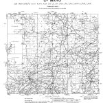
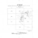
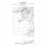
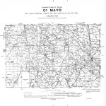
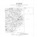
The townland index maps are the most concise mapping displaying townland boundaries. The maps also show the 6in to one mile and 25in to one mile map indexes. This is important in the case of the 25 in mapping as there are approx 25000 sheets covering the country. The townland index maps also include baronies, rural and urban districts and county boroughs. Topographic information includes roads, railways, major rivers, cities & towns and public buildings.
(Image Full Screen plus Zoom and Pan controls are located in top right of Gallery when opened)