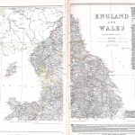
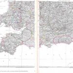
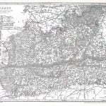
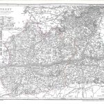
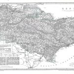
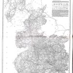
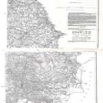
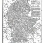
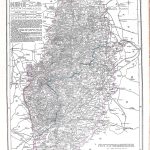
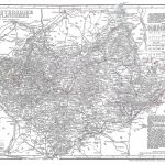
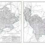
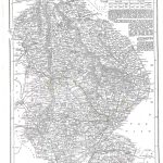
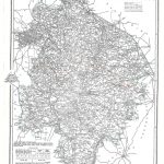
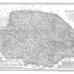
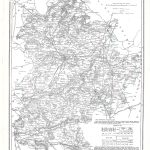
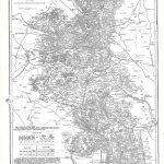
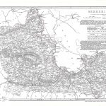
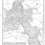
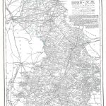
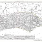
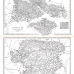
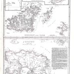
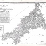
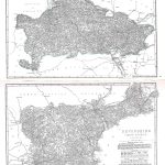
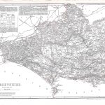
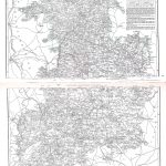
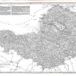
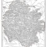
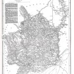
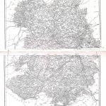
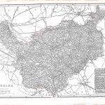
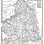
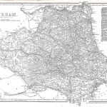
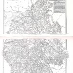
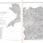
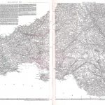
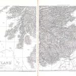
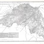
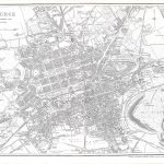
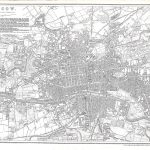
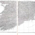
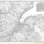
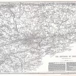
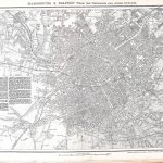
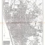
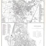
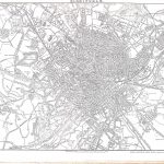
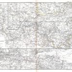
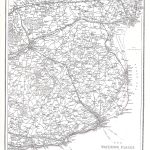
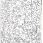
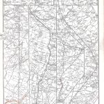
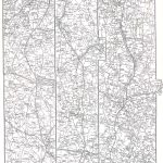
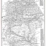
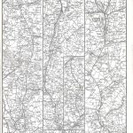
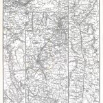
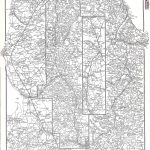
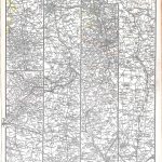
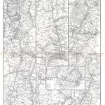
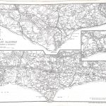
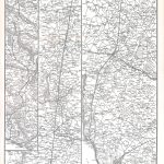
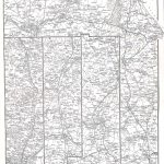
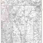
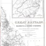
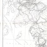
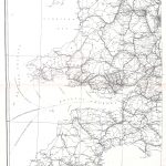
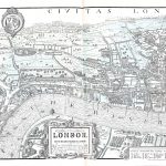
A extensive suite of maps of Britain & Ireland by John Cassell 1817-1865. These are “modern style” maps containing much information in an attractive layout. A set of British counties is augmented by an important set of maps of British railways.
(Image Full Screen plus Zoom and Pan controls are located in top right of Gallery when opened)