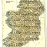
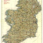
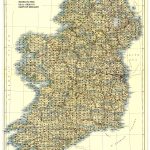
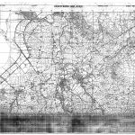
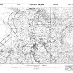
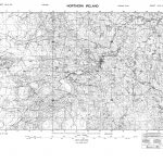
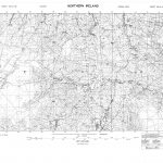
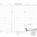
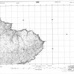
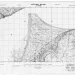
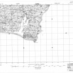
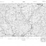
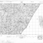
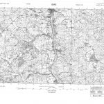
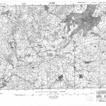
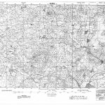
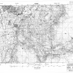
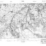
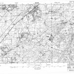
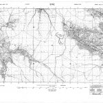
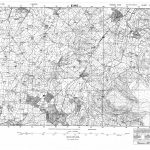
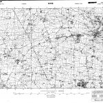
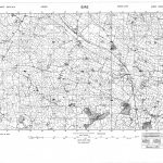
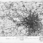
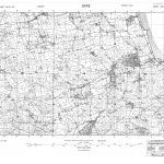
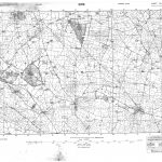
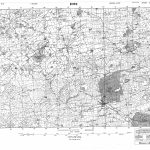
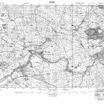
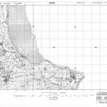
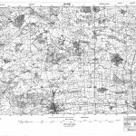
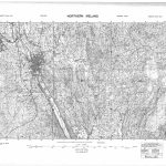
Ireland-GSGS-3906 125000 1940 Part 10 26-41-NE to 29-33-SW
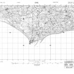
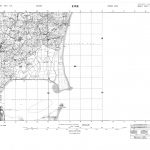
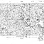
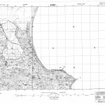
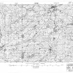
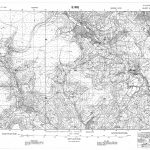
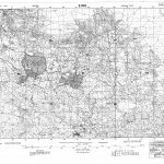
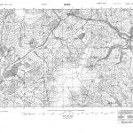
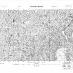
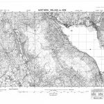
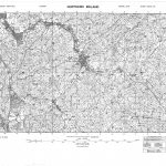
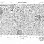
The GSGS3906 (Geographic Section General Staff) 1:25000 topographic maps were produced by the British Army. The basis of the mapping was the 6in to one mile topographic maps 1907 edition. The maps provide correct cartography and are thus continuous across county boundaries. The Irish National Grid is included in the maps. The mapping was reduced to 1:25000 and the smaller sheet size was more convenient to use although the legibility was reduced. The sheets can be printed at a scale of 1:15000 thus producing a very legible map. Index maps for the GSGS3906 maps and the 6in to one mile maps are provided and also an combined index maps of the GSGS3906, 6in and 1in maps. This latter index map, although confusing to read, provides a link between the three map scales.
(Image Full Screen plus Zoom and Pan controls are located in top right of Gallery when opened)