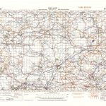
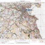
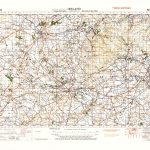
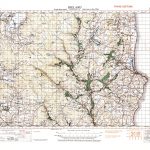
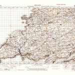
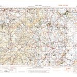
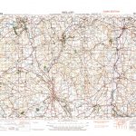
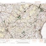
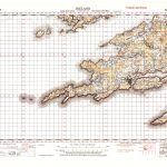
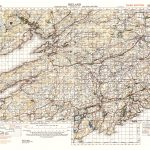
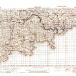
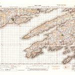
Ireland GSGS 4610 Topographic Maps1in to one mile Part 2 North Sheets 340-376
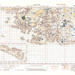
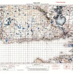
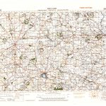
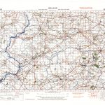
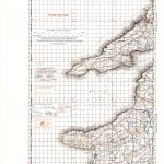
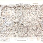
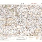
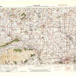
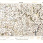
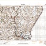
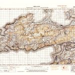
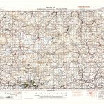
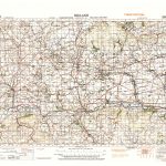
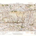
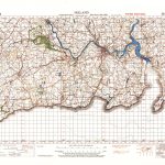
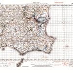
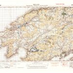
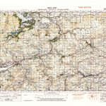
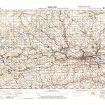
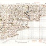
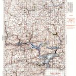
A suite of maps of Ireland produced by the British Army during the 2nd World War under the auspices of GSGS, the Geographic Section General Staff. The maps are of large size, 90×65 cm and only 76 are required to cover the whole country. The colouring is striking with strong reds and purples, not usual cartographic colours. Index maps for the whole island and for the north and south parts are included to assist in locating a particular sheet.
The suite has been divided into 2 parts to make it more convenient to view the maps.
(Image Full Screen plus Zoom and Pan controls are located in top right of Gallery when opened)