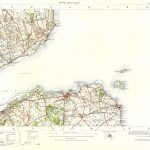
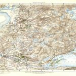
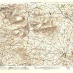
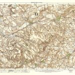
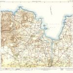
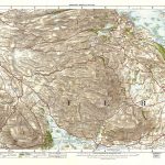
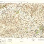
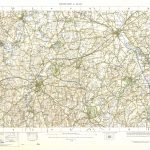
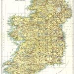
Ireland 1in Topographic Col ABL 1907 Sheets 1 to 50
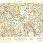
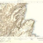
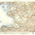
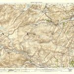
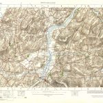
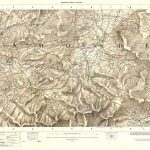
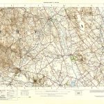
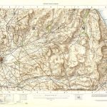
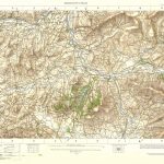
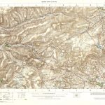
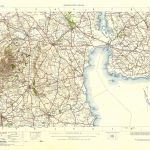
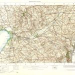
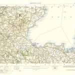
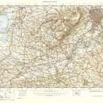
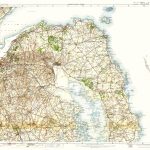
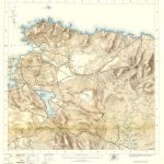
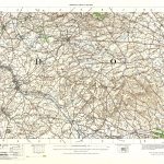
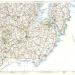
The first general map of Ireland to be produced entirely from OSI resources. This was enabled by the completion of the major work on the 6in map project. The cartography was of very high quality. The 1in scale maps may even be effectively printed at 2in scale (1/30000). There were versions of the maps with and without hatching. The maps of Irish Geology were produced in 1892. A set of coloured maps were produced in 1907 to increase their popularity.
(Image Full Screen plus Zoom and Pan controls are located in top right of Gallery when opened)
Click any image to open Gallery
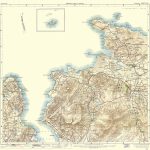
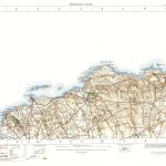
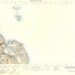
OS -1in Topo Col- 001-5-Malin Head-Carndonagh
OS -1in Topo Col- 002 - 6-Malin Head-Moville
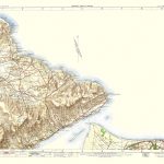
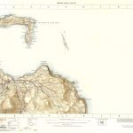
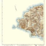
OS -1in Topo Col- 003 9 pt 15-Tory Island-Gweedore
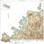
OS -1in Topo Col- 004 - 10-Dunfanaghy-Gweedore
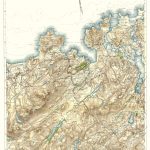
OS -1in Topo Col- 007-Giants Causeway
OS -1in Topo Col- 008-Ballycastle
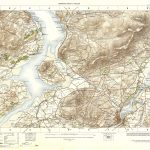
OS -1in Topo Col- 011-Londonderry
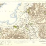
OS -1in Topo Col- 012-Limavady
OS -1in Topo Col- 013-Coleraine
OS -1in Topo Col- 014-Cushendall
OS -1in Topo Col- 015-Dungloe
OS -1in Topo Col- 016-Letterkenny
OS -1in Topo Col- 017-Strabane
OS -1in Topo Col- 018-Dungiven
OS -1in Topo Col- 019-Maghera
OS -1in Topo Col- 020-Ballymena
OS -1in Topo Col- 021-Larne
OS -1in Topo Col- 022 pt 30-Glenbay-Kilcar
OS -1in Topo Col- 023 pt 31-Ardara-Donegal Bay
OS -1in Topo Col- 024-Donegal
OS -1in Topo Col- 025-Newtown Stewart
OS -1in Topo Col- 026-Draperstown
OS -1in Topo Col- 027-Cookstown
OS -1in Topo Col- 028-Antrim
OS -1in Topo Col- 029-Carrickfergus
OS -1in Topo Col- 032 - Pt 31-Donegal Bay-Pettigoe
OS -1in Topo Col- 033-Omagh
OS -1in Topo Col- 034-Ballygawley
OS -1in Topo Col- 035-Dungannon
OS -1in Topo Col- 036-Belfast
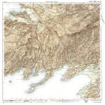
OS -1in Topo Col- 037 38 Pt 29-Newtown Ards-Ards Coast-Carrickfergus
OS -1in Topo Col- 040 - 52-Benwee Head-Bangor
OS -1in Topo Col- 041 - 53-Downpatrick Head-Killala
OS -1in Topo Col- 043 Pt 31 - 42-Donegal Bay-Sligo Bay
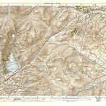
OS -1in Topo Col- 044-Derrygonnelly
OS -1in Topo Col- 046-Clogher
OS -1in Topo Col- 047-Armagh
OS -1in Topo Col- 048-Banbridge
OS -1in Topo Col- 049,50 - Pt 61-Downpatrick-Downpatrick-Downpatrick