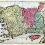
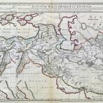
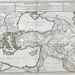
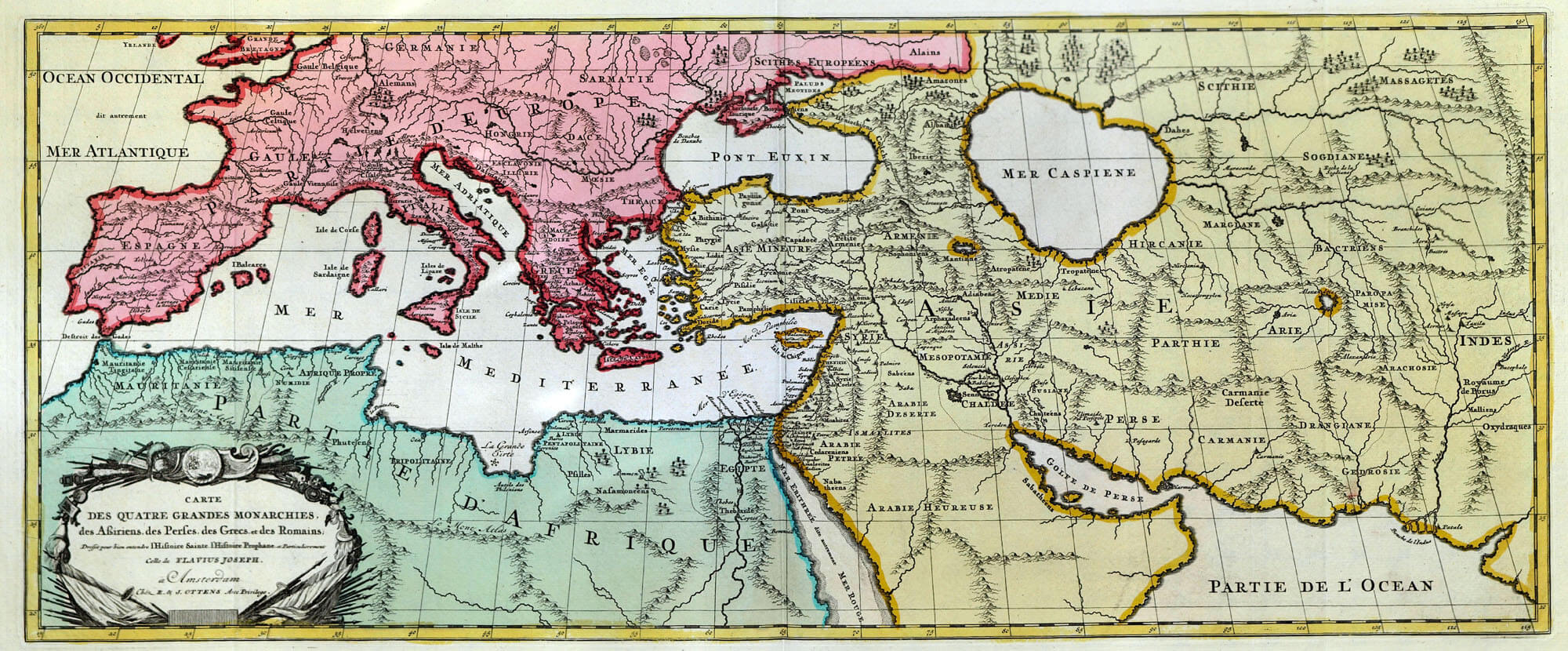
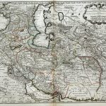
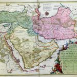
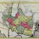
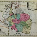
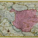
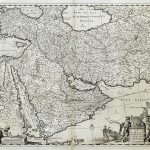
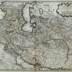
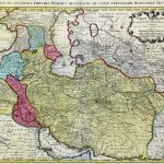
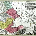
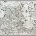
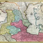
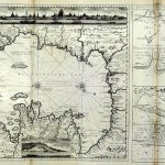
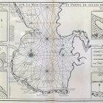
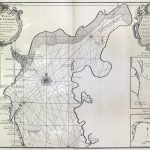
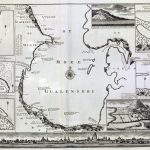
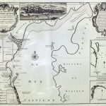
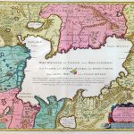
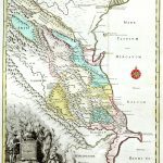
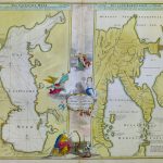
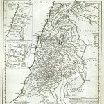
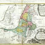
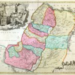
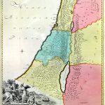
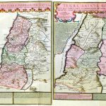
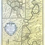
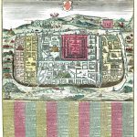
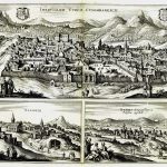
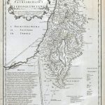
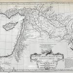
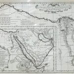
A suite of 18th century maps by important mapmakers covering a wide area of the Near and Middle East, Tukey, Palestine and Persia. The maps of Palestine augment the two biblical atlases in the atlas section of the L Brown Collection. Many of the maps include decorative cartouches of high quality. There is an interesting map displaying the expeditions of Alexander the Great.
(Image Full Screen plus Zoom and Pan controls are located in top right of Gallery when opened)