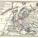
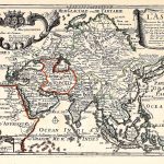
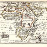
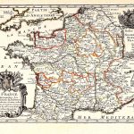
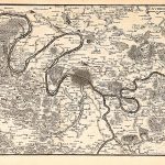
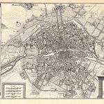
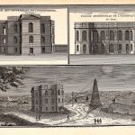
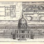
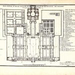
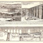
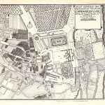
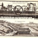
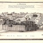
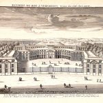
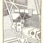
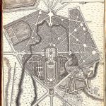
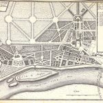
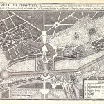
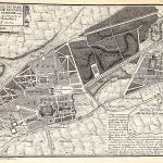
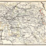
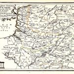
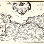
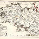
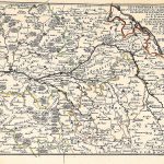
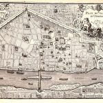
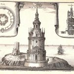
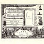
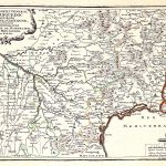
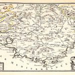
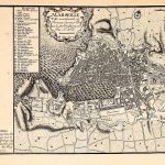
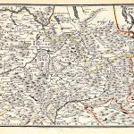
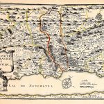
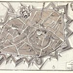
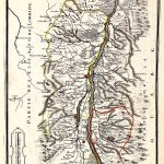
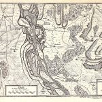
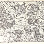
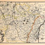
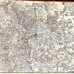
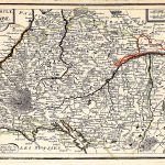
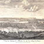
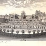
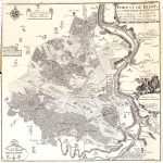
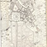
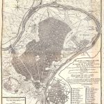
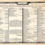
A set of 2 atlases by the renowned French mapmaker Nicolas de Fer 1646-1720. The 1st atlas covers France and the 2nd covers Europe and the rest of the world. The maps are most attractive with plenty of colour and much 17th century information. This volume includes maps, public buildings and public works. There are also Star and Astronomical Charts.
(Image Full Screen plus Zoom and Pan controls are located in top right of Gallery when opened)