Worldwide Maps-Asia East Indies-Fag-19 Part 2 Maps 41-70
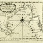
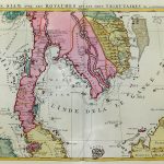
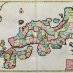
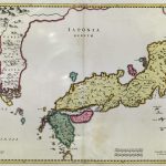
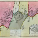
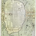
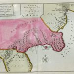
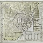
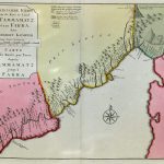
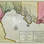
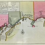
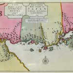
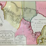
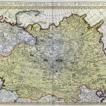
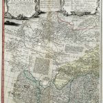
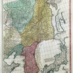
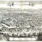
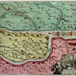
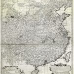
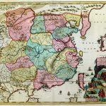
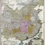
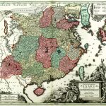
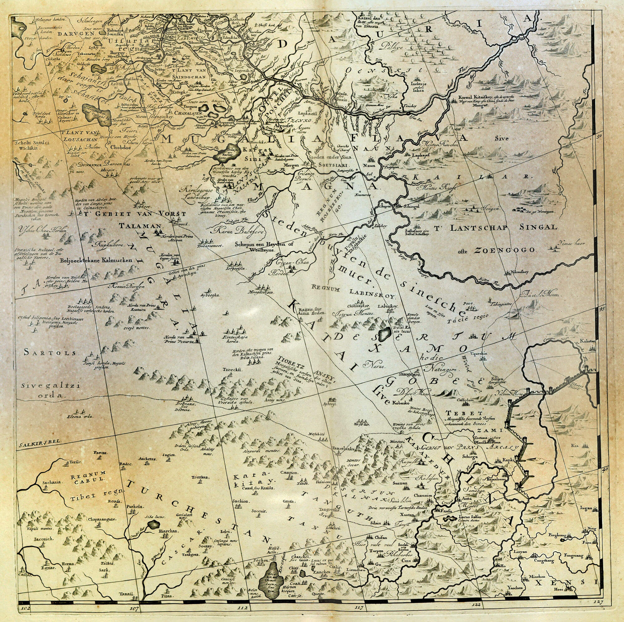
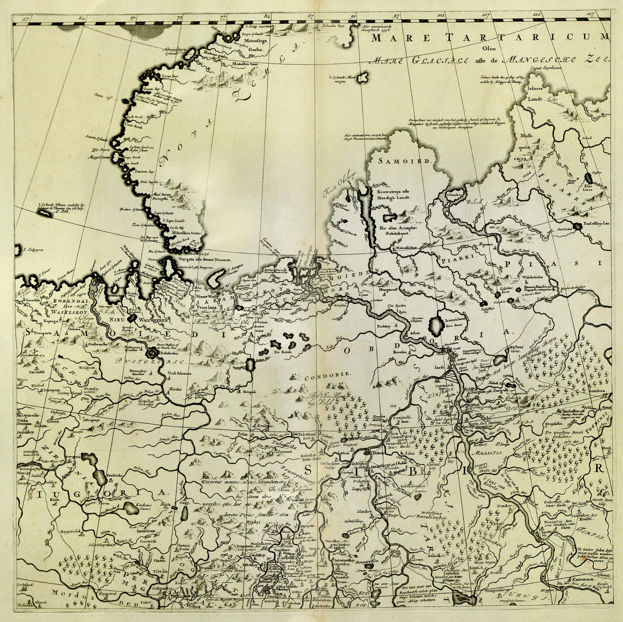
A suite of 18th century maps including Asia, the Indian sub continent and extending through the East Indies, Japan and China. There are maps by many important mapmakers including De L’Isle and Homan and some less well known mapmakers such as Valentyn and Seutter. The maps are very varied in the sreas covered for example maps of India and of Ceylon.
The suite has been divided into 2 parts to make it more convenient to view the maps.
(Image Full Screen plus Zoom and Pan controls are located in top right of Gallery when opened)
To purchase a digital print of any map click this text – BUY A MAP
TO PURCHASE A PRINTED MAP
2
MAKE PAYMENT
Invoice Will Be Emailed
Pay online or
by Bank Transfer
3
RECEIVE MAP
Map Will Be Printed
And Sent To You By Post
Within One Week
MAP SIZES AND PRICING
Note* Original maps in the collection for print are of a much larger size
and higher visual quality than the reduced file size copies uploaded to this website.
Size Tax Shipping
Price in Euro’s includes Vat Tax at 13.5%
Price includes post and packaging (shipping)
Maps can also be produced at any size
Custom Size Prices on request
60x40cm or 24x16in
Send to Ireland – €65
Send to Uk, Europe – €65
Send to USA – €69
90x70cm or 36x28in
Send to Ireland – €85
Send to Uk, Europe – €110
Send to USA – €110