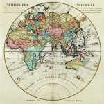
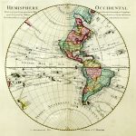
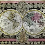
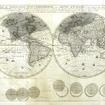
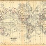
Maps of the Whole World 15th to the 19th centuries
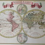
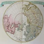
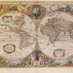
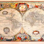
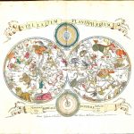
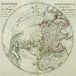
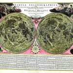
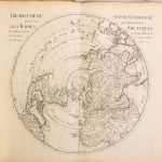
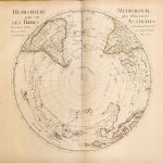
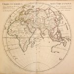
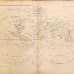
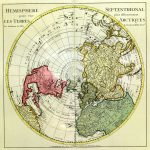
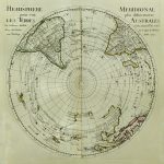
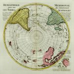
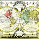
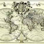
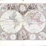
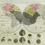
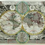
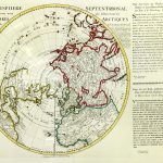
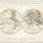
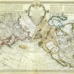
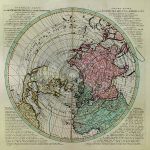
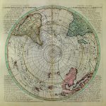
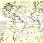
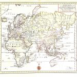
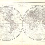
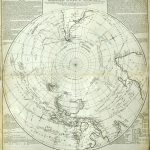
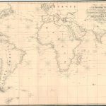
A unique suite of historic maps of the World showing the development of geographic and cartographic knowledge through 5 centuries. The maps were produced in different formats and projections. There are examples of maps by many of the most famous mapmakers including Mercator, Ortelius, Speed, Homan, Jaillot, de Fer and de L’Isle and two versions of the famous World map based on the work of Ptolomy around 100AD. There are also charts by Colom and van Keulan and astronomical and astrological maps.
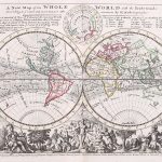
Many maps display significant aesthetic and artistic qualities. The decoration embellishing the maps are of very high quality. Many maps may be considered as works of art.
(Image Full Screen plus Zoom and Pan controls are located in top right of Gallery when opened)
Click any image to open Gallery
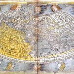
1477-World-C Ptolomy-DD-aa-10-01
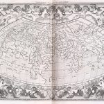
1579-World-Abraham Ortelius-M-aa-9-01
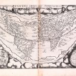
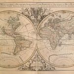
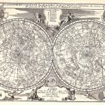
1619-Peter Bertius-Ptolomy-A-2-19-01
1627-World-John Speed-P-a-12-008 - Copy
1627-World-John Speed-P-a-12-008
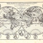
1650-World-Thomas Fuller-A-3-9-02
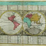
1650-World-Thomas Fuller-Isaac Tirion-A-3-9-01
1666-World Johannes Jannson-A-1-38-03
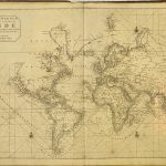
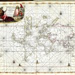
1668-World Chart-Jacob Colom-Z-1-18-01
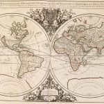
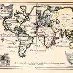
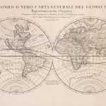
1689-World-Hubert Jaillot-A-1-65-002
1693-World-Hubert Jaillot-A-1-70-01
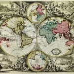
1696-World-Hubert Jaillot-A-1-72-03
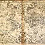
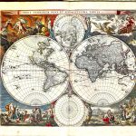
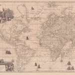
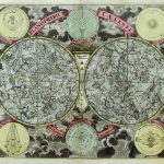
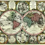
1697 World Charts Gerard van Keulan-Z-1-17-003-World( 4 hemispheres)