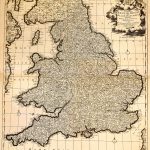
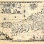
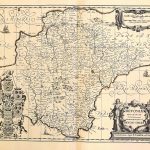
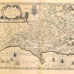
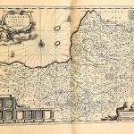
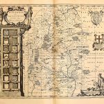
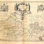
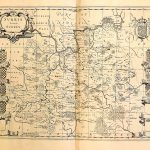
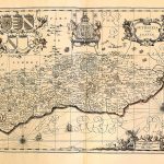
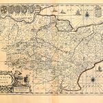
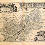
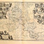
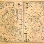
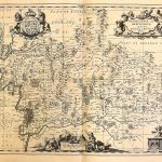
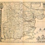
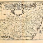
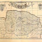
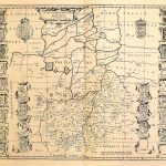
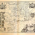
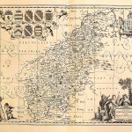
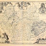
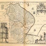
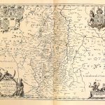
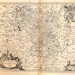
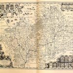
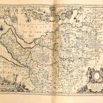
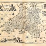
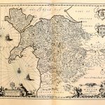
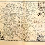
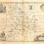
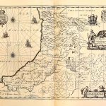
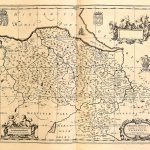
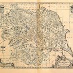
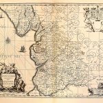
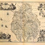
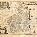
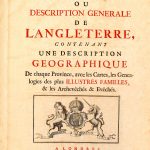
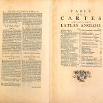
An important early 18th century atlas of England & Wales by the French mapmaker Peter Mortier. There is no road network but all towns and villages are included. Also included are coat of arms of landed gentry families. The cartouches are very artistic.
(Image Full Screen plus Zoom and Pan controls are located in top right of Gallery when opened)