World Atlas Maior Frederik de Wit 1670-Part 1 A-2-37
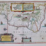
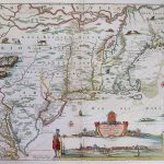
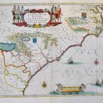
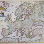
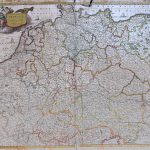
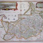
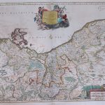
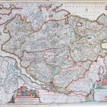
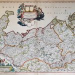
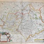
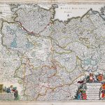
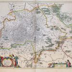
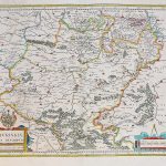
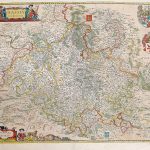
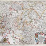
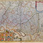
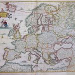
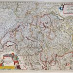
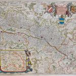
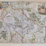
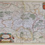
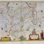
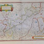
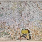
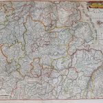
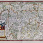
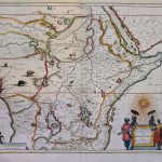
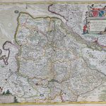
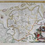
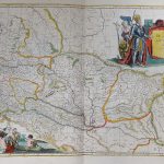
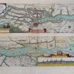
An exceptional atlas by Frederik de Wit 1630-1706 correctly called an Atlas Maior. It includes an extensive suite of maps of the whole world together with a set of charts.The colour is remarkable and the cartouches and additional decoration are most artistic. A fine set of maps of Holland show land boundaries.
(Image Full Screen plus Zoom and Pan controls are located in top right of Gallery when opened)
Click any image to open Gallery
A-2-37-001-World
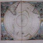
A-2-37-002-S Hemisphere
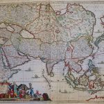
A-2-37-003-Asia
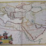
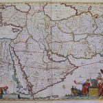
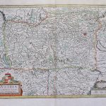
A-2-37-004-Turcicum Imperium
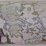
A-2-37-005-Greece
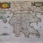
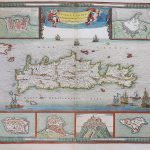
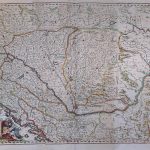
A-2-37-006-Graecia universa
A-2-37-007-America
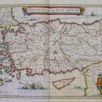
A-2-37-008-Natolia quae Asia Minor
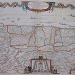
A-2-37-009-Terra Sancta, sive promissionis, olim Palestina
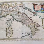
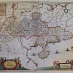
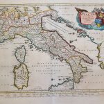
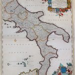
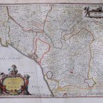
A-2-37-010-Italy
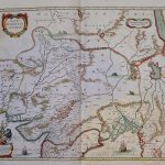
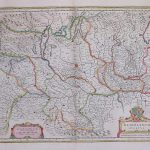
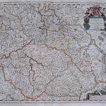
A-2-37-011-Persia, Armenia, Caspia, Natolia
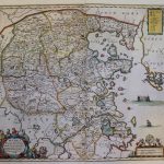
A-2-37-012-Magni Mogolis Imperium
A-2-37-013-East Indies
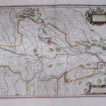
A-2-37-014-Huquang
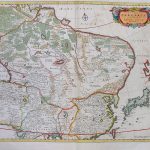
A-2-37-015-Pecheli
A-2-37-016-Junan
A-2-37-017-Suchuen etc
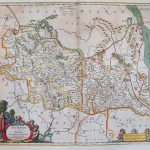
A-2-37-018-Tartaria
A-2-37-019-Japan
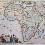
A-2-37-020-Africa
A-2-37-021-Aethiopia Inferior
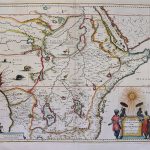
A-2-37-022-Aethiopia Superior
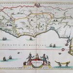
A-2-37-023-Guinea
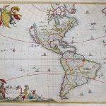
A-2-37-024-America
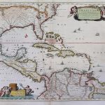
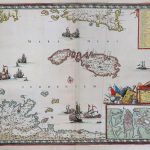
A-2-37-025-Insulae Americanae in Oceano Septrionale