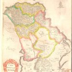
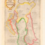
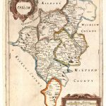
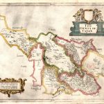
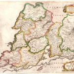
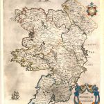
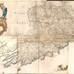
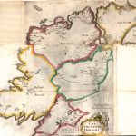
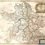
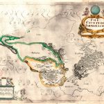
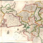
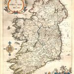
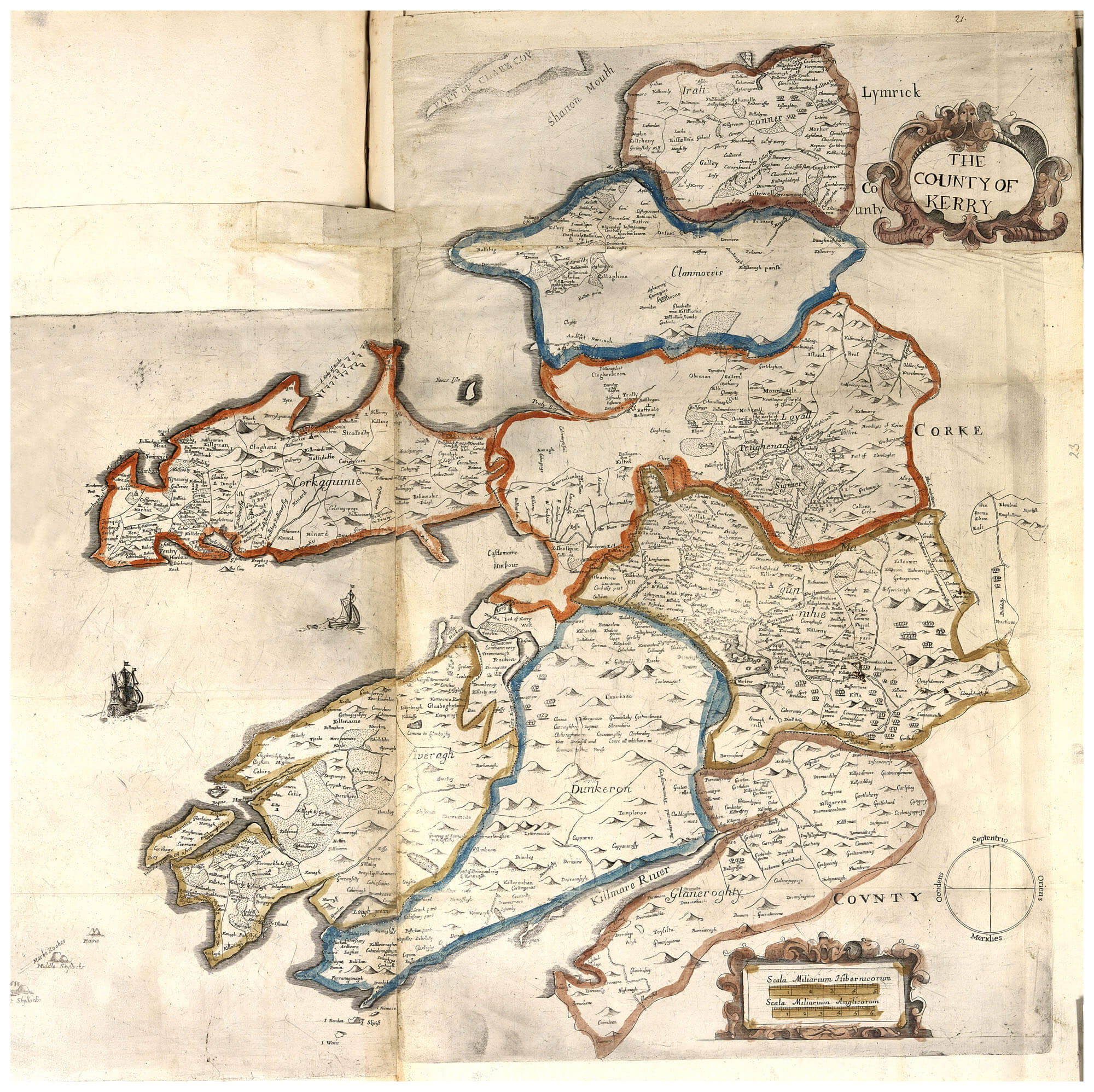
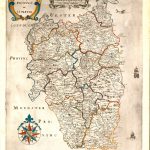
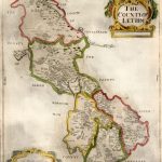
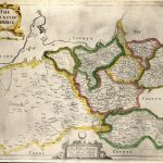
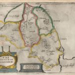
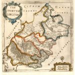
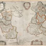
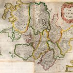
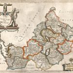
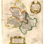
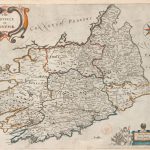
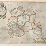
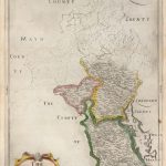
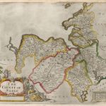
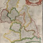
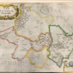
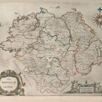
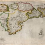
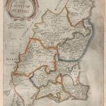
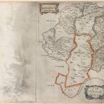
This is the first edition of the definitive maps by Sir William Petty 1623-1687 produced from work on the Down Survey. This suite were issued almost 30 years before the 1683 edition of black & white maps, probably due to some publication problems. The suite includes maps of provinces and a map of Ireland. This was the first map of Ireland showing the correct coastline. Maps prior to this did not show Connemara. The map of Roscommon shows names in the southern part of the county. This was normal in all editions of the “Petty” maps. The L Brown Collection includes a map of Roscommon showing names for the whole county.The maps are in colour which makes them quite attractive. The county names in the simple cartouche are irregular compared with later editions of these maps.
(Image Full Screen plus Zoom and Pan controls are located in top right of Gallery when opened)