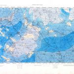
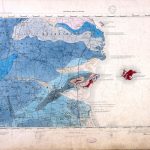
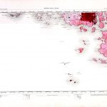
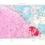
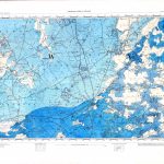
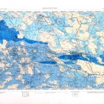
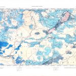
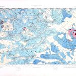
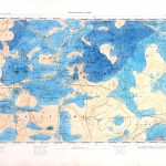
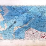
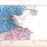
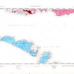
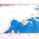
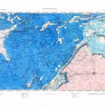
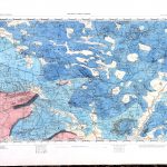
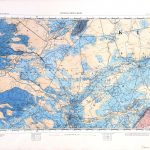
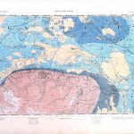
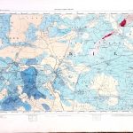
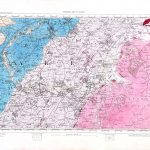
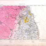
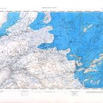
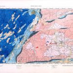
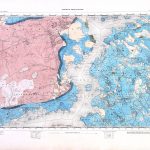
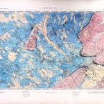
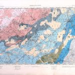
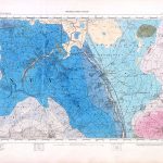
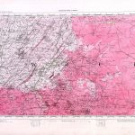
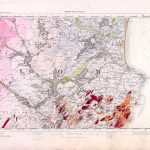
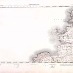
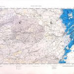
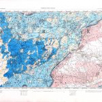
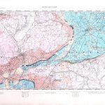
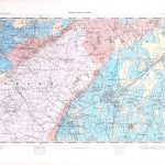
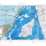
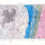
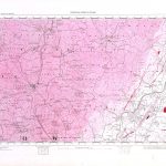
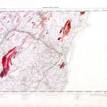
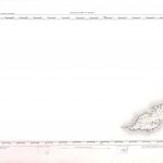
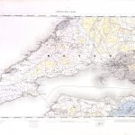
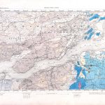
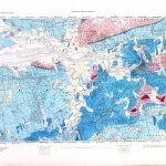
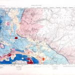
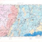
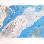
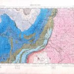
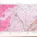
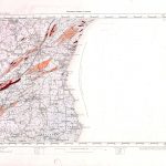
Ireland 1in to one mile Topographic Geological 1859-1890 Part 3 Sheets 101-150
The 1in to one mile maps were the first general maps of Ireland to be produced by the Ordnance Survey entirely from its own resources following on from the major work in producing the 6in map coverage. A version including geological information was produced between 1859 and 1890.
(Image Full Screen plus Zoom and Pan controls are located in top right of Gallery when opened)
To purchase a digital print of any map click this text – BUY A MAP
TO PURCHASE A PRINTED MAP
2
MAKE PAYMENT
Invoice Will Be Emailed
Pay online or
by Bank Transfer
3
RECEIVE MAP
Map Will Be Printed
And Sent To You By Post
Within One Week
MAP SIZES AND PRICING
Note* Original maps in the collection for print are of a much larger size
and higher visual quality than the reduced file size copies uploaded to this website.
Size Tax Shipping
Price in Euro’s includes Vat Tax at 13.5%
Price includes post and packaging (shipping)
Maps can also be produced at any size
Custom Size Prices on request
60x40cm or 24x16in
Send to Ireland – €65
Send to Uk, Europe – €65
Send to USA – €69
90x70cm or 36x28in
Send to Ireland – €85
Send to Uk, Europe – €110
Send to USA – €110