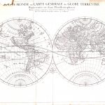
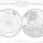
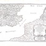
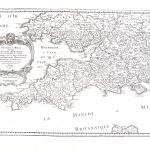
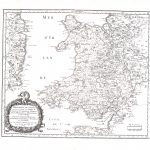
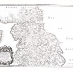
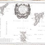
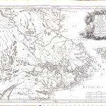
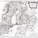
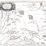
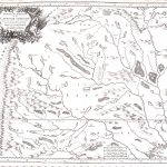
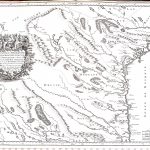
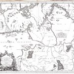
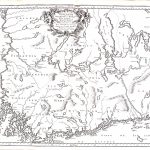
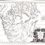
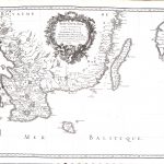
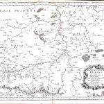
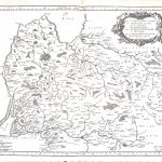
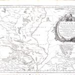
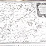
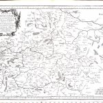
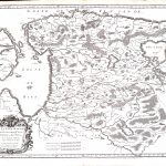
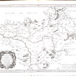
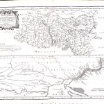
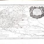
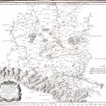
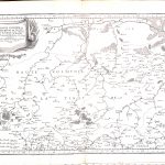
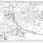
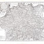
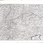
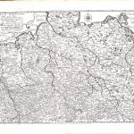
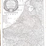
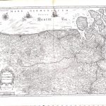
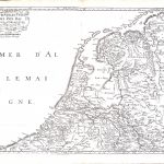
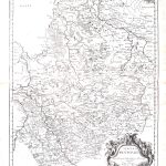
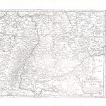
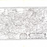
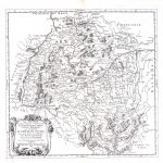
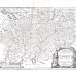
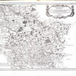
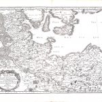
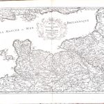
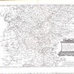
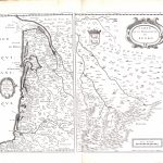
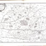
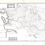
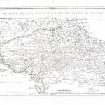
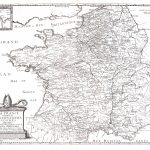
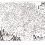
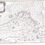
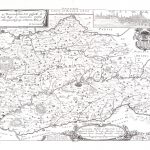
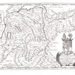
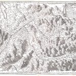
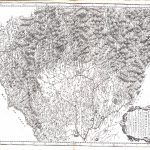
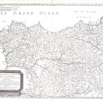
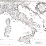
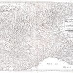
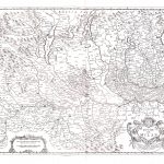
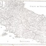
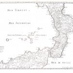
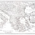
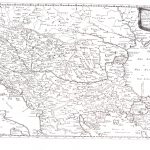
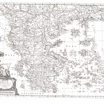
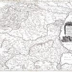
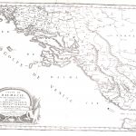
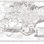
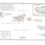
World Atlas Vol 1 Nicolas Sanson 1670-M-aa-20 Europe-France-Germany-Italy
A most important set of 2 atlases by Nicolas Sanson 1600-1699. They contain a major suite of maps of France including Postal Routes and maps of French rivers. There are maps of Lituania and Latvia (Curland). Sanson was very much the father of French cartography and produced an extensive body of work.
(Image Full Screen plus Zoom and Pan controls are located in top right of Gallery when opened)
To purchase a digital print of any map click this text – BUY A MAP
TO PURCHASE A PRINTED MAP
2
MAKE PAYMENT
Invoice Will Be Emailed
Pay online or
by Bank Transfer
3
RECEIVE MAP
Map Will Be Printed
And Sent To You By Post
Within One Week
MAP SIZES AND PRICING
Note* Original maps in the collection for print are of a much larger size
and higher visual quality than the reduced file size copies uploaded to this website.
Size Tax Shipping
Price in Euro’s includes Vat Tax at 9%
Price includes post and packaging (shipping)
Maps can be produced up to 250x100cm or 100x40in
Custom Size Prices on request
60x40cm or 24x16in
Send to Ireland – €59
Send to Uk, Europe – €59
Send to USA – €59
90x70cm or 36x28in
Send to Ireland – €79
Send to Uk, Europe – €99
Send to USA – €99