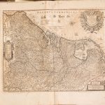
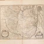
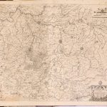
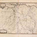
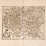
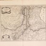
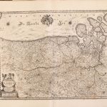
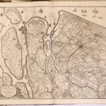
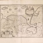
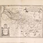
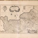
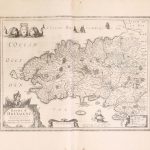
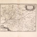
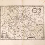
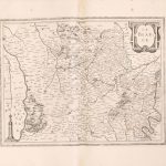
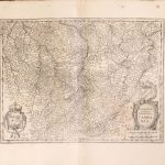
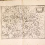
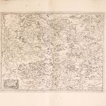
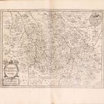
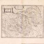
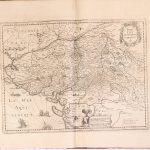
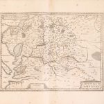
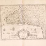
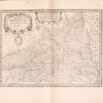
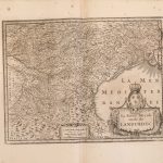
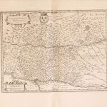
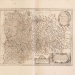
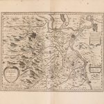
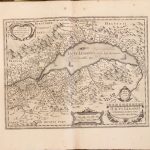
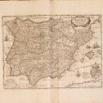
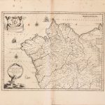
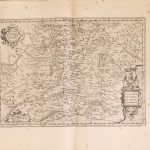
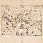
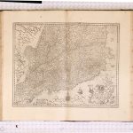
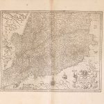
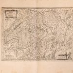
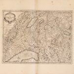
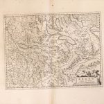
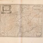
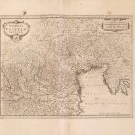
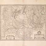
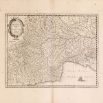
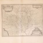
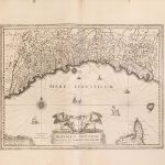
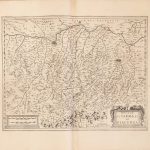
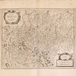
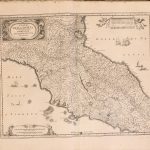
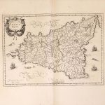
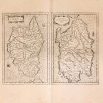
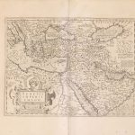
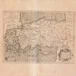
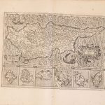
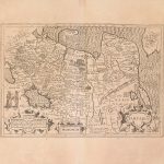
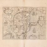
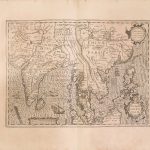
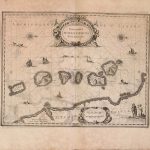
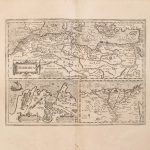
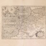
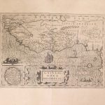
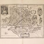
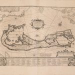
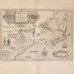
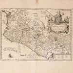
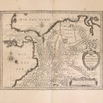
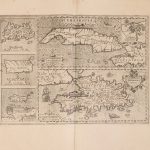
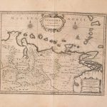
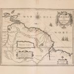
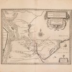
World Vol 2 Mercator 1641-Europe-France-World-V-aa-5
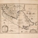
An extensive suite of world maps by Gerard Mercator 1512 -1594. He was a most accomplished mapmaker and inventor of the Mercator Projection system of displaying maps accurately. The term “Atlas” comes from a picture on the frontpiece of the atlas showing the world on the shoulders of Atlas. The atlas was first published in 1585 and so shows how the world was depicted at the end of the 16th century. Vol 2 includes maps of Europe, France, Spain, Portugal and the rest of the world.
(Image Full Screen plus Zoom and Pan controls are located in top right of Gallery when opened)