Ireland & Counties-John Grierson-1732-A-2
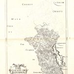
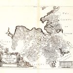
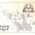
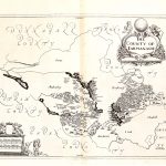
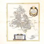
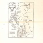
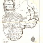
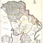
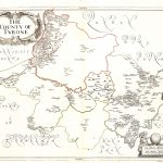
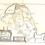
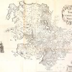
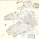
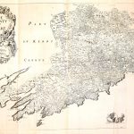
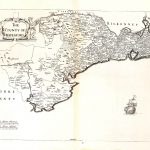
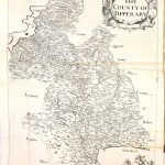
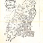
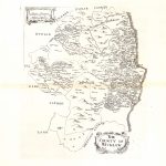
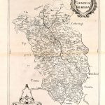
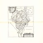
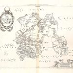
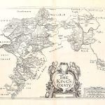
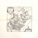
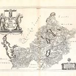
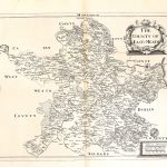
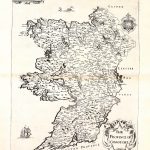
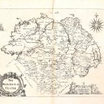
An atlas of maps which were an enhancement to the 1st edition of the county maps by Sir William Petty 1685.
The mapmaker was John Grierson 1680-1789. He was the founder of a famous family of mapmakers. The maps have been enhanced with colour to good effect. They are the same as the maps by Petty except that the county names have been enhanced. The maps of the larger counties of Cork, Kerry, Galway and Donegal were produced as single sheets in contrast to the the 1st edition maps by Petty where there were two sheets per county.
(Image Full Screen plus Zoom and Pan controls are located in top right of Gallery when opened)
To purchase a digital print of any map click this text – BUY A MAP
TO PURCHASE A PRINTED MAP
2
MAKE PAYMENT
Invoice Will Be Emailed
Pay online or
by Bank Transfer
3
RECEIVE MAP
Map Will Be Printed
And Sent To You By Post
Within One Week
MAP SIZES AND PRICING
Note* Original maps in the collection for print are of a much larger size
and higher visual quality than the reduced file size copies uploaded to this website.
Size Tax Shipping
Price in Euro’s includes Vat Tax at 13.5%
Price includes post and packaging (shipping)
Maps can also be produced at any size
Custom Size Prices on request
60x40cm or 24x16in
Send to Ireland – €65
Send to Uk, Europe – €65
Send to USA – €69
90x70cm or 36x28in
Send to Ireland – €85
Send to Uk, Europe – €110
Send to USA – €110