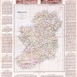
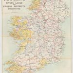
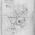
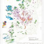
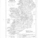
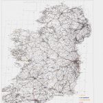
A small selection of 20th century maps showing information on specific subjects such as peatlands and railways. The 20th century exhibited the continuing expansion of paper map production leading, through technological advance, to digital mapping in the last quarter of the century.
(Image Full Screen plus Zoom and Pan controls are located in top right of Gallery when opened)