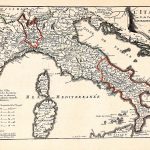
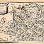
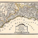
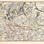
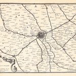
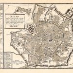
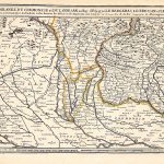
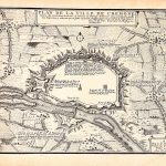
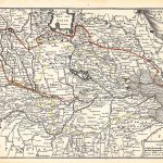
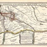
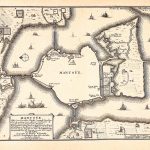
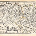
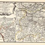
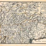
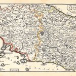
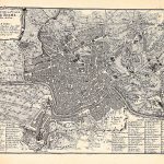
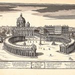
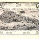
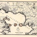
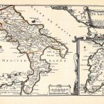
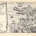
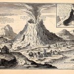
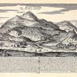
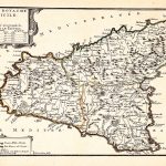
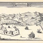
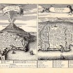
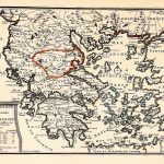
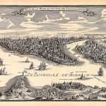
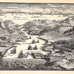
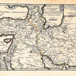
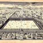
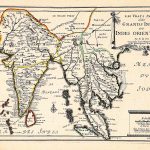
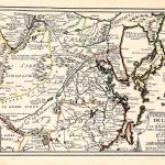
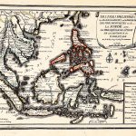
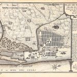
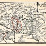
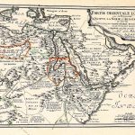
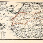
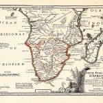
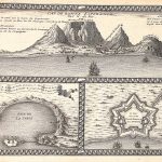
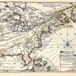
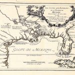
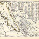
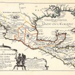
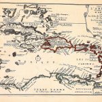
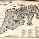
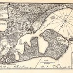
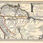
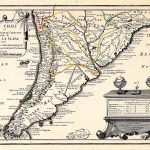
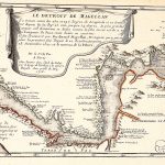
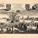
A set of 2 atlases by the renowned French mapmaker Nicolas de Fer 1646-1720. The 1st atlas covers France and the 2nd covers Europe and the rest of the world. The maps are most attractive with plenty of colour and much 17th century information. There are many maps of Spain and Italy but few of Germany. Although the atlas is dated 1704, it includes a map of Ireland prior to 1683.