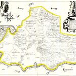
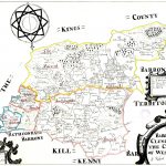
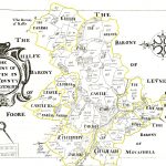
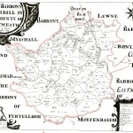
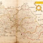
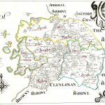
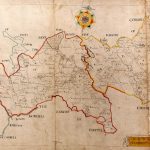
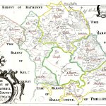
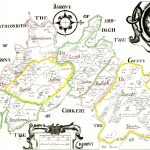
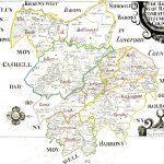
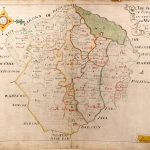
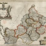
Ireland Barony Maps County Westmeath
A suite of barony maps produces as part of the Down Survey Project in the 18th century. The project involved a major survey of land ownership managed by Sir William Petty. He also produced the first accurate survey of Ireland which corrected major errors in the west and north coasts. The barony maps include a an early coloured edition of Petty’s county maps. Barony and parish maps are also shown on a set of county maps by Richards 1906.
(Image Full Screen plus Zoom and Pan controls are located in top right of Gallery when opened)
