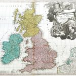
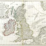
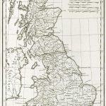
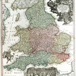
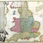
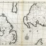
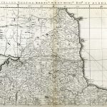
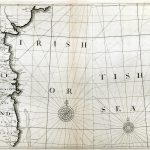
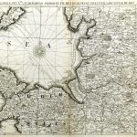
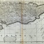
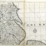
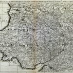
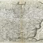
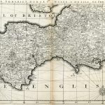
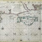
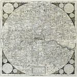
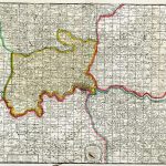
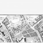
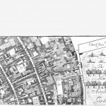
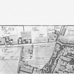
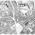
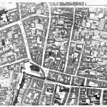
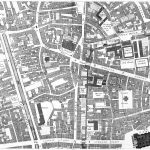
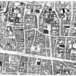
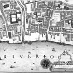
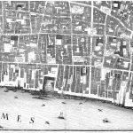
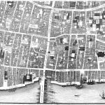
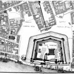
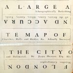
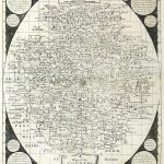
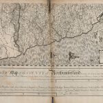
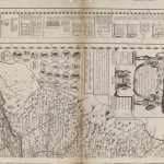
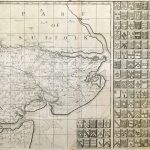
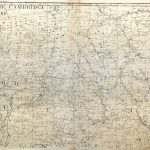
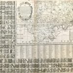
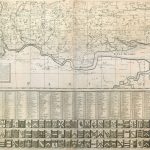
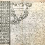
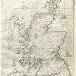
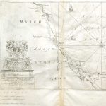
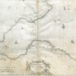
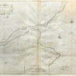
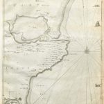
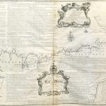
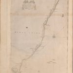
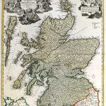
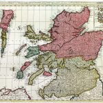
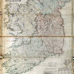
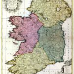
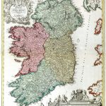
This is a good example of a small collection of maps with a specific topic, in his case the British Isles. There are maps of England, Scotland and Ireland. There is an important set of England & Wales by John Ogilby 1600-1676 as well as a very important set of London street plans by Ogilby produced after the Great Fire of London 1666. There are maps of English counties and maps of Ireland and Irish provinces.
(Image Full Screen plus Zoom and Pan controls are located in top right of Gallery when opened)