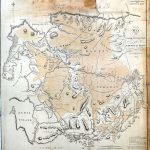
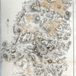
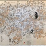
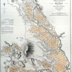
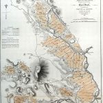
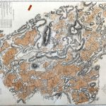
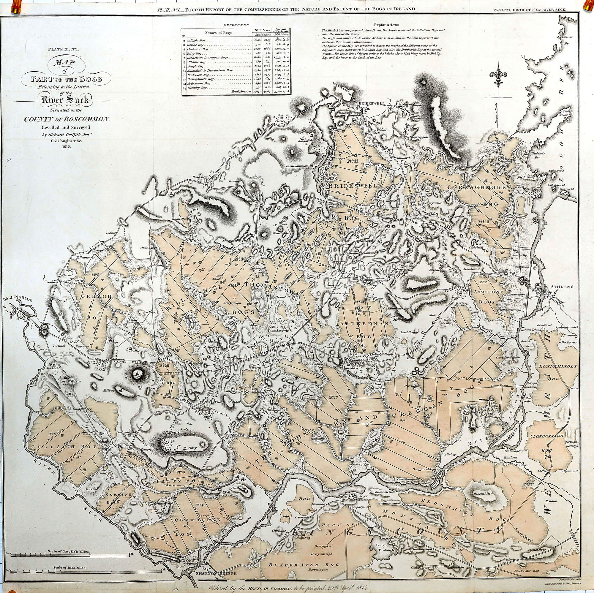
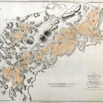
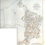
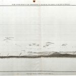
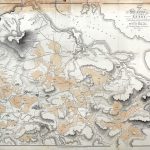
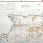
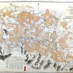
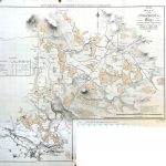
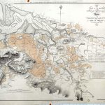
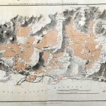
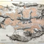
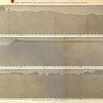
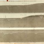
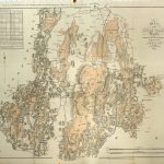
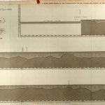
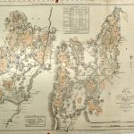
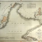
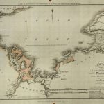
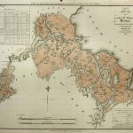
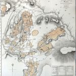
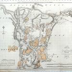
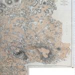
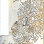
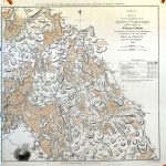
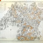
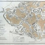
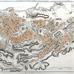
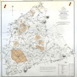
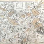
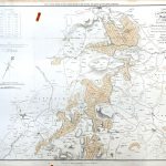
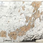
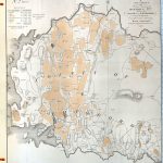
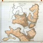
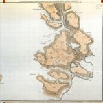
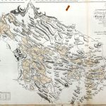
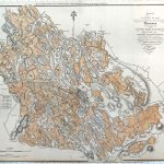
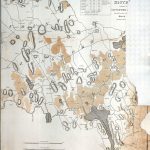
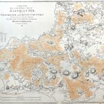
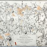
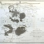
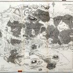
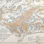
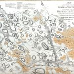
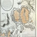
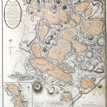
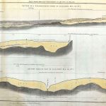
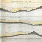
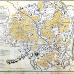
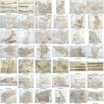
A suite of specialist maps produced under the auspices of the Commissioners for the enquiry into the nature and extent of the bogs of Ireland. The Commissioners were established in 1810 and the maps were produced speedily by 1812. Map makers recruited included Edgeworth, Longfield, Colbourne, Nimmo and in particular Richard Griffith. The maps are in colour and some maps have attractive cartouches.
(Image Full Screen plus Zoom and Pan controls are located in top right of Gallery when opened)