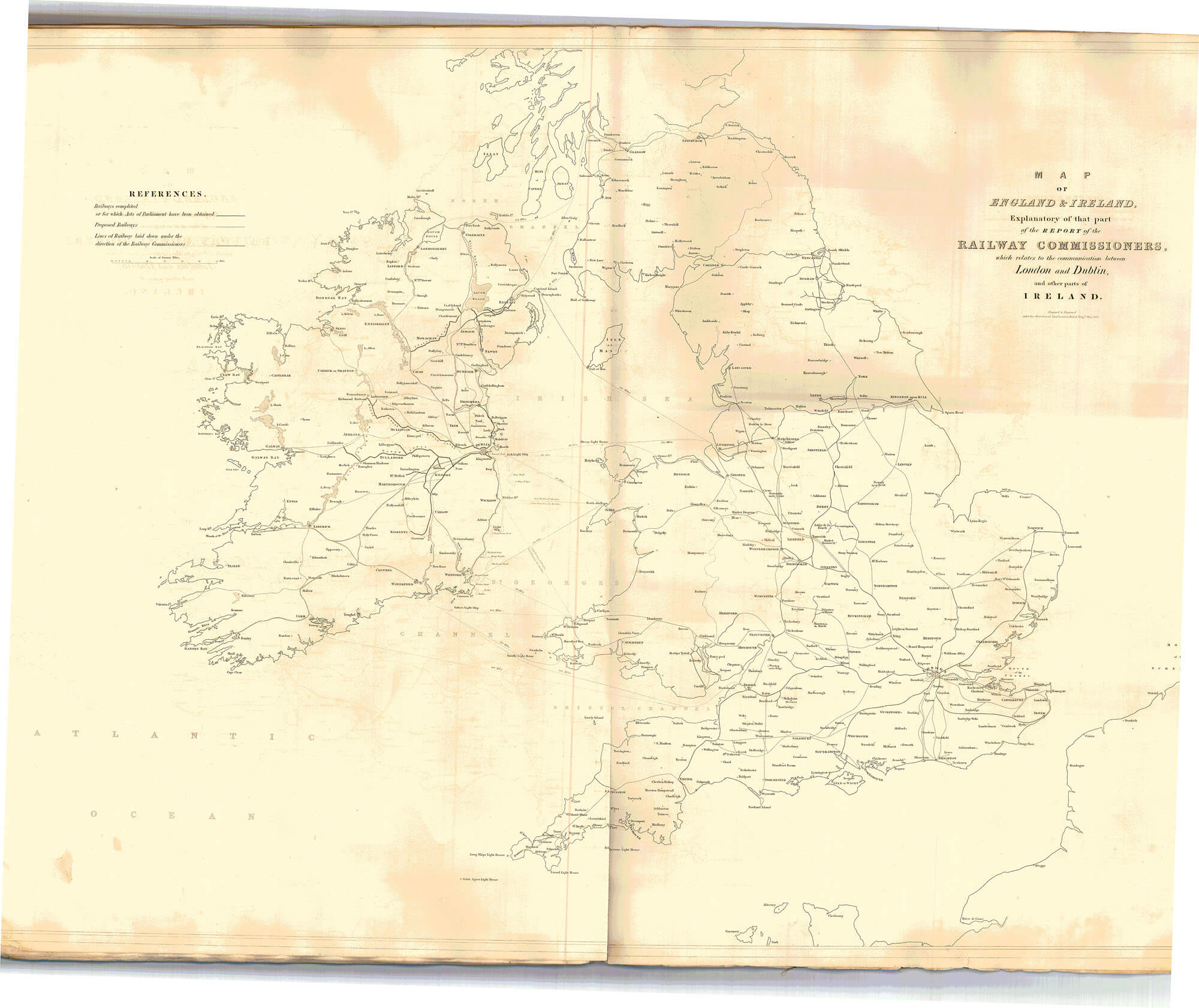
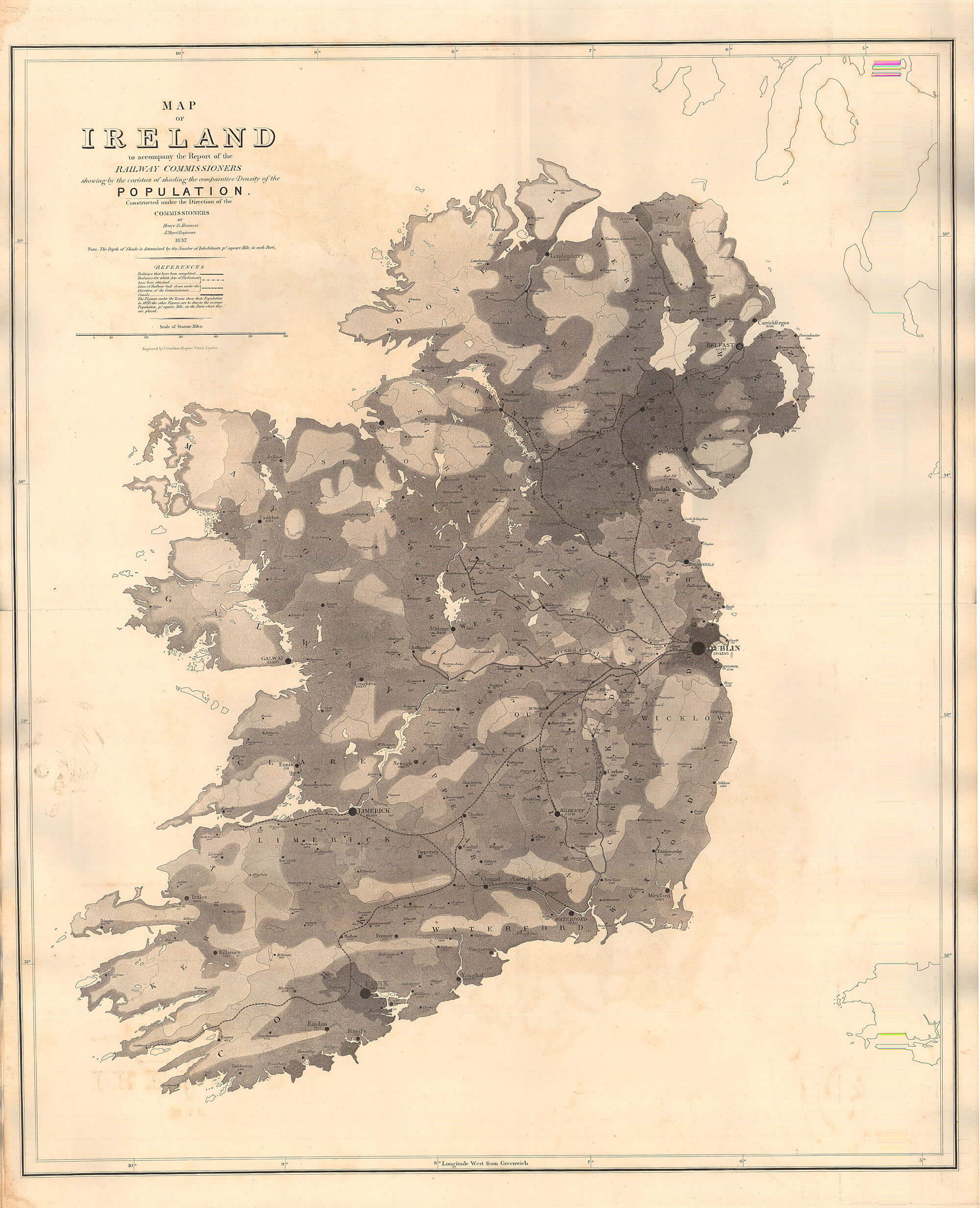
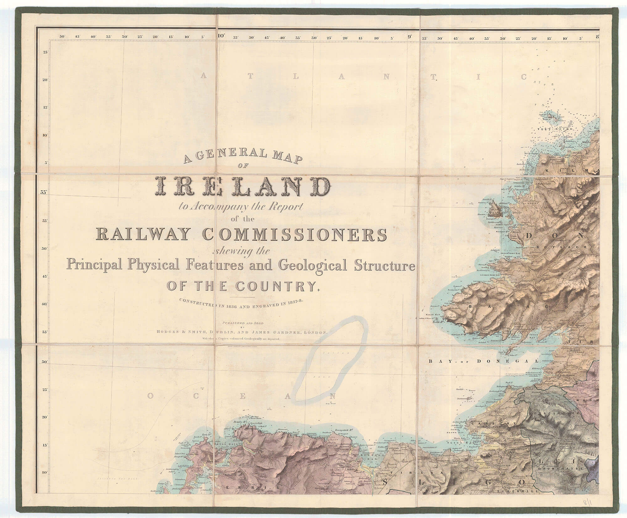
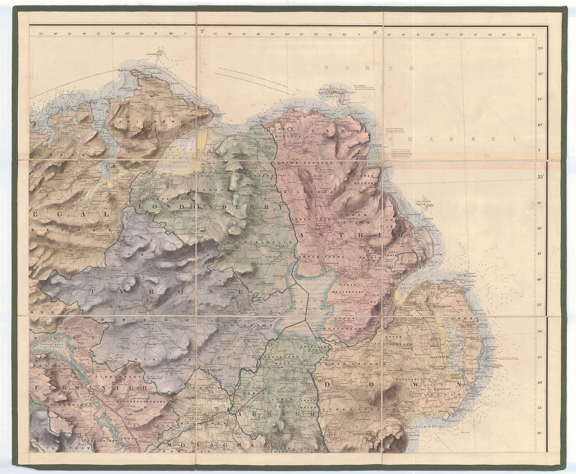
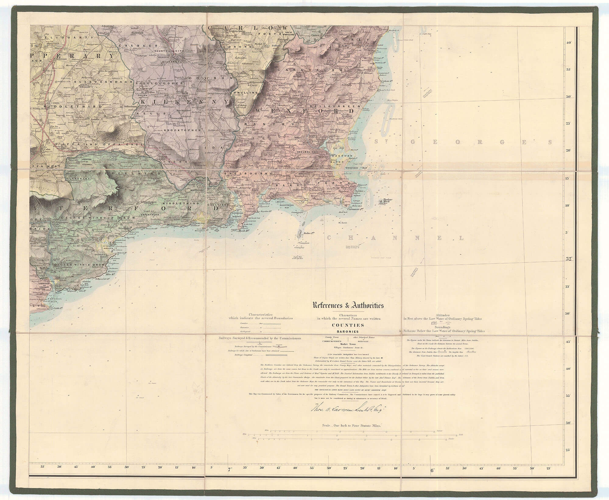
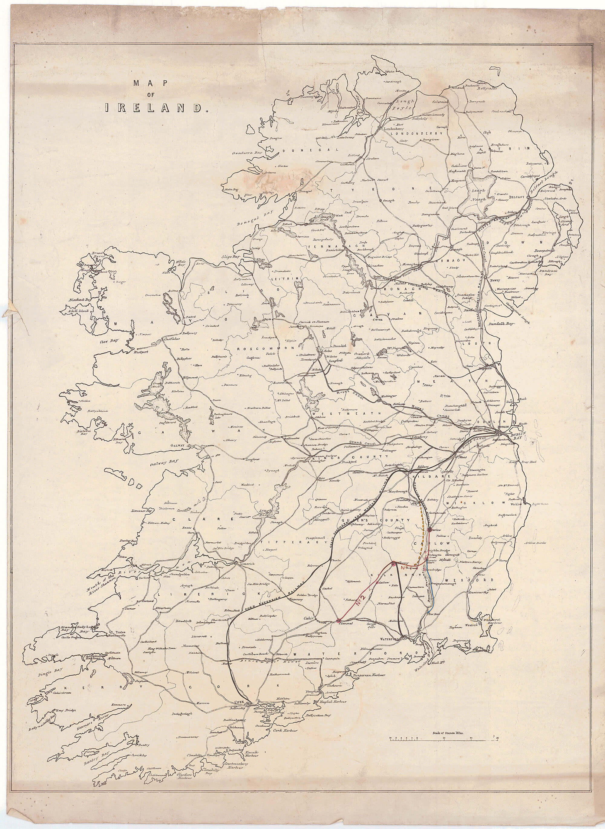
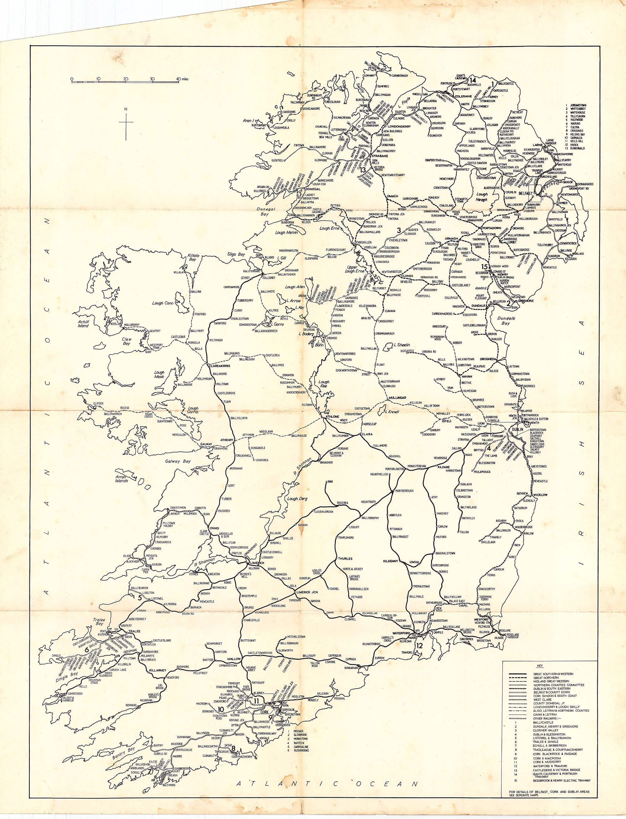
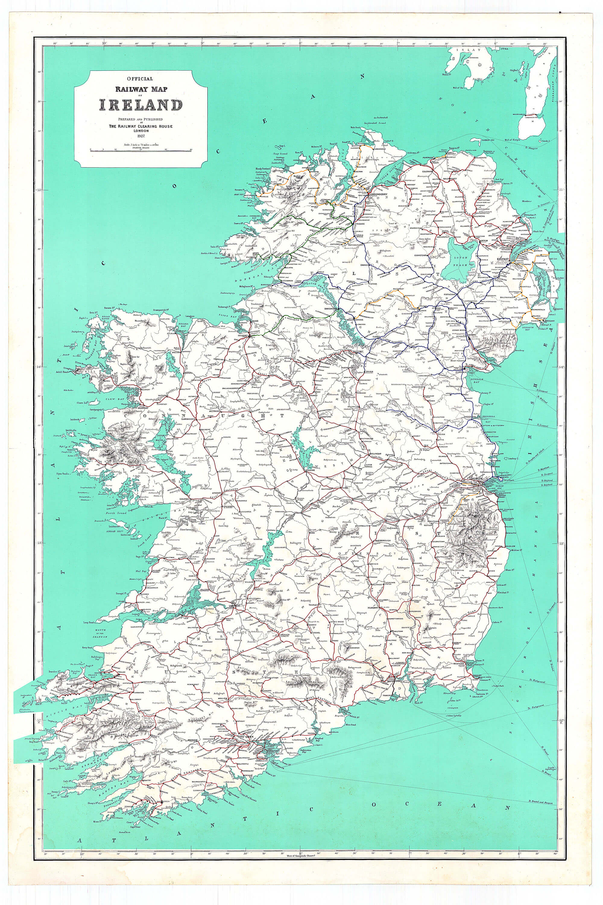
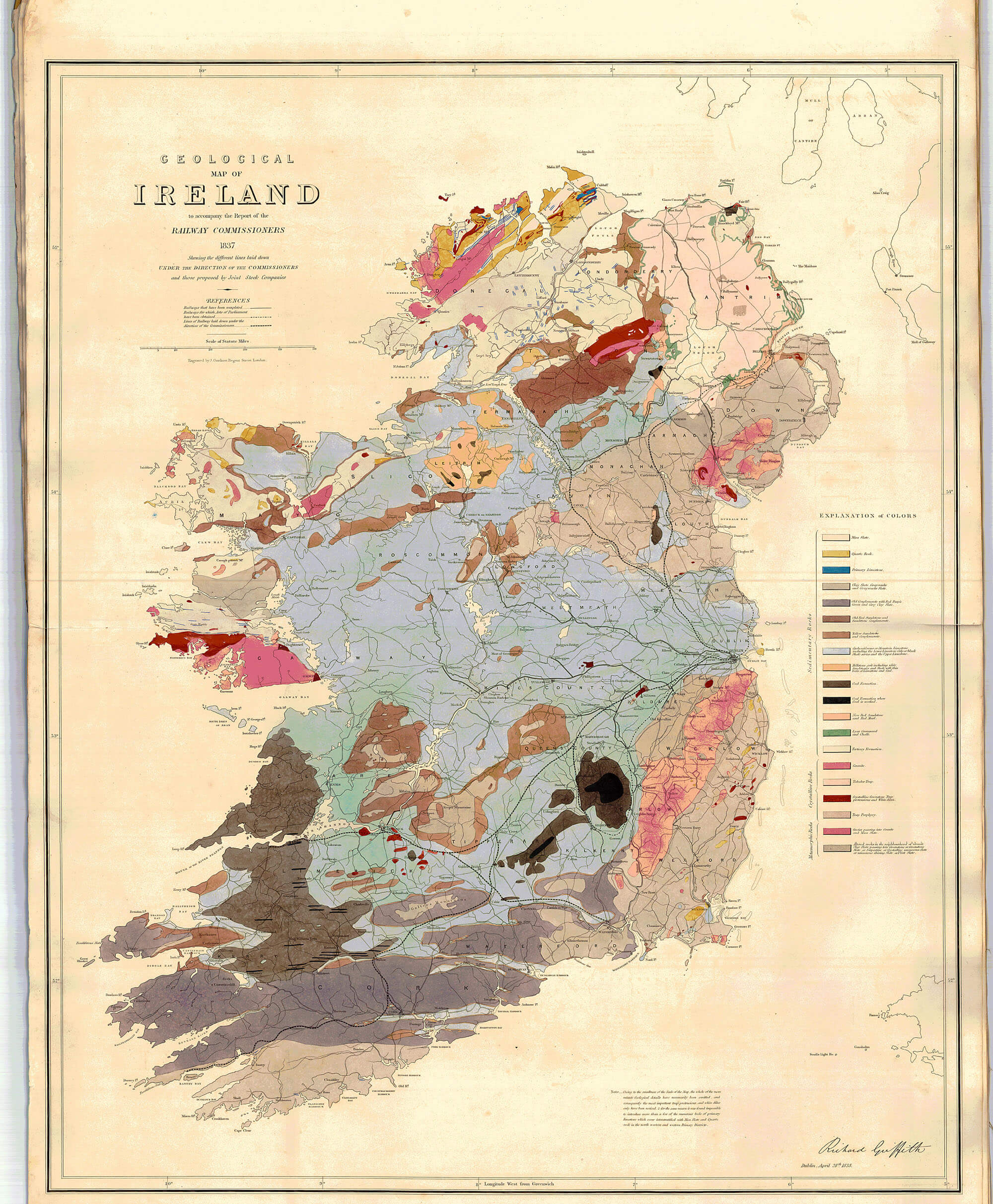
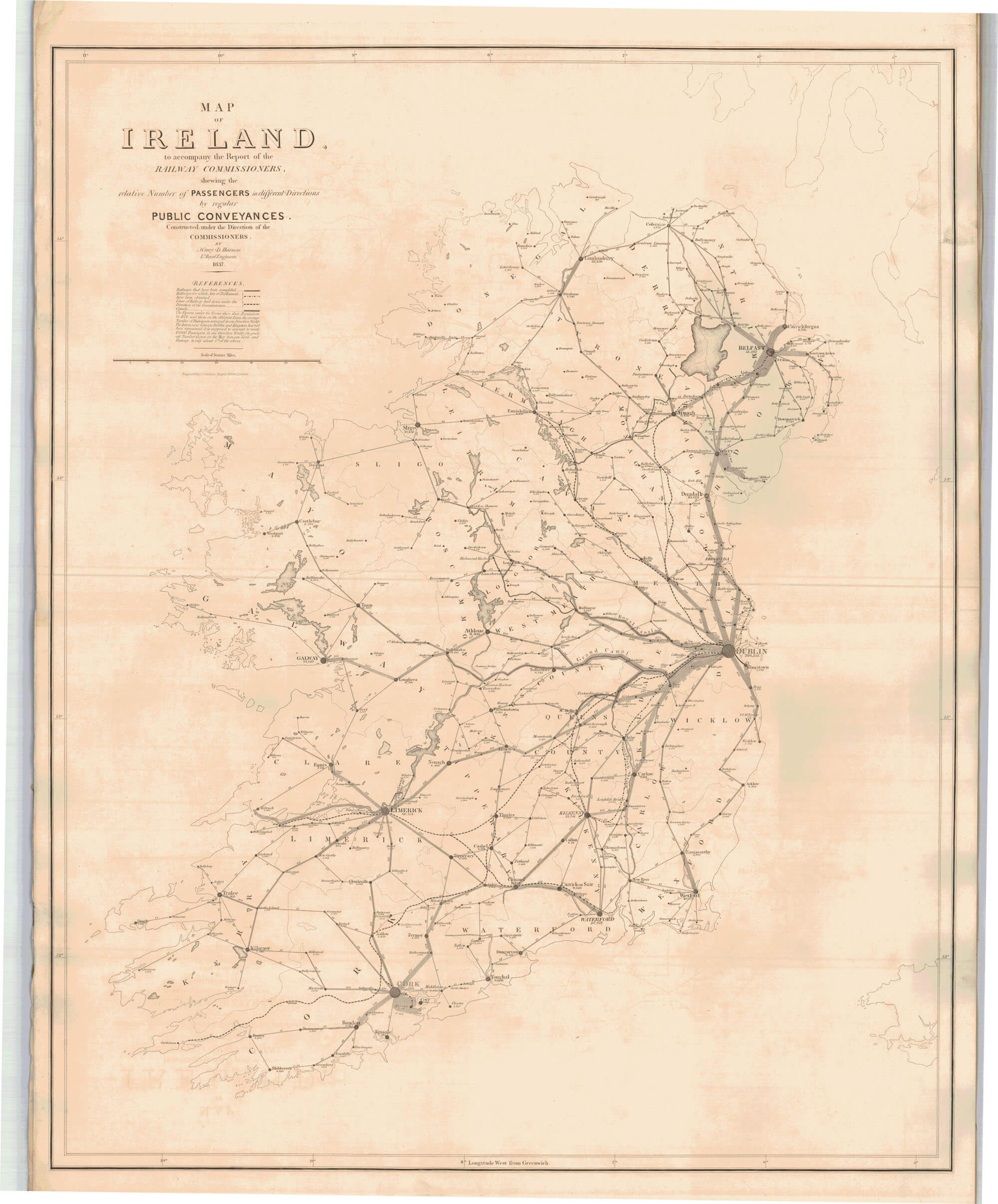
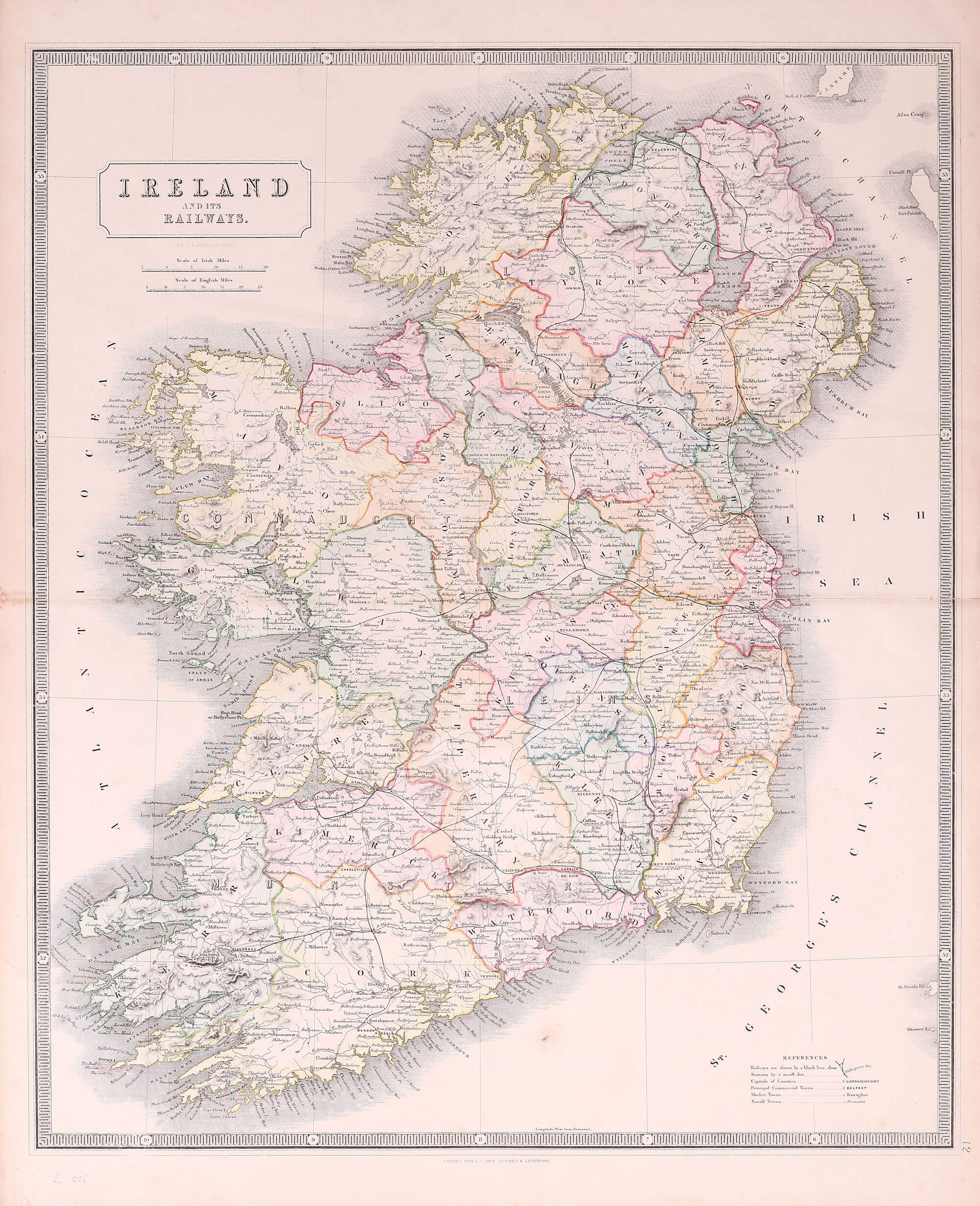
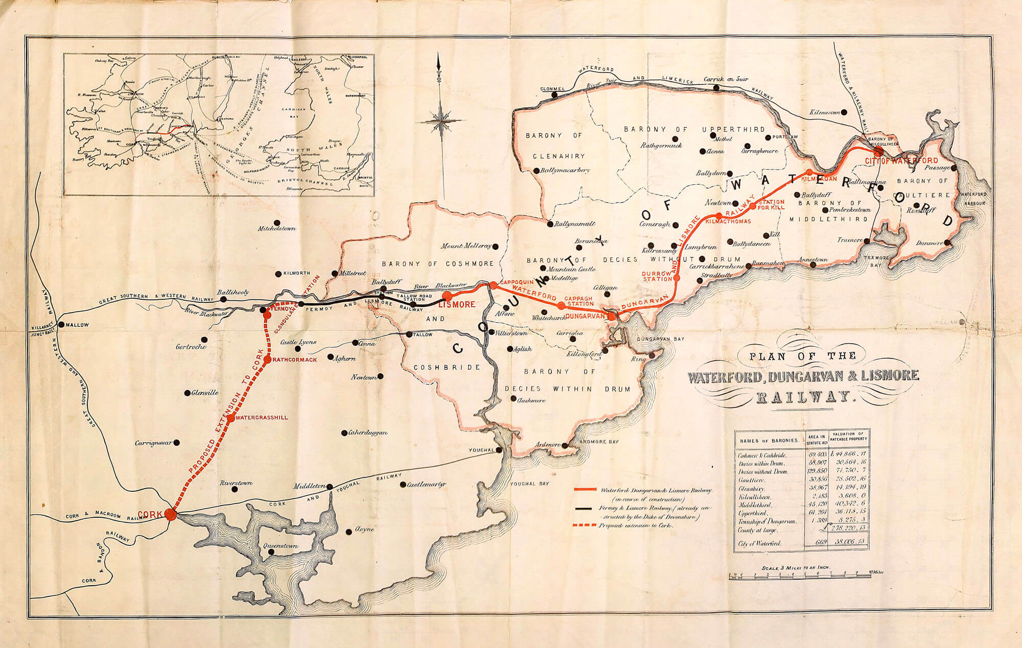
A selection of maps of Ireland displaying the railway network as it developed in the 19th and 20th centuries. The Railway Commissioners were responsible for the assessment of a railway network for Ireland and reported in 1838 with a significant range of information. Their maps extended to including topological and geological data, population distribution and traffic requirements.
(Image Full Screen plus Zoom and Pan controls are located in top right of Gallery when opened)