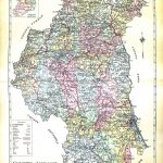
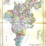
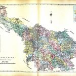
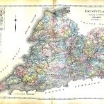
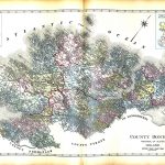
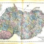
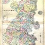
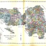
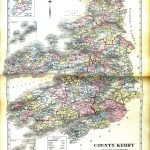
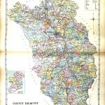
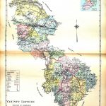
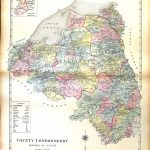
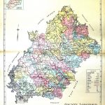
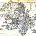
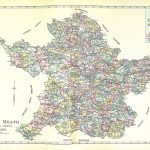
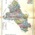
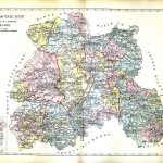
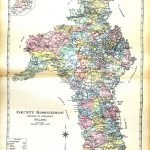
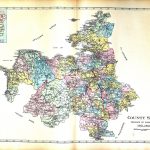
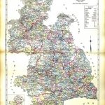
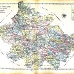
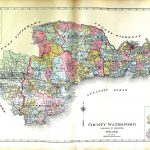
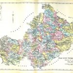
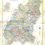
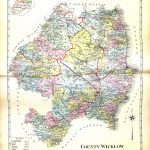
This is an important suite of maps by George Richards 1820-1896. They were published in America in what is known as the Memorial Atlas. The maps are in colour with a small key map which highlights the provinces and shows the location of the county. The map is 20th century and contains a large amount of information. Uniquely baronies and parishes are included on each county map.
(Image Full Screen plus Zoom and Pan controls are located in top right of Gallery when opened)