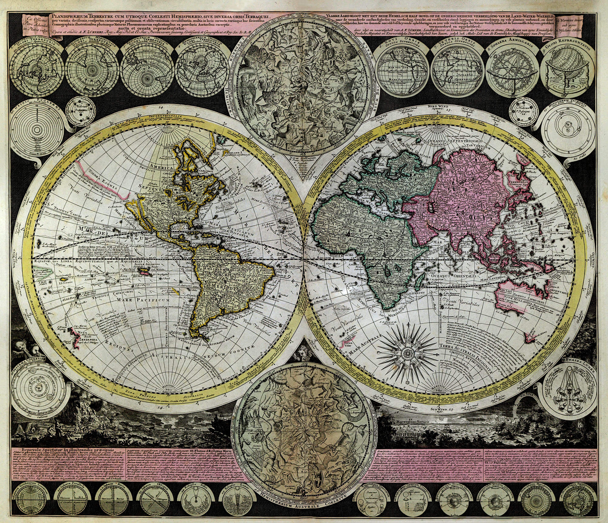
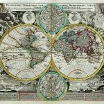
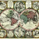
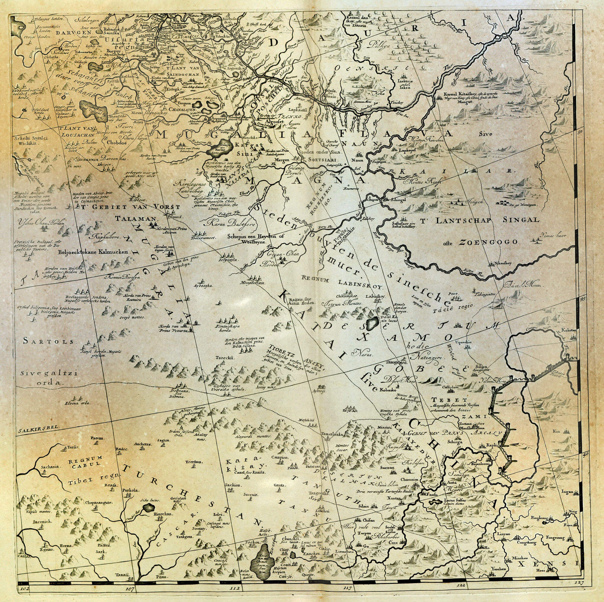
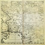
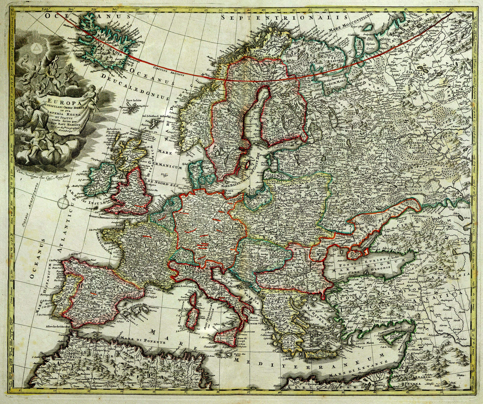
Maps of the world from the golden age of mapmaking in the 17th century are fascinating in the content of the maps and the artistic beauty displayed. This suite of maps provides examples of the highest quality of mapmaking. The artistic detail enhances the geographic content to a significant degree. The world maps of Homan & Seuter are as much works of art as they are maps just showing geographic content. There is a most important set of maps by Witsen which defines the various Silk Road routes. The L Brown Collection includes a composite of the Witsen maps which shows the extent of the “Silk Road” between China and Europe. Map F-55 is unusual in that there area covered is ficticious although the map is fully detailed.
(Image Full Screen plus Zoom and Pan controls are located in top right of Gallery when opened)