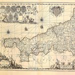
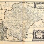
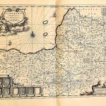
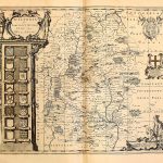
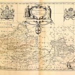
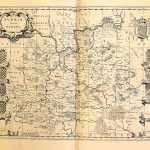
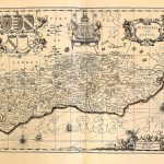
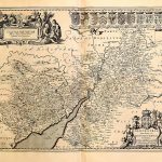
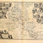
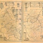
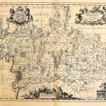
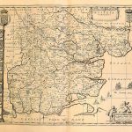
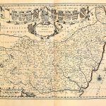
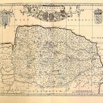
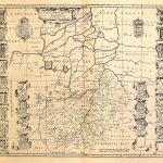
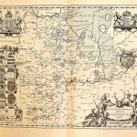
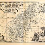
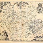
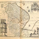
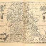
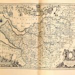
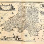
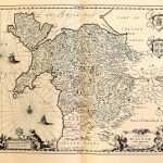
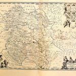
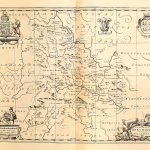
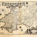
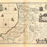
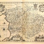
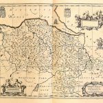
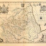
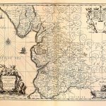
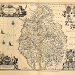
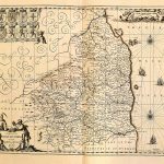
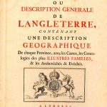
Atlas of England & Wales Mortier 1714- Z-1-6 A suite of English county maps by Peter Mortier 1661-1711. The maps show towns and topography as would be expected in a early 18th century atlas. (Image Full Screen plus Zoom and Pan controls are located in top right of Gallery when opened) Click any image to open Gallery Z-1-6-01-England Z-1-6-02-Cornwall Z-1-6-03-Devonshire Z-1-6-04-Dorsetshire Z-1-6-05-Somersetshire Z-1-6-06-Wilshire Z-1-6-07-Barkshire Z-1-6-08-Surrey Z-1-6-09-Sussex Z-1-6-10-Kent Z-1-6-11-Gloucestershire, Monmothshire Z-1-6-12-Oxfordshire Z-1-6-13-Buckinghamshire, Bedfordshire Z-1-6-14-Middlesex, Hertfordshire Z-1-6-15-Essex Z-1-6-16-Suffolk Z-1-6-17-Norfolk Z-1-6-18-Cambridgeshire Z-1-6-19-Huntingdonshire Z-1-6-20-Northamptonshire Z-1-6-21-Leicestershire Rutlandshire Z-1-6-22-Lincolnshire Z-1-6-23-Nottinghamshire Z-1-6-24-Derbyshire Z-1-6-25-Warwickshire Z-1-6-26-Shropshire Z-1-6-27-Cheshire Z-1-6-28-South Wales Z-1-6-29-North Wales Z-1-6-30-Herefordshire Z-1-6-31-Breknoke Z-1-6-32-Pembrokeshire, Carnarvanshirev Z-1-6-33-Cardiganshire Z-1-6-34-Montgomeryshire Z-1-6-35-Flintshire, Denbeighshire Z-1-6-36-Yorkshire Z-1-6-37-Durham Z-1-6-38-Lancashire Z-1-6-39-Cumberland, Westmorland Z-1-6-40-Northumberland Z-1-6-T1-Frontpiece Z-1-6-T16-Table of Contents