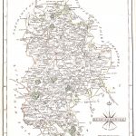
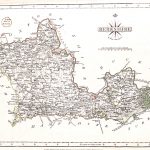
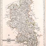
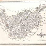
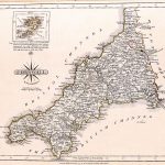
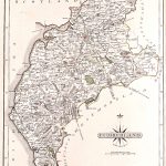
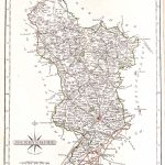
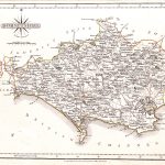
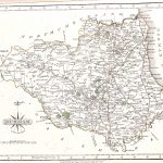
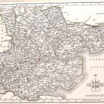
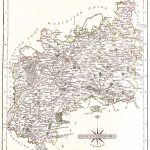
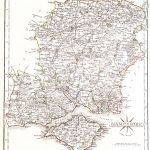
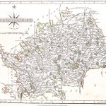
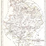
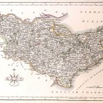
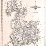
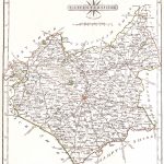
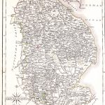
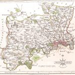
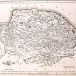
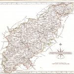
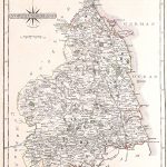
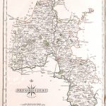
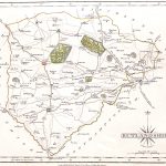
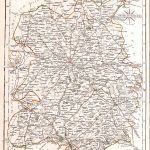
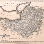
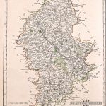
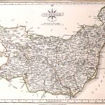
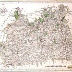
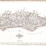
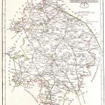
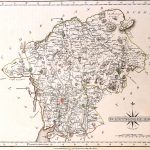
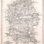
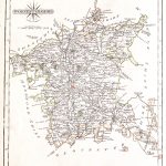
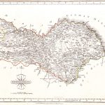
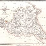
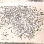
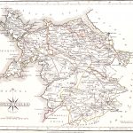
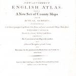
A suite of late 18th century maps by John Carey (1755-1835). The maps show the current road network. The cartography is excellent with a good use of colour. The maps are particularly easy to read with very legible text.
(Image Full Screen plus Zoom and Pan controls are located in top right of Gallery when opened)