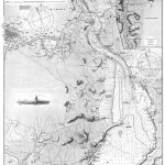
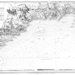
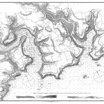
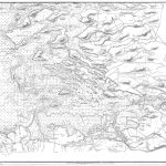
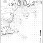
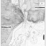
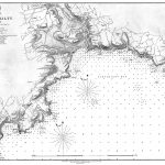
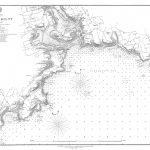
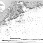
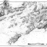
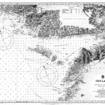
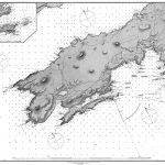
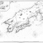
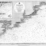
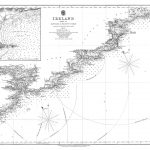
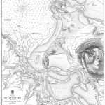
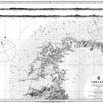
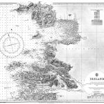
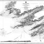
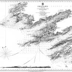
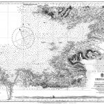
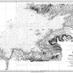
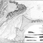
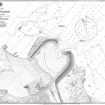
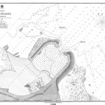
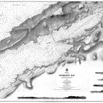
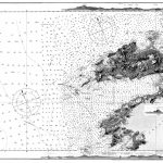
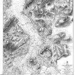
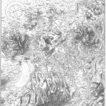
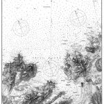
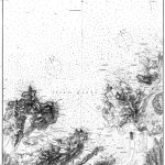
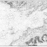
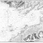
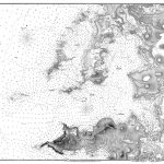
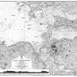
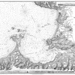
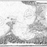
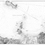
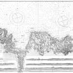
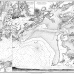
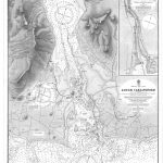
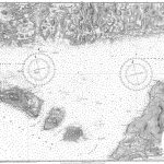
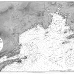
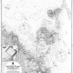
A comprehensive suite of 19th century British Admiralty nautical charts of the Irish coast and River Shannon including Lough Derg and Lough Ree. The charts are mostly 1st edition dated 1650-1690. There is an excellent chart no 1824a which covers the whole length of the Irish Sea including both Irish and British coastlines.
(Image Full Screen plus Zoom and Pan controls are located in top right of Gallery when opened)