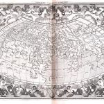
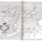
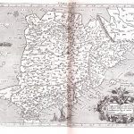
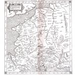
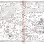
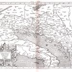
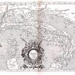
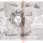
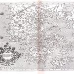
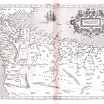
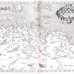
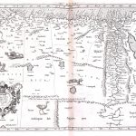
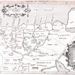
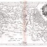
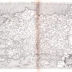
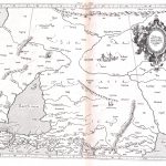
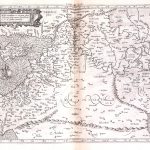
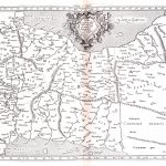
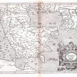
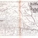
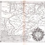
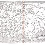
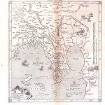
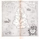
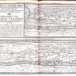
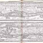
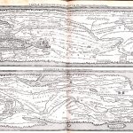
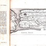
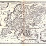
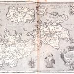
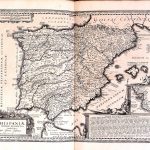
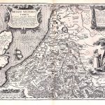
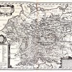
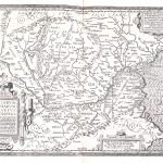
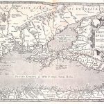
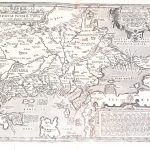
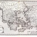
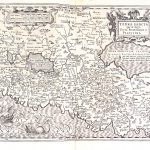
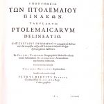
The atlas of maps by Claudius Ptolomy AD100-170 is based on his scientific treatise Geographia. This was developed by Ptolomy around AD150. The text was lost and was rediscovered around 1300. Printed maps based on the Geographia treatise began to be produced In the 15th century, with the earliest edition being produced in 1477. Through the 16th and 17th centuries a number of foremost mapmakers eg Bertius and Mercator produced their own atlases of Ptolomy’s treatise. Maps were both in colour and mono, the coloured maps being most attractive.
This is a version of the Ptolomy World Maps produced by Peter Bertius 1565-1629. They were in a normal cartographic format and included maps additional to other Ptolomy suites.
(Image Full Screen plus Zoom and Pan controls are located in top right of Gallery when opened)