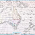
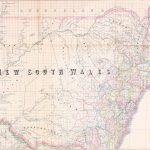
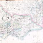
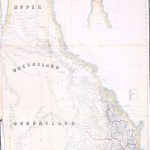
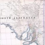
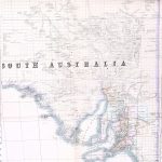
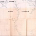
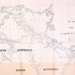
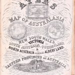
The “Atlas of Australasia” by Frederick Proeschel 1809-1870 was the first national atlas to be printed in Australia. It includes large maps of the colonies and an important map of Australia. The maps include information from government sources and work carried out by Proeschel and his associates. They were thus particularly authoratative. The atlas is extremely rare.
(Image Full Screen plus Zoom and Pan controls are located in top right of Gallery when opened)