Atlas Maior Vol 7 Z-1-28 Blaeu 1662 France and Switzerland Part 2 Maps 41-70
The Atlas Maior was the final version of the most comprehensive atlas of world maps by Johannes Blaeu 1596-1673. This atlas was published in 11 volumes in latin between 1662 and 1665. It was the largest, 594 maps, and, not surprisingly, the most expensive book published in the 17th century. The maps are in colour and are of exceptional quality. The atlas includes maps by many of the foremost mapmakers of the day.
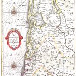
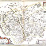
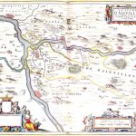
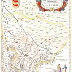
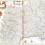
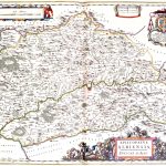
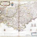
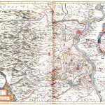
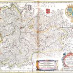
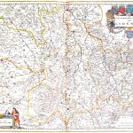
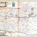
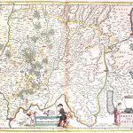
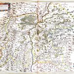
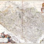
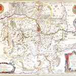
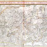
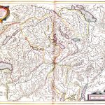
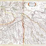
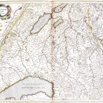
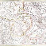
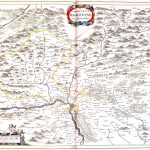
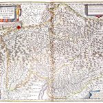
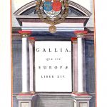
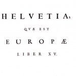
Volume 7 contains a comprehensive suite of maps of France and a small number of maps of Switzerland.
The suite has been divided into 2 parts to make it more convenient to view the maps.
(Image Full Screen plus Zoom and Pan controls are located in top right of Gallery when opened)