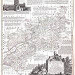
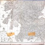
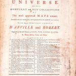
An unusual and important atlas including maps of Britain and British possessions in North America by Thomas Kitchin 1719-1784. There is only one county map, Sheet 7 Gloucestershire and a map of only Southern Ireland Sheet 12. The cartography is excellent with colour being used to highlight boundaries. Sheet 42 South Scotland is very much out of place. The inclusion of Sheet Egypt Sheet 40 shows its importance in the British Empire. There are a number of very large maps of Asia, India, Russia and Europe. They contain much information. A number of maps have decorative cartouches.
(Image Full Screen plus Zoom and Pan controls are located in top right of Gallery when opened)
Click any image to open Gallery
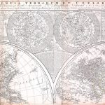
GALL-S-15-4-01-World Hemisphere North
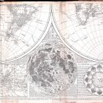
GALL-S-15-4-02-World Hemisphere South
GALL-S-15-4-03-Europe North
GALL-S-15-4-04-Europe South
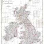
GALL-S-15-4-05-British Isles
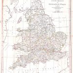
GALL-S-15-4-06-England & Wales
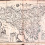
GALL-S-15-4-07-Gloucester
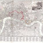
GALL-S-15-4-08-London
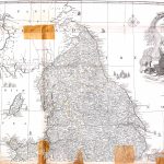
GALL-S-15-4-09-England & Wales North
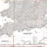
GALL-S-15-4-10-England & Wales South
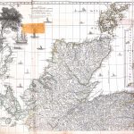
GALL-S-15-4-11-Scotland
GALL-S-15-4-12-Ireland South
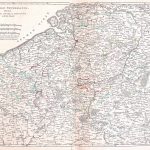
GALL-S-15-4-13-Catholic Netherlands
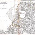
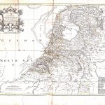
GALL-S-15-4-14-United Provinces (Holland)
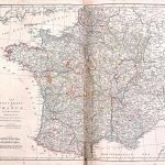
GALL-S-15-4-15-France, Post Roads
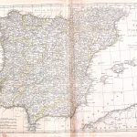
GALL-S-15-4-16-Spain, Portugal
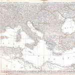
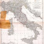
GALL-S-15-4-17-Italy
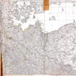
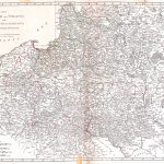
GALL-S-15-4-18-Germany North
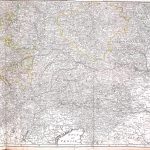
GALL-S-15-4-19-Germany South
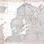
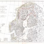
GALL-S-15-4-20-Sweden, Denmark, Norway
GALL-S-15-4-21-Poland, Lithuania
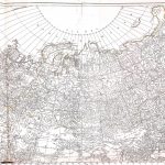
GALL-S-15-4-22-Russia in Europe, Asia
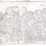
GALL-S-15-4-23-Asia North
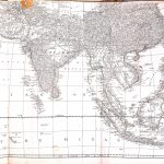
GALL-S-15-4-24-Asia South
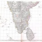
GALL-S-15-4-25-India South
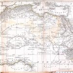
GALL-S-15-4-26-Africa North
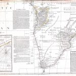
GALL-S-15-4-27-Africa South
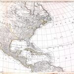
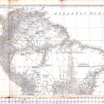
GALL-S-15-4-28-America North
GALL-S-15-4-29-America South
GALL-S-15-4-30-North East America
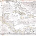
GALL-S-15-4-31-Central America, West Indies
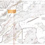
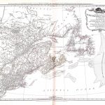
GALL-S-15-4-32-River St Lawrence
Gall-S-15-4-33
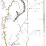
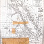
GALL-S-15-4-33-River Mississippi
GALL-S-15-4-34-South America North, Falklands
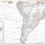
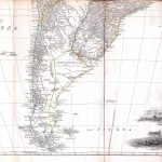
GALL-S-15-4-35-South America South
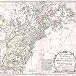
GALL-S-15-4-36-North America North, British Colonies
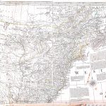
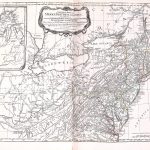
GALL-S-15-4-37-North America Middle, British Colonies
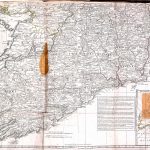
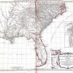
GALL-S-15-4-38-North America South, British Colonies