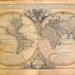
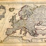
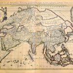
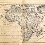
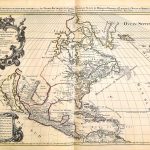
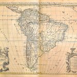
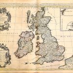
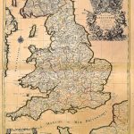
World Atlas by Hubert Jaillot A-1-72 1696 Sheets 3-101
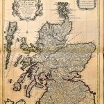
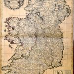
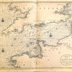
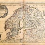
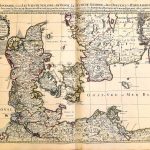
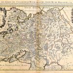
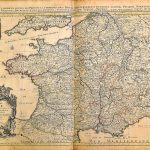
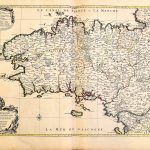
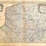
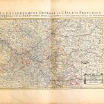
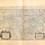
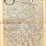
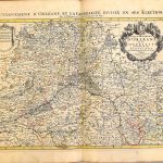
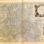
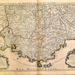
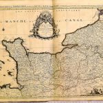
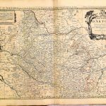
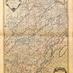
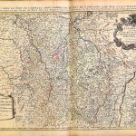
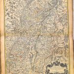
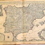
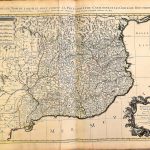
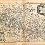
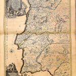
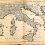
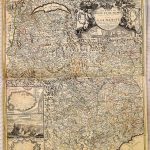
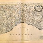
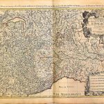
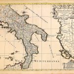
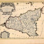
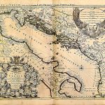
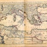
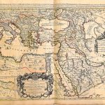
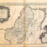
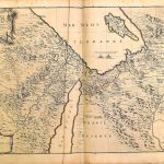
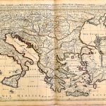
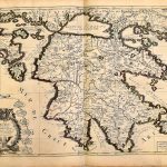
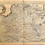
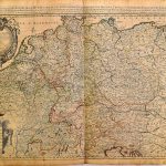
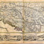
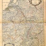
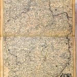
A suite of quality maps of the world by the renowned mapmaker Hubert Jaillot 1632-1712. The cartography and ext are highly legible and political and administrative boundaries are picked out in colour. There are a number of maps of the Rhine, Danube and Moselle. The map of the Danube , sheet 98, is most attractive with a number views along the river. Maps of Holland show polders and land parcels. The map of the British Isles, sheet 16, and that of Ireland, sheet 23, show cartography before and after the definitive map by Petty 1683. The cartouches on all the maps are highly embellished.v
(Image Full Screen plus Zoom and Pan controls are located in top right of Gallery when opened)