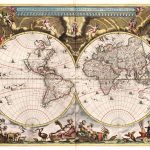
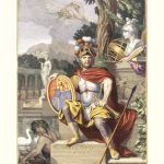
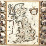
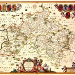
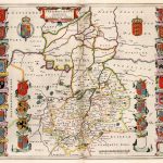
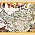
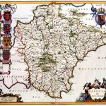
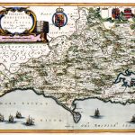
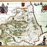
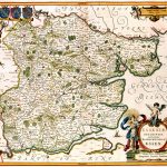
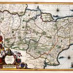
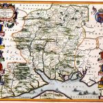
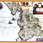
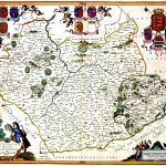
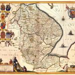
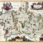
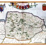
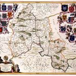
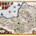
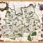
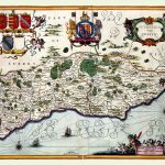
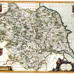
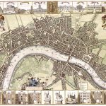
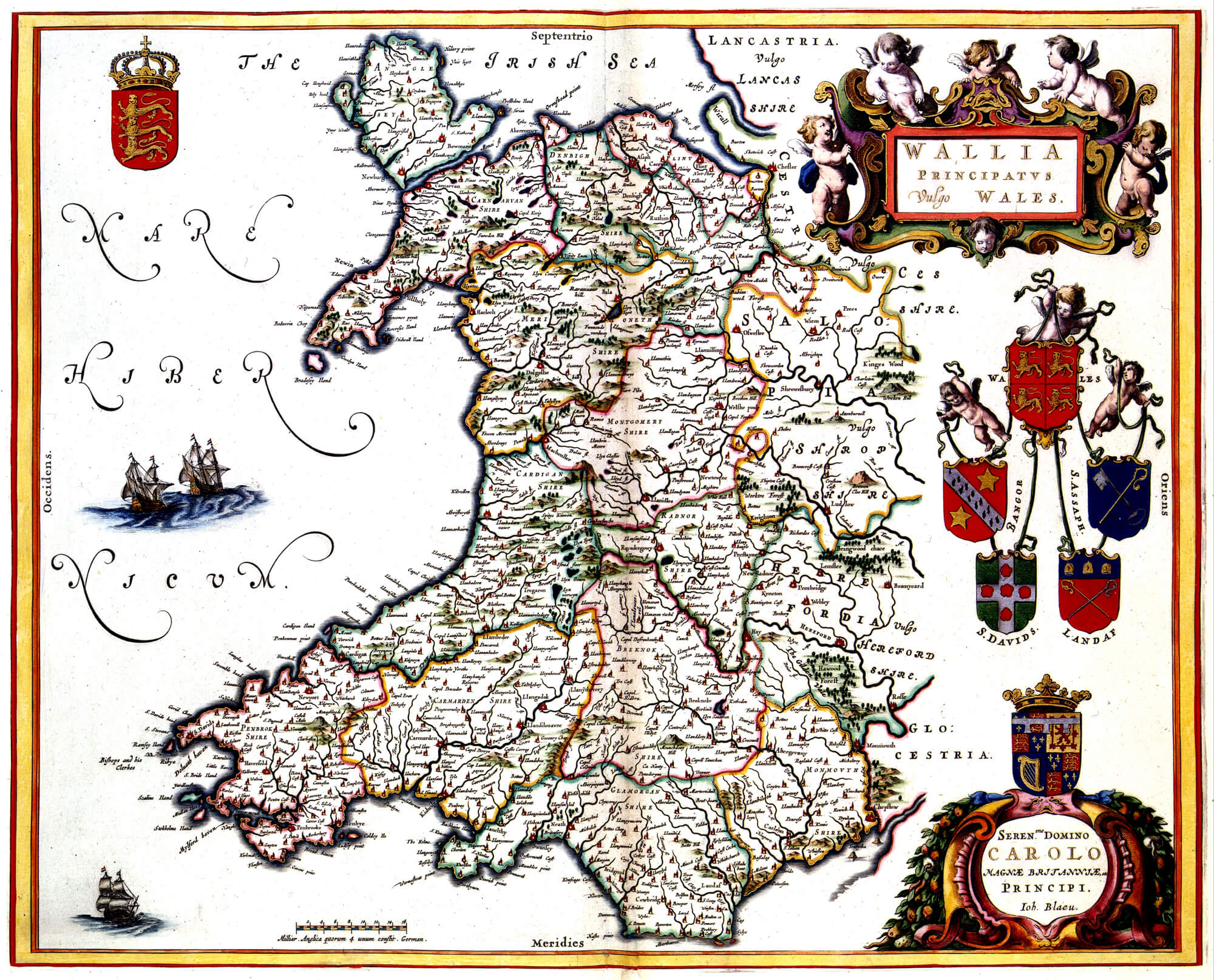
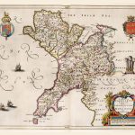
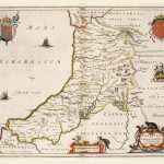
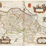
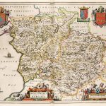
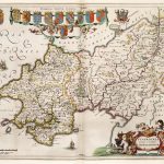
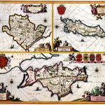
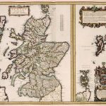
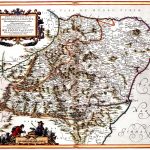
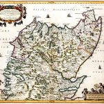
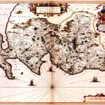
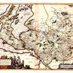
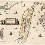
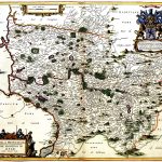
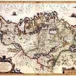
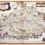
A complete atlas for the British Isles including a most attractive world map by Johannes Jannson 1588-1664. He was one of the foremost mapmakers of the 17th century. The maps cover England, Wales, Scotland and Ireland. There is an impressive frontpiece. The county maps are augmented by maps of the world, British Isles, Britain and England. The maps are in colour and include a set of shields as well as a decorative cartouche.
(Image Full Screen plus Zoom and Pan controls are located in top right of Gallery when opened)