Atlas Maior Vol 2 Z-1-23-Russia-Eastern Europe
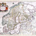
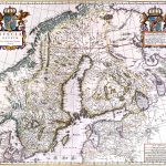
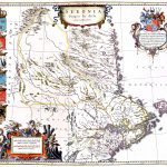
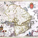
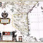
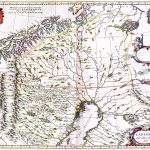
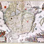
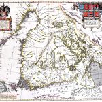
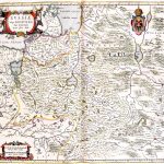
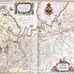
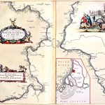
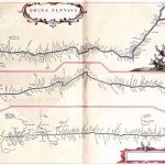
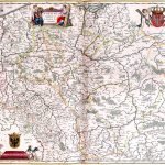
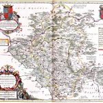
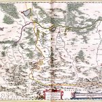
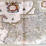
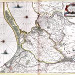
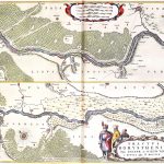
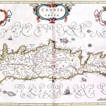
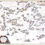
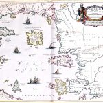
The Atlas Maior was the final version of the most comprehensive atlas of world maps by Johannes Blaeu 1596-673. This atlas was published in 11 volumes in latin between 1662 and 1665. It was the largest, 594 maps, and, not surprisingly, the most expensive book published in the 17th century. The maps are in colour and are of exceptional quality. The atlas includes maps by many of the foremost mapmakers of the day.
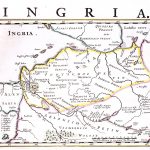
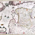
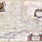
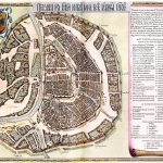
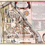
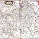
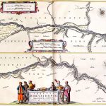
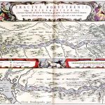
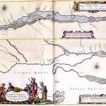
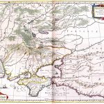
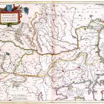
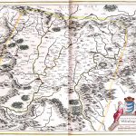
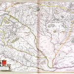
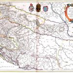
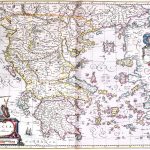
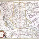
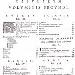
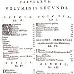
Volume 2 covers Scandinavia, Russia and extends to Eastern Europe and Greece. There is an attractive map of Moscow and the cartouches are very well drawn and of significant artistic quality
(Image Full Screen plus Zoom and Pan controls are located in top right of Gallery when opened)
To purchase a digital print of any map click this text – BUY A MAP
TO PURCHASE A PRINTED MAP
2
MAKE PAYMENT
Invoice Will Be Emailed
Pay online or
by Bank Transfer
3
RECEIVE MAP
Map Will Be Printed
And Sent To You By Post
Within One Week
MAP SIZES AND PRICING
Note* Original maps in the collection for print are of a much larger size
and higher visual quality than the reduced file size copies uploaded to this website.
Size Tax Shipping
Price in Euro’s includes Vat Tax at 13.5%
Price includes post and packaging (shipping)
Maps can also be produced at any size
Custom Size Prices on request
60x40cm or 24x16in
Send to Ireland – €59
Send to Uk, Europe – €59
Send to USA – €59
90x70cm or 36x28in
Send to Ireland – €79
Send to Uk, Europe – €99
Send to USA – €99