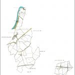
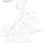
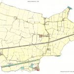
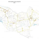
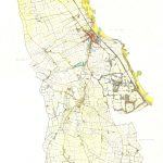
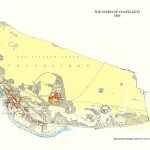
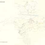
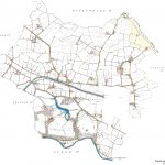
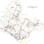
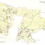
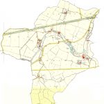
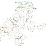
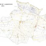
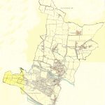
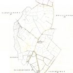
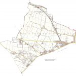
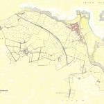
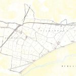
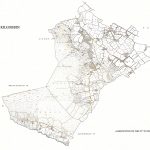
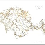
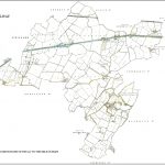
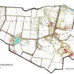
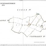
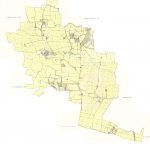
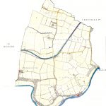
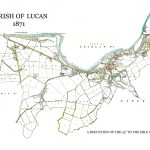
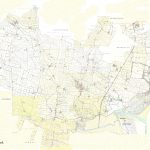
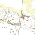
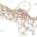
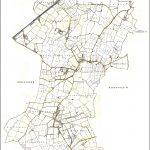
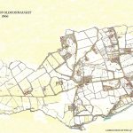
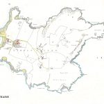
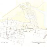
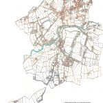
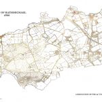
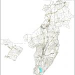
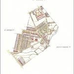
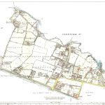
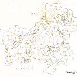
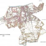
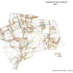
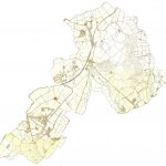
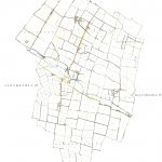
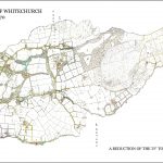
A suite of large scale 25in to one mile maps of Dublin parishes were produced by the Ordnance Survey around 1865. They were unique in that they were in colour and displayed information for a particular county. There could be up to 25 maps to cover a county. The colour was very attractive and the cartography was of high quality. This suite contains a composite map for each county. This allows the county to be displayed as a whole and is of some benefit due to the number of maps covering a particular county.
(Image Full Screen plus Zoom and Pan controls are located in top right of Gallery when opened)